LETJOG PEAK No 4: Ditchling Beacon, East Sussex (248 metres)
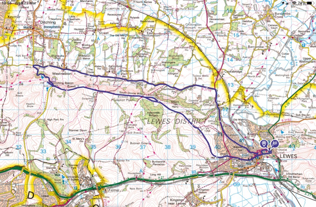
Walk Date: Wednesday 22 March 2023
My fourth County Top, and at last a free-standing hill with the prospect of far-reaching views! The three summits so far conquered on my LETJOG Peaks venture have a combined prominence of 15 metres, so Ditchling Beacon, East Sussex’s apex, with a figure of 213 metres, promised a more impressive climb with some striking vistas. The weather saw to those ideas, but more of that later.

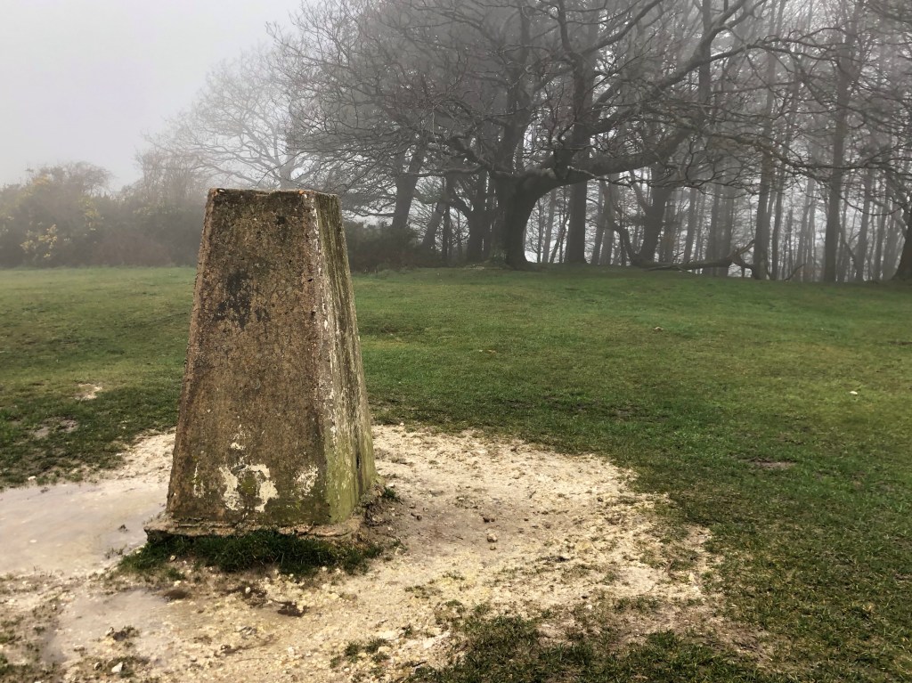
It might now be a good time for a short explanation of some topographic terms that I have used, or might be tempted to use, in my Blogs. When speaking of the height of a hill I am referring to its absolute elevation, with this vertical distance taken from the Ordnance Survey (OS) measurements of GB Mean Sea Level that uses datum levels based on established tidal gauge readings at Newlyn in Cornwall. Standard OS mapping relies on this data and depicts elevation via contours and spot heights, measured in metres. Trigonometrical (or ‘trig’) points, small concrete pillars topped by a graven metal plate for mounting a theodolite, are found across the country, providing a network of universal surveying stations of fixed location and height. For convenience and familiarity I follow these metric height measurements; alongside my imperial mileage measures such inconsistency perhaps betrays my hybrid thinking! Finally, as regards height, I refer on occasions to my cumulative climb for a particular day’s walk, and this of course is the total of all the uphill sections for that day (as measured on my daily map plot on the OS App).
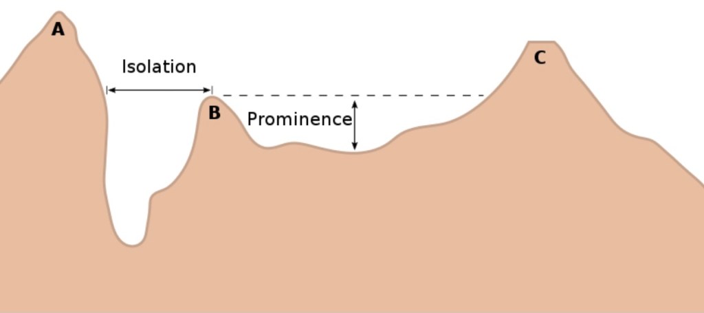
‘County Top’, a term I have already used in this Blog, is established and self-explanatory terminology for the peak of a shire, but other topographical terms, such as prominence and isolation, may perhaps give a better guide to the apparent size and ‘impressiveness’ of a hill or mountain. Topographic prominence refers to the elevation of a summit relative to its surrounding terrain, and more particularly to the peak’s height measured to the lowest contour line surrounding it but containing no higher summit within it (ie to its highest col). Isolation measures the minimum distance from a given summit to any other point of greater or equal elevation. These measures are used by mountaineers and walkers, and others, as measures of the subjective significance of a given peak. The following diagram (courtesy of Wikipedia) best explains all this.
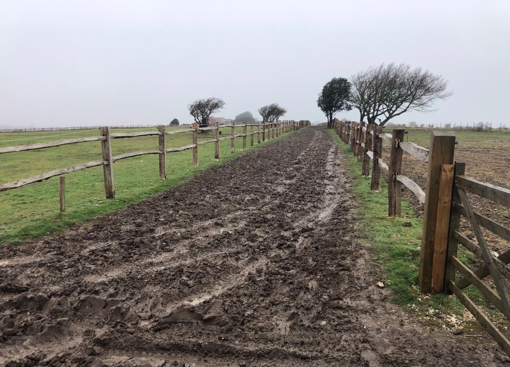
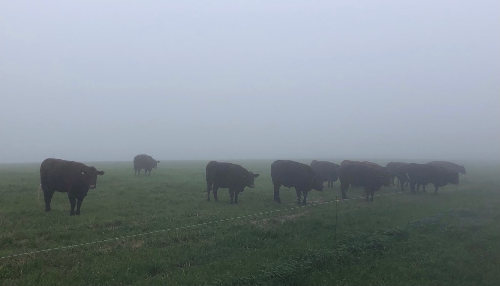
Lecture over – what I am trying to say is that, at least subjectively, the three County Tops that I have climbed to date have been less impressive than today’s summit, Ditchling Beacon, despite the latter’s very similar 248 height. This pinnacle of East Sussex, with a prominence of 213 metres, had the makings of a more spectacular climb today, but there is another factor of course: the weather! The photos tell their own story.


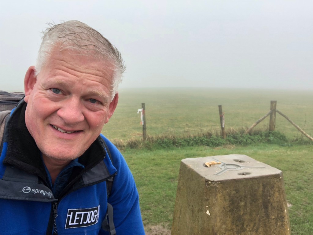
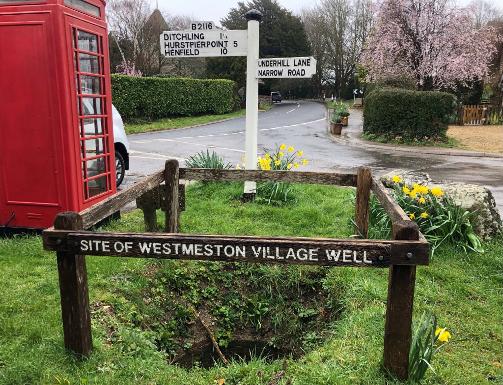


So ended a rather wet day on the South Downs. It was certainly good to return to East Sussex, even though the views didn’t materialise. Four LETJOG Peaks climbed now!

My Blog heading today ‘Can’t Stop Now’ follows a title by the alternative rock band Keane who hail from East Sussex, having met at Tonbridge School. The song is an album track from their debut studio album ‘Hopes and Fears’ that topped the UK chart upon its release in 2004. I love the sound and the vibe of this album, and the title and lyrics of this particular track have a certain relevance to my LETJOG Peaks challenge on damp days such as this!