
LETJOG PEAKS Nos 17 and 18: Shining Tor, Cheshire (559 metres) and Cheeks Point, Staffordshire (520 metres)
Walk Date: Thursday 4 May 2023

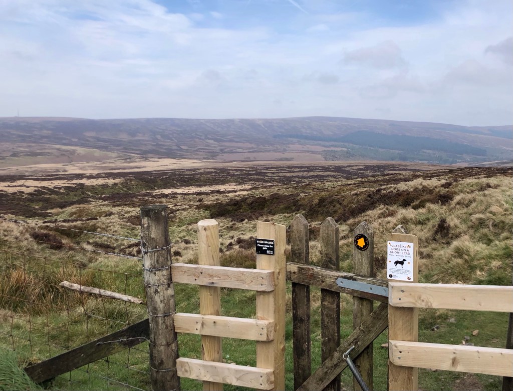
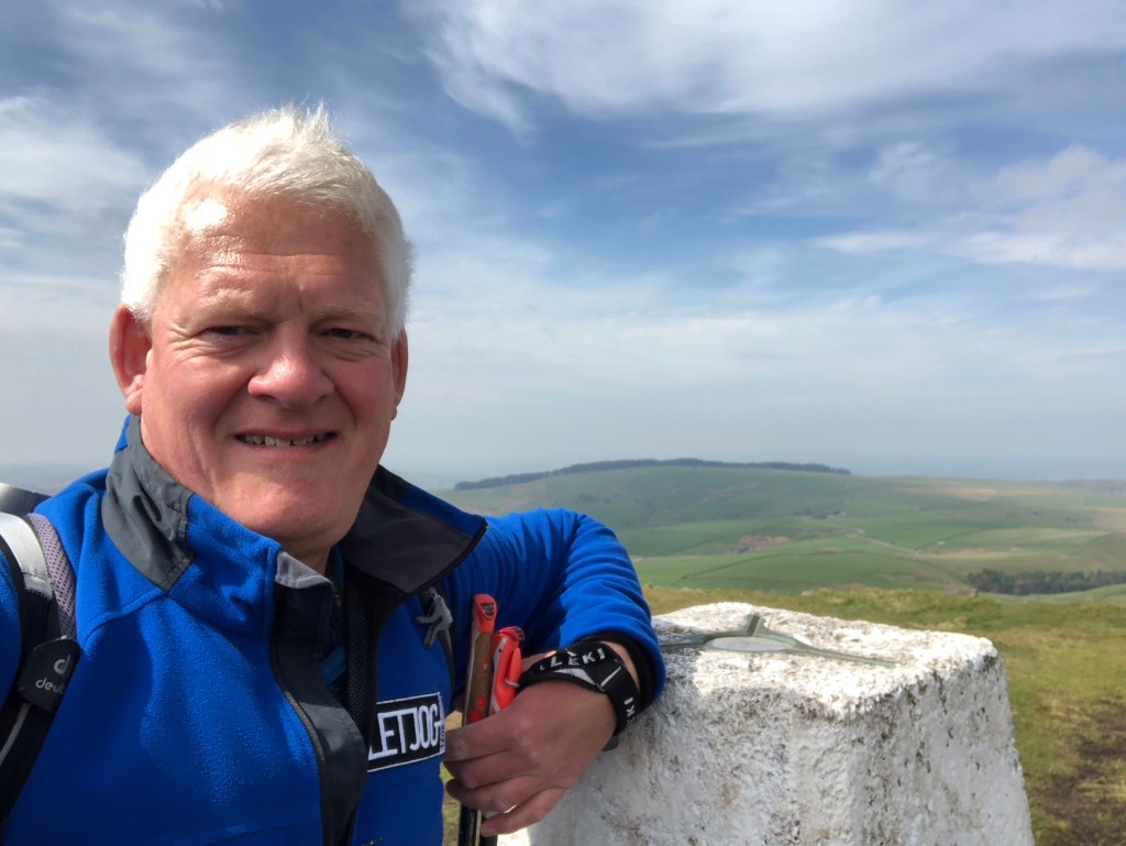
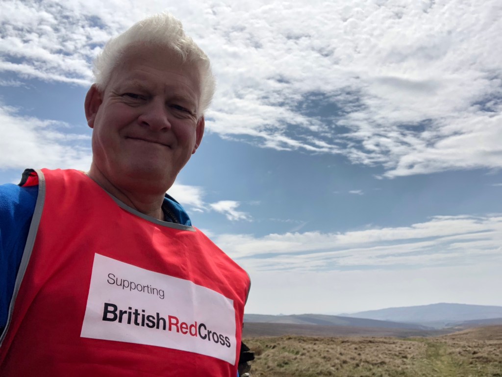
Today’s walk, of around 14 miles, took me towards the western side of the Peak District National Park, starting out from the village of Burbage, just on the edge of the fine spa town of Buxton. Here the three counties of Derbyshire, Cheshire and Staffordshire meet, and my path took me through all three and to the tops of the two latter shires. More sunshine, particularly early on in the day, made for some pleasant walking conditions, notwithstanding a strong south-easterly breeze that blew against me in the middle section of the walk.
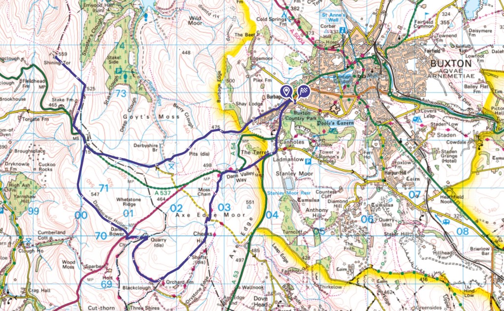
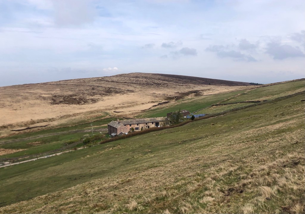
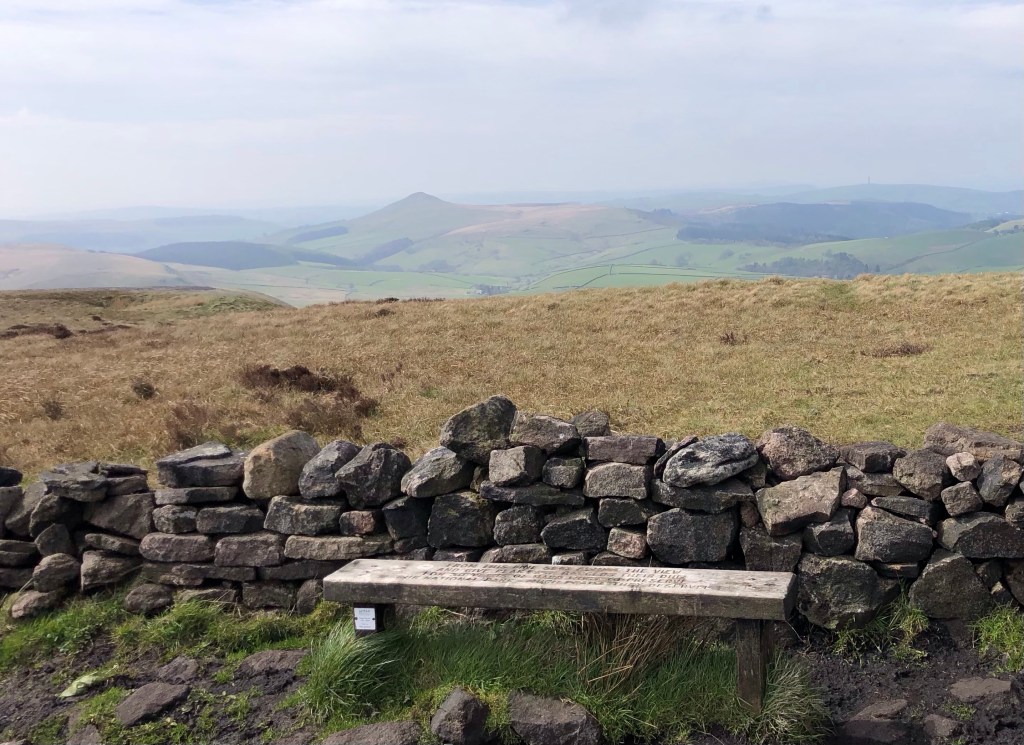
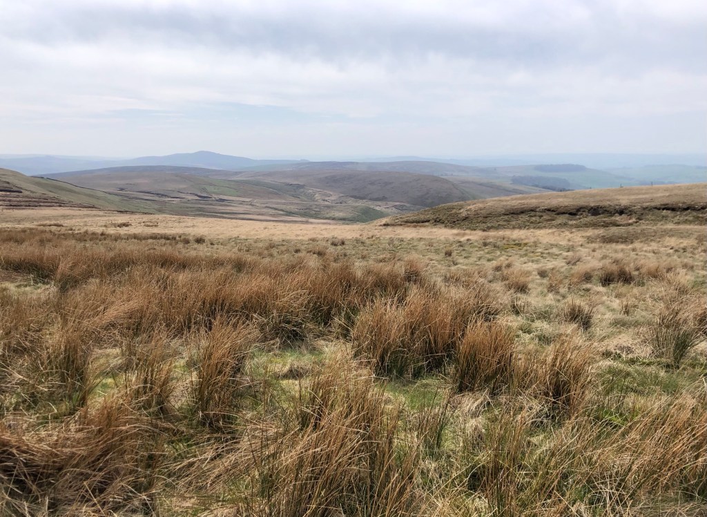
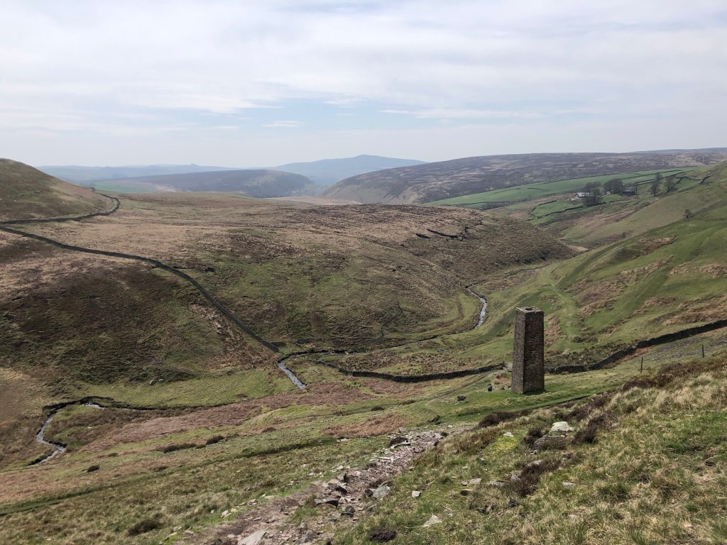
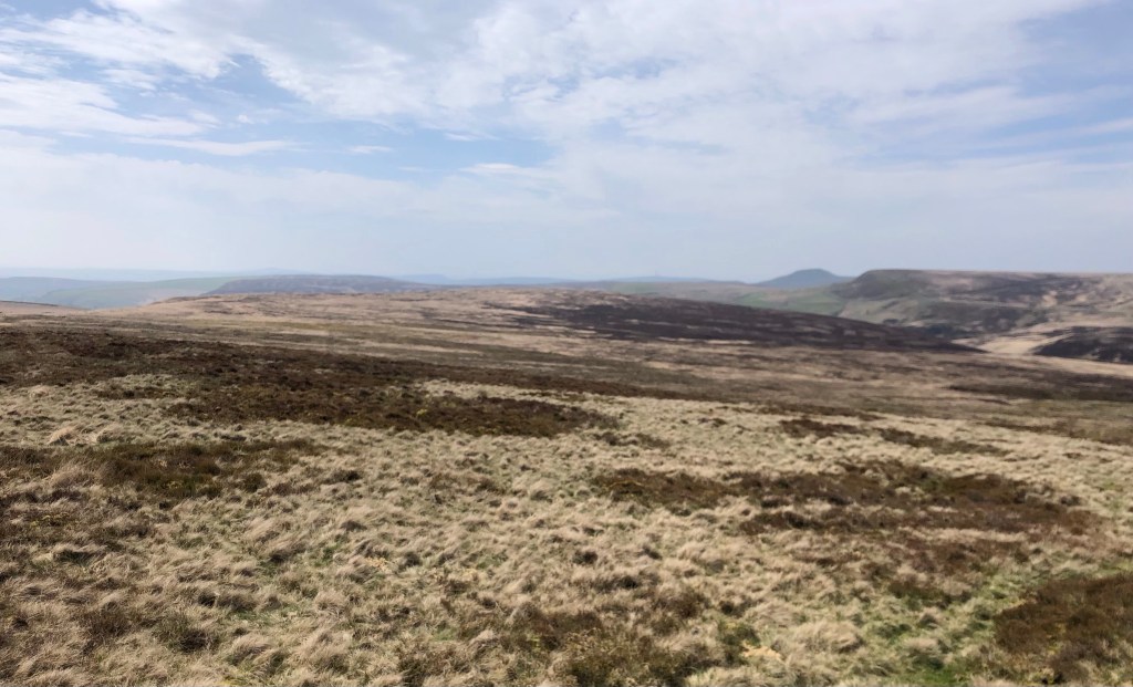
My previous two days of LETJOG Peaks have been spent walking in the northern part of the National Park, in what is known as the Dark Peak area. Dark Peak is a region of Carboniferous limestone that overlies gritstone, the latter being a hard, gritty and dark-coloured rock used in building that in earlier times was also particularly suited for producing millstones. Today my walk took me further to the south and west of the dome that forms the Peak District, to an area where intense folding and faulting in the rocks display a more varied geology. The impact on the topography is noticeable, with more distinct peaks in place of the upland plateaux, whilst open grassland prevails in the place of the peat bogs that characterise the Dark Peaks. Fortunately across the whole Peak District massif accessible coal measures are limited to the fringes only, and so the region has avoided the ravages to the landscape associated with coal mining, retaining a pleasing agricultural character on the lower slopes and valleys between the open moors. This is how my walk progressed:
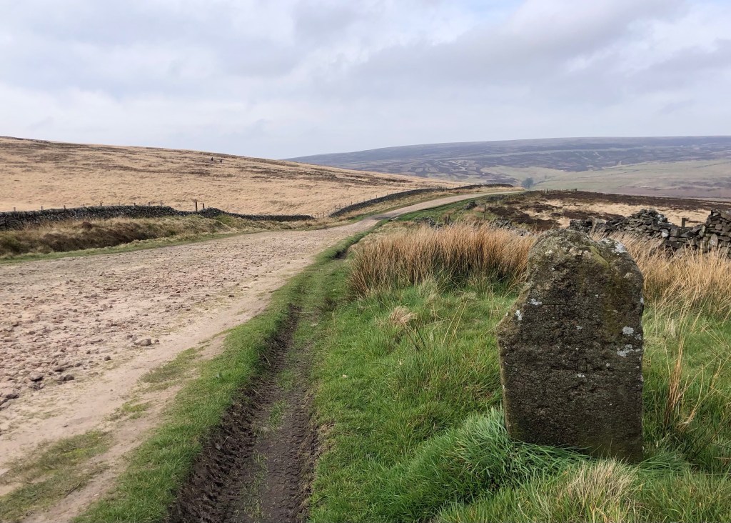

So ended another lovely day walk, bright and breezy, that proved easier than the previous two days due to the more gentle inclines, generally better paths, and the absence of peat bogs! Aside from some dog-walkers close to the main road on the central section, I passed only a handful of other walkers today, mostly around Shining Tor. A good day of LETJOG Peaks on the moors!
‘Morning Sun’, today’s heading, is taken from a song off the 2010 album ‘Reality Killed The Video Star’ by Staffordshire-born-and-raised singer-songwriter Robbie Williams, a number that became the charity single for Sport Relief. The former member of five-piece boy-band Take That rose to fame in the early 1990s before embarking on a hugely successful solo career interspersed more recently with some reunions with his former group. Williams’ Take That bandmate Gary Barlow hails from Cheshire, so on a wetter day I might have gone with the ‘The Flood’, also from 2010, on which the duo share lead vocals.

What a great walk, Nick. One of my favourite areas in this lovely country of ours……so good to see those views again.
LikeLike