
LETJOG PEAK No 19: High Stones, South Yorkshire (548 metres)
Walk Date: Friday 5 May 2023
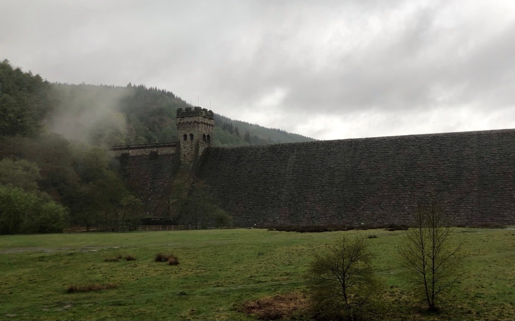
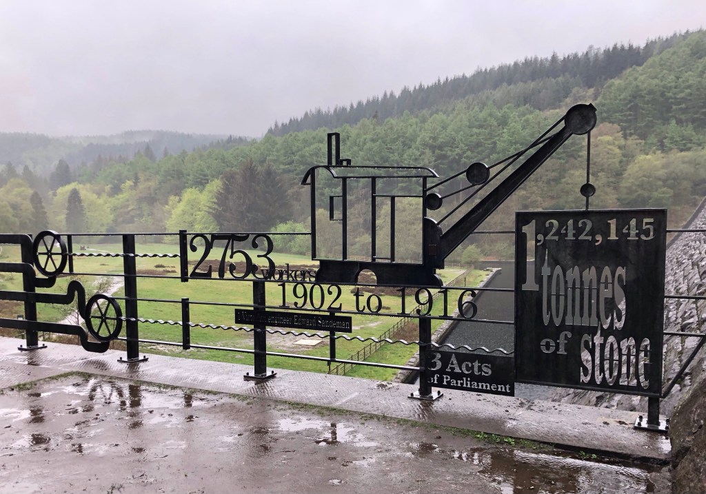
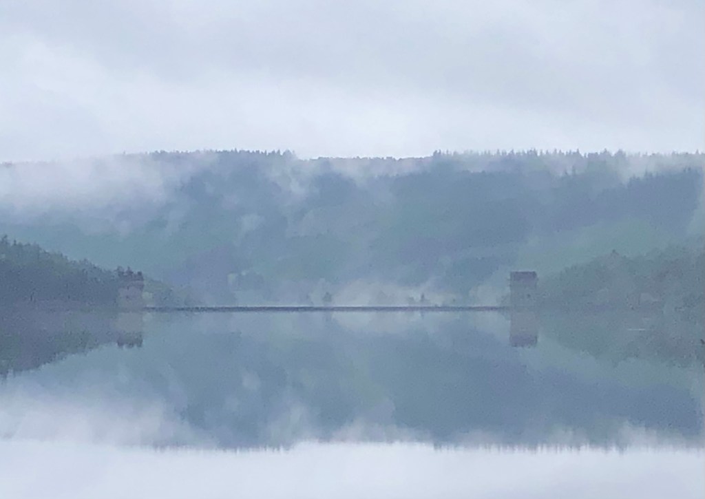
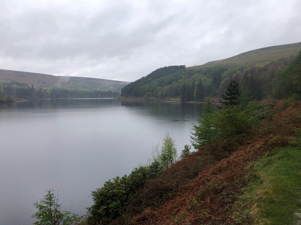
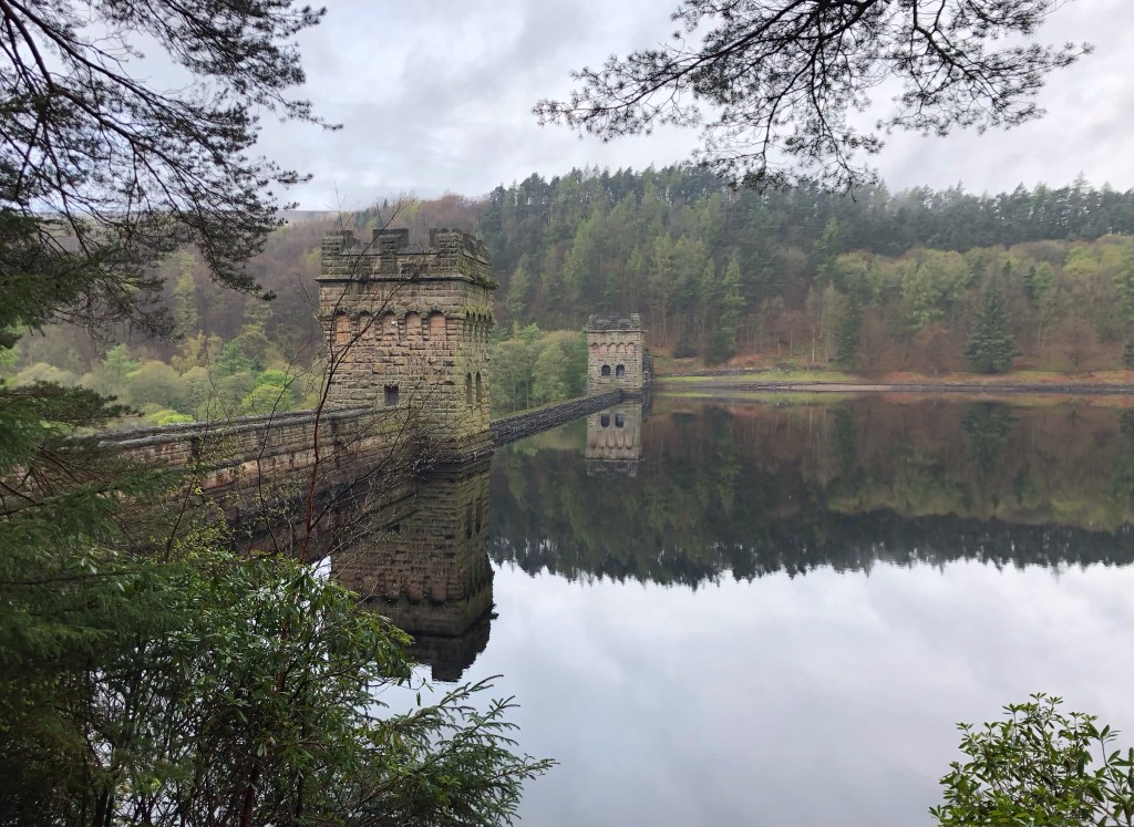
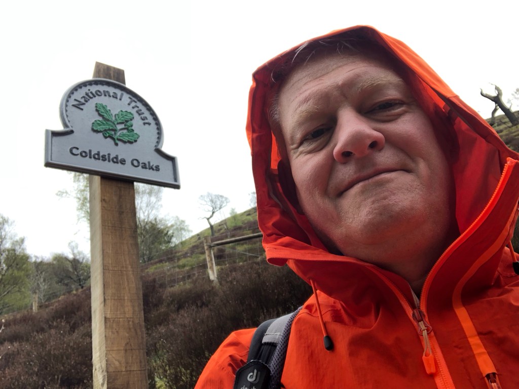
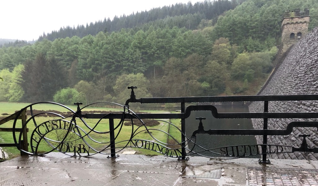
It had to happen sometime over the four days of my LETJOG Peaks escapade to the Peak District, as enjoying a totally dry walking week in this massif would be to miss an integral part of the experience. And so, with a timing exactly to forecast, the rain arrived this morning; repeated showers, light and heavy, as I made the trip up from Hathersage and along the Ladybower Reservoir to begin my day’s walk from the Fairholmes Visitor Centre. Even now luck was not completely against me, as the first few wet miles of my walk held the level lakeside path, enjoying some intermittent tree cover that sheltered me from the worst of the elements – and then the skies cleared just ahead of my climb to the moors.

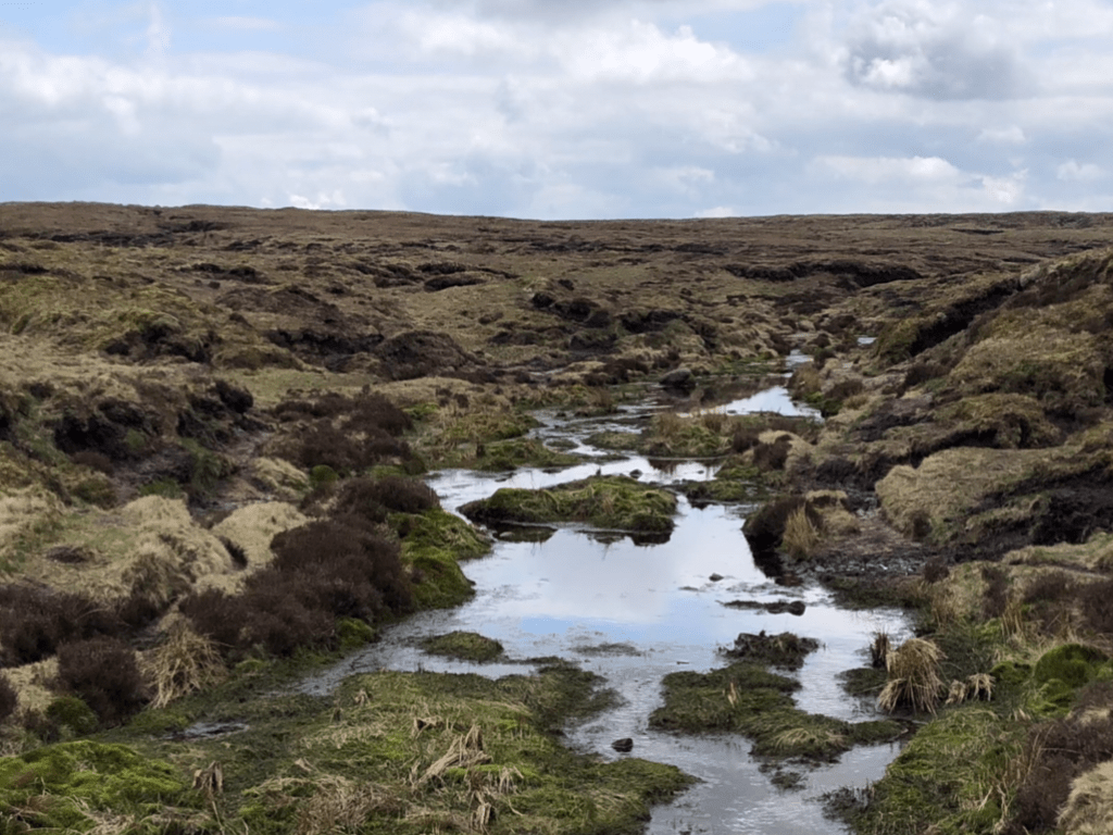
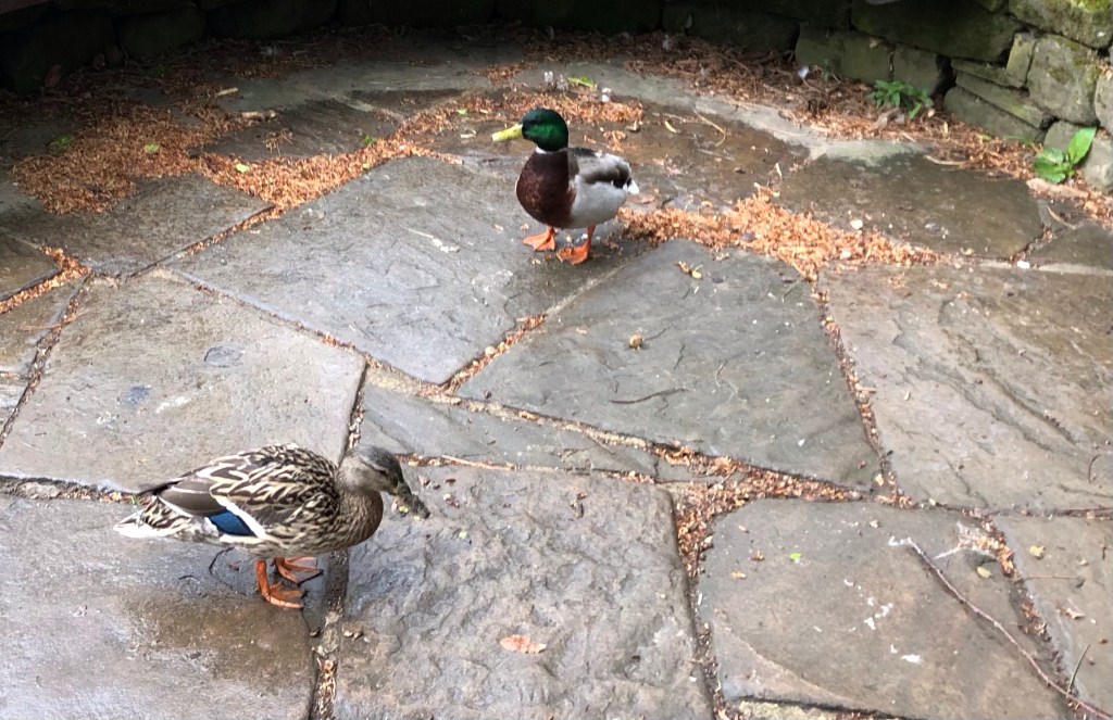
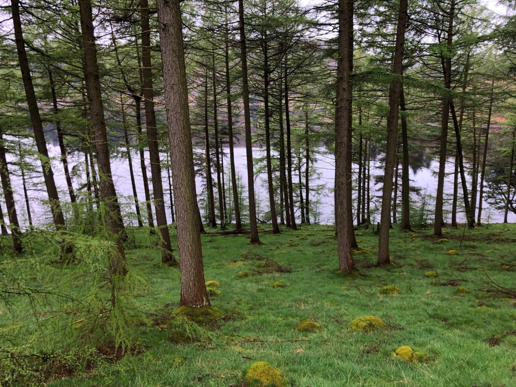
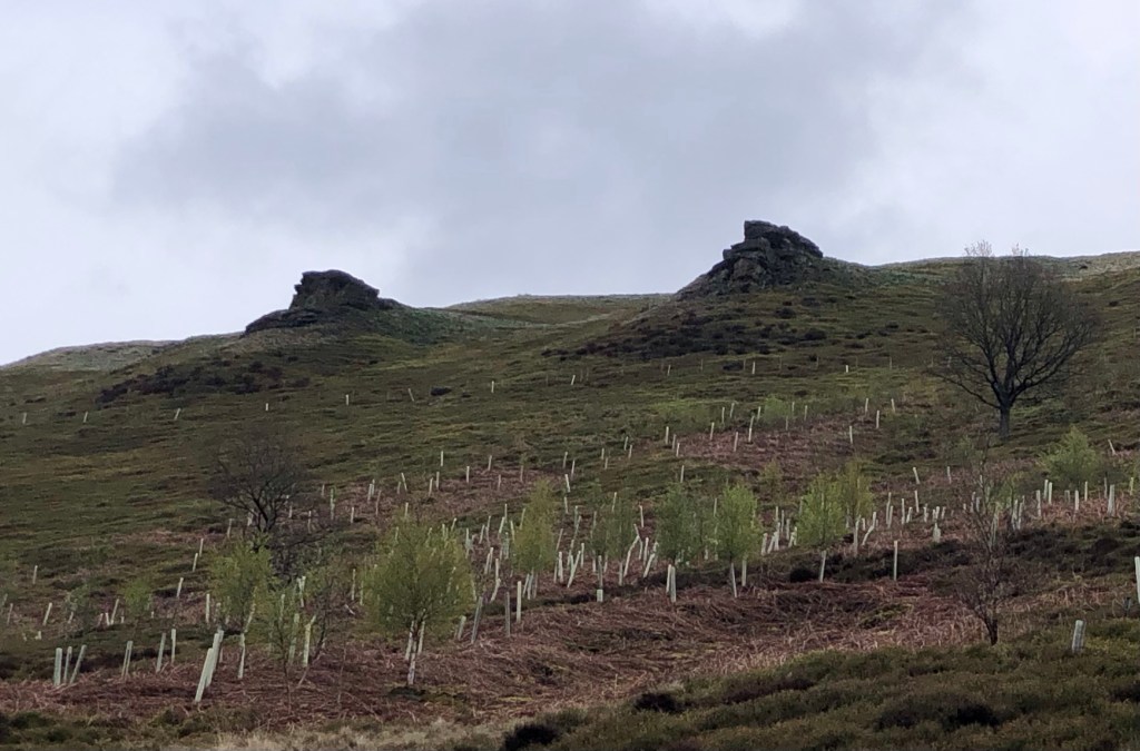
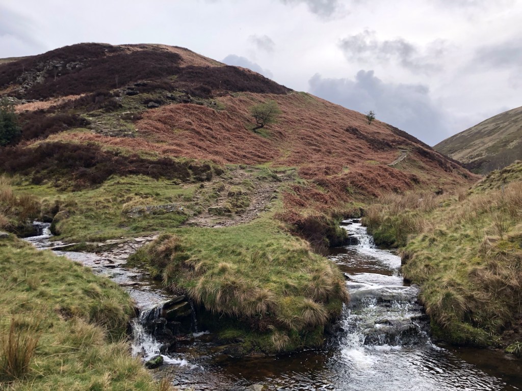
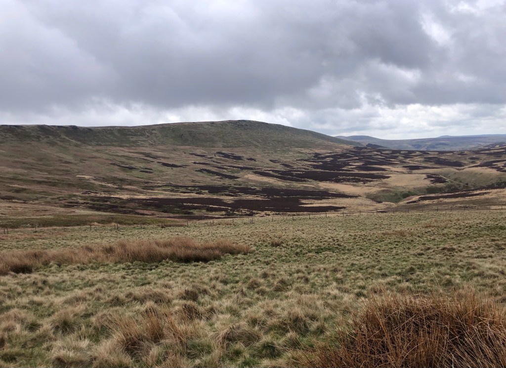
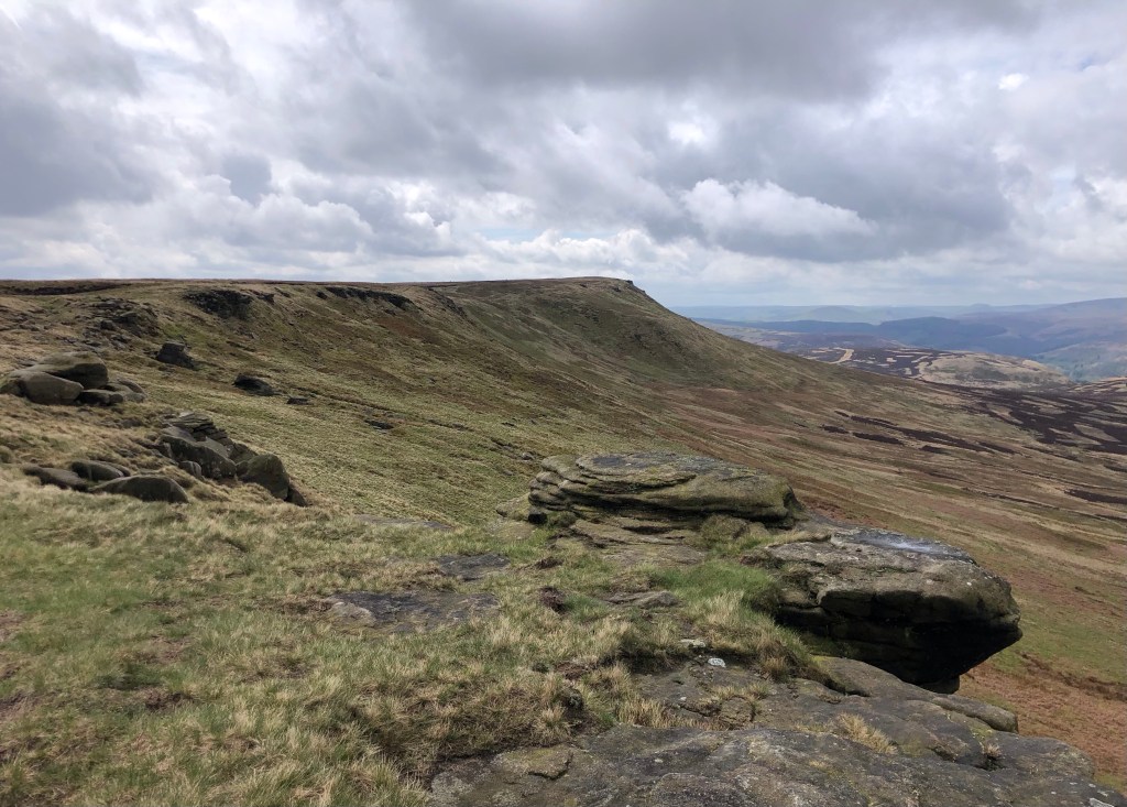
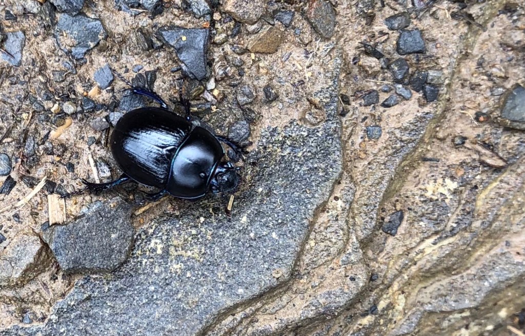
Today marked a return to the moorlands of the Dark Peak area, just a few miles to the north-east of the Kinder Scout plateau that I ascended three days ago. An important difference on today’s walk lay in the Derwent Valley where a chain of the three aforementioned reservoirs fill the vale, precluding roads, settlements and agriculture. The result is a scenic vale left largely to nature, of mixed woodland and verdant vegetation, a haven for wildlife beneath the wildness of the uplands, where waterfowl, ducks, geese and grebes abound, where cuckoos and woodpeckers declaim from the trees, and where red deer graze the glades, whilst insects such as centipedes, beetles and caterpillars seem to revel in the wet conditions. Notwithstanding today’s rain the watersides and the mountain paths of this dale also seem to attract more outdoor enthusiasts than on my rambles elsewhere, adding some colour but perhaps detracting a little from the isolation of the secluded valley.

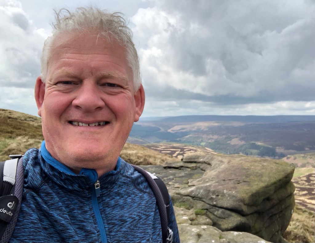


This pleasant ramble, replete with distant views after the early mist and rain showers had cleared, concluded four splendid days of walking in central England’s wonderful Peak District. Resplendent in springtime I have certainly witnessed the valleys and moors at their best; I have met a good few other walkers, and I have enjoyed the good hospitality at my base at The George in Hathersage. Along the way I have scaled six county tops and covered 52 miles on foot with around 2,300 metres of ascent, and I have been rewarded with some fine weather and some wonderful experiences of the region. I have reached a total of 19 summits now in my LETJOG Peaks County Tops challenge – time, I think, to rest up for a few days whilst I plan my next forays.
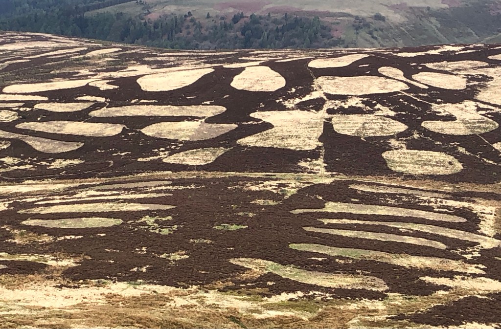
‘Black Treacle’ is a song composed by Alex Turner, frontman of the rock outfit Arctic Monkeys. The band were formed in 2002, in Sheffield – just a few miles over the hills from my walk today across the top of South Yorkshire. The number was released as a single off the group’s 2011 album ‘Suck It And See’, and includes the lyrics ‘Now it’s getting dark and the sky looks sticky, more like black treacle than tar’. In my mind the relevance of adopting the song’s title as my Blog heading lies less in the atmospheric conditions and more as a descriptor of the peat bogs that I have experienced underfoot in the Dark Peak area this week!

We have so enjoyed sharing in your varied walks in the Peak District Nick.
Ron and Pam
LikeLike