LETJOG PEAK No 21: Black Down, West Sussex (280 metres)
Walk Date: Tuesday 16 May 2023
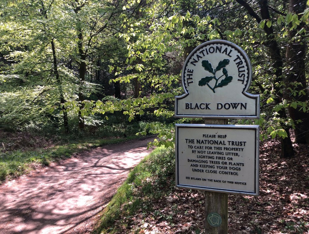
A summit amidst the trees!
Today’s LETJOG Peaks walk took me southward from the Surrey towns of Hindhead and Haslemere and over the border into West Sussex, thence entering England’s most newly-designated national park. Although not part of the chalk ridge that makes up the downs themselves, Black Down, at 280 metres of elevation, marks the high point of the South Downs National Park, and this beautiful area now enjoys the protections that adhere to such status. Instead, geologically, Black Down and the western Weald area of which it is a part, comprise the Greensand Ridge overlying the Weald Clays of the valleys: this geology supports the dense forests that provide the backdrop for most of my walk today, and that contrast so markedly with the open landscapes of the South Downs’ chalk uplands that I experienced a few weeks ago around Ditchling Beacon in East Sussex.
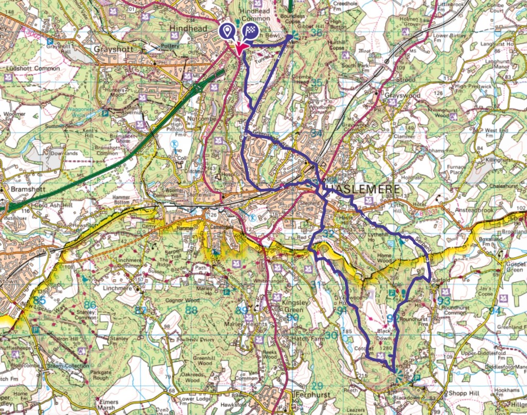
My convoluted ‘figure-of-eight’ walk started from Hindhead, initially heading eastward to Gibbet Hill before turning south through Haslemere and upwards to Black Down, before a return along higher ground back to Haslemere and then to my start point – the yellow line marks the county border and that of the South Downs National Park
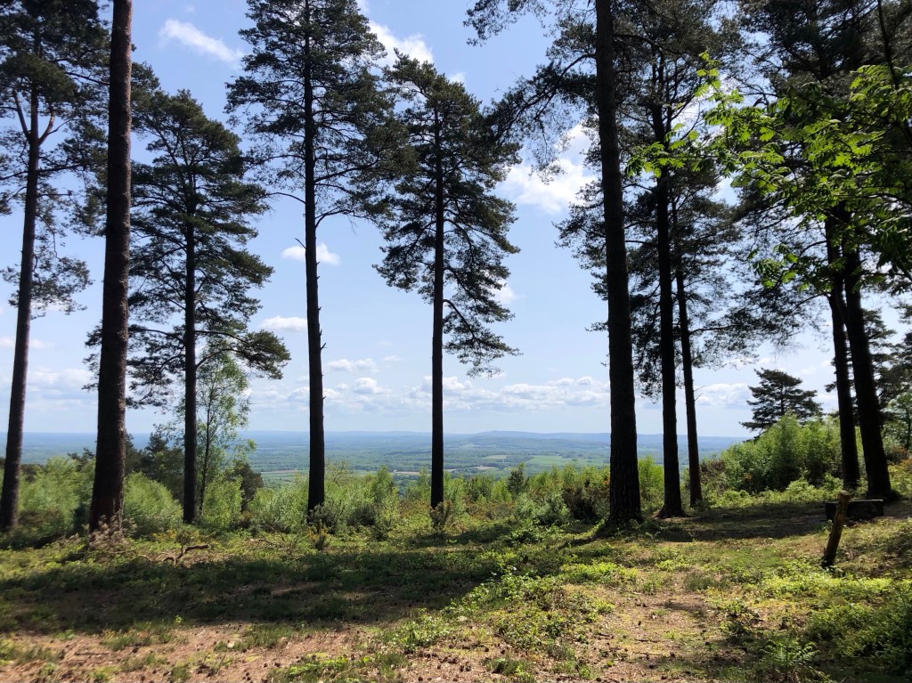
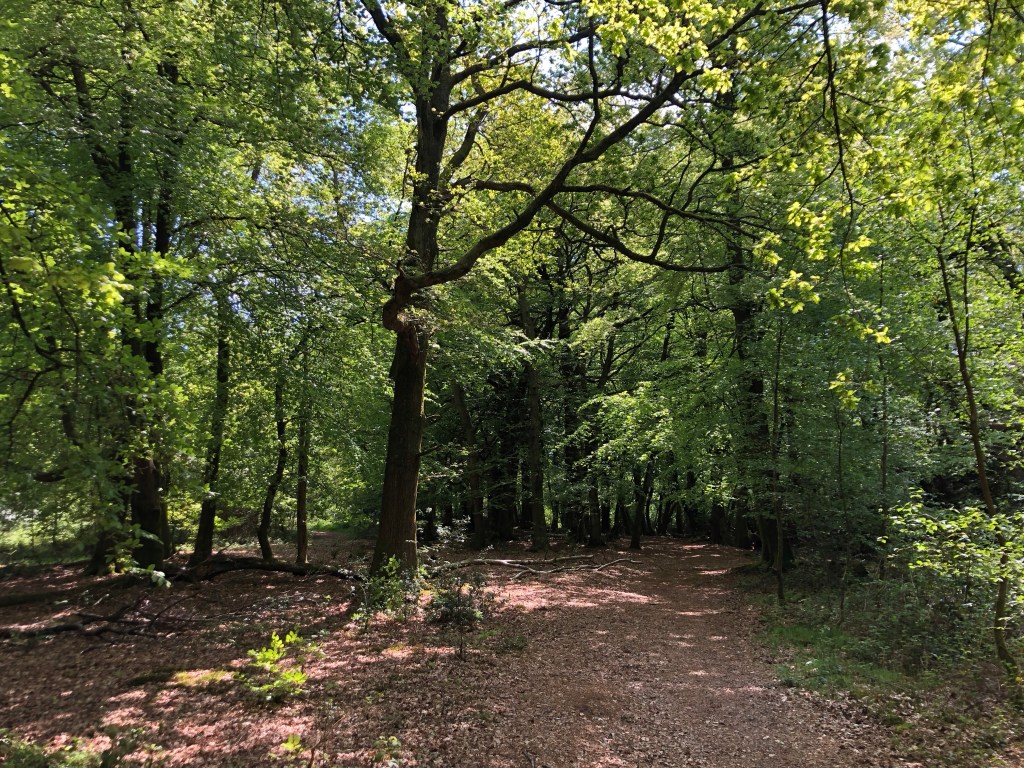
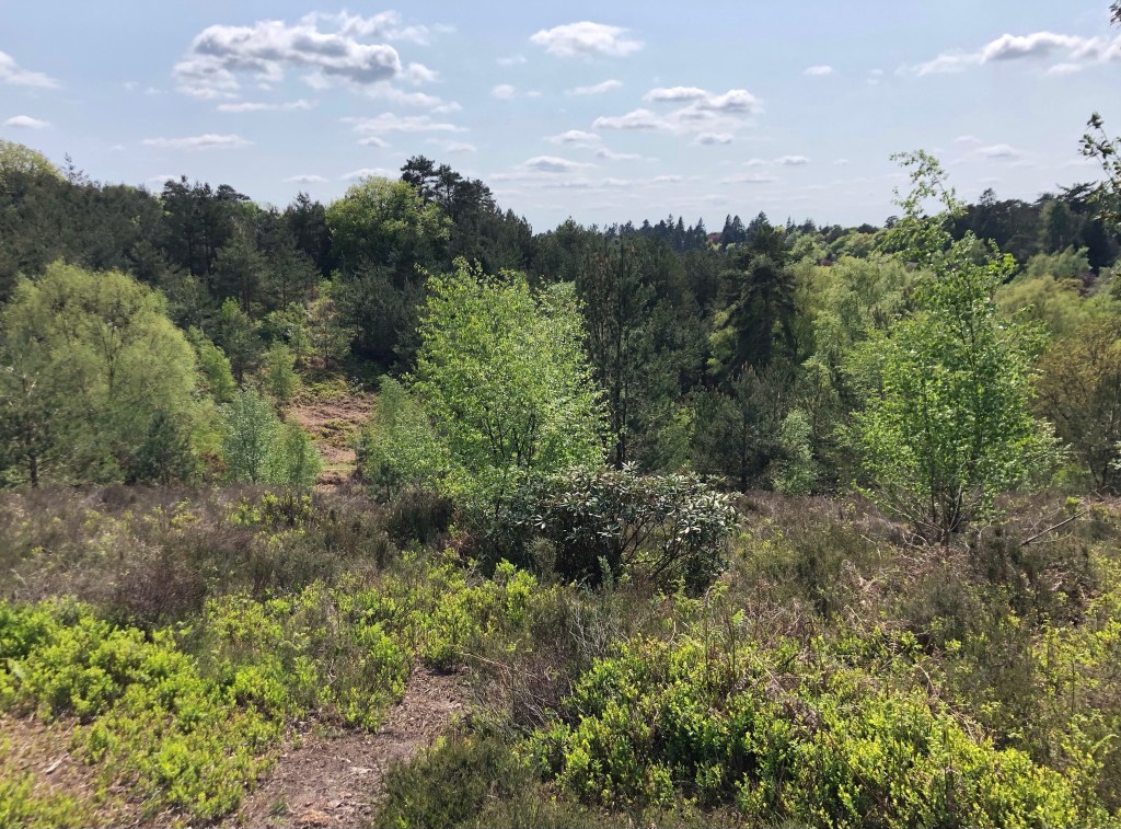
I had the advantage this morning of starting my walk high up, at around 250 metres of elevation, and by skipping breakfast (at least until I reached Haslemere) I was on the trail early, enjoying the cool air and the views over the Devil’s Punchbowl and from nearby Gibbet Hill in relative solitude. From the top my path then reunited with the Greensand Way, the path that I had touched upon (many miles away) near Dorking yesterday, before picking up the Serpent Trail from Haslemere all the way up to Black Down. Taking in just a few fields and pastures, the vast majority of this walk outside of the towns was within woodland, ranging through deciduous forests of oak, beech, birch and ash through stands of Scot’s pine and of conifers. In parts the trees mingled into areas of mixed woodland, carpeted with a blend of pine needles and last autumn’s golden leaves. This invigorating ramble through the woods was defined throughout by springtime freshness and dappled sunshine, and I have plenty of photos of the wonderful scenery to share:
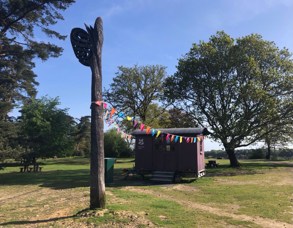
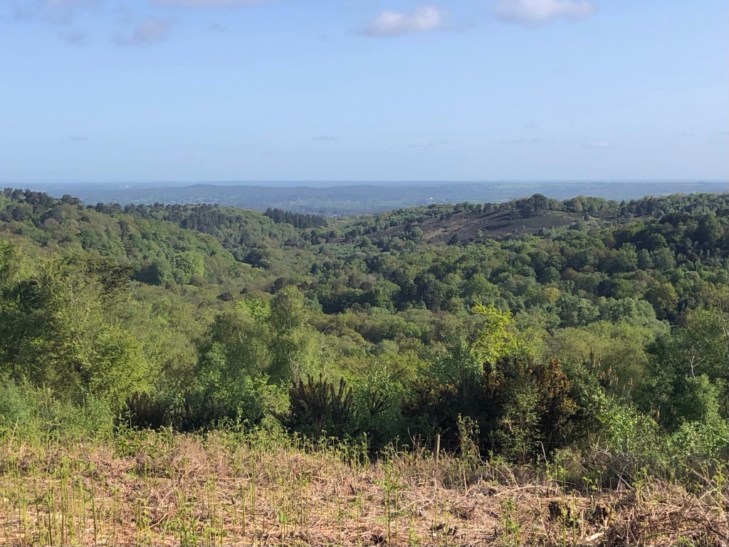
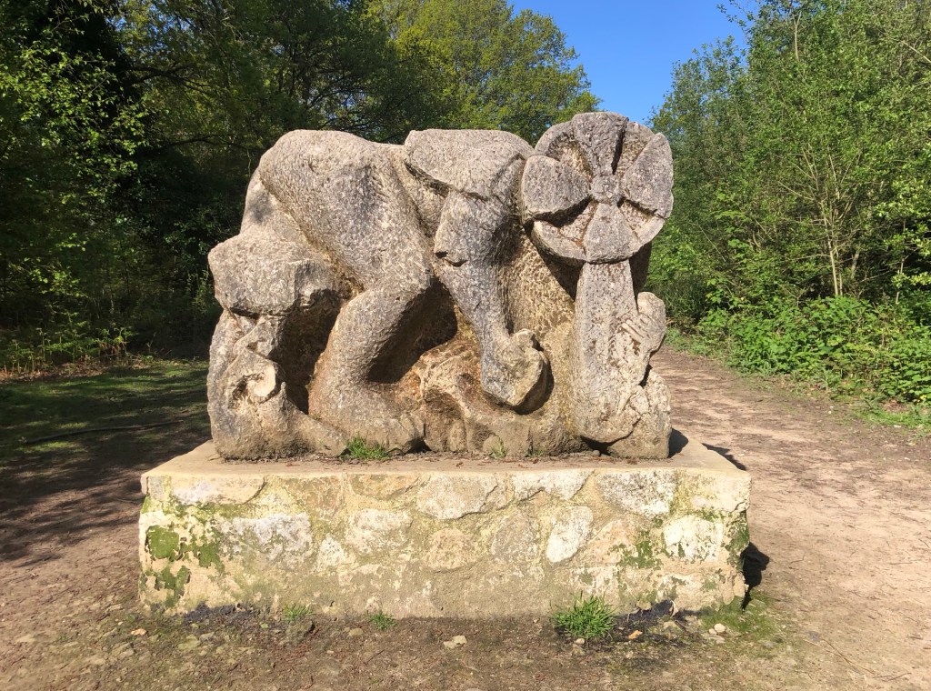
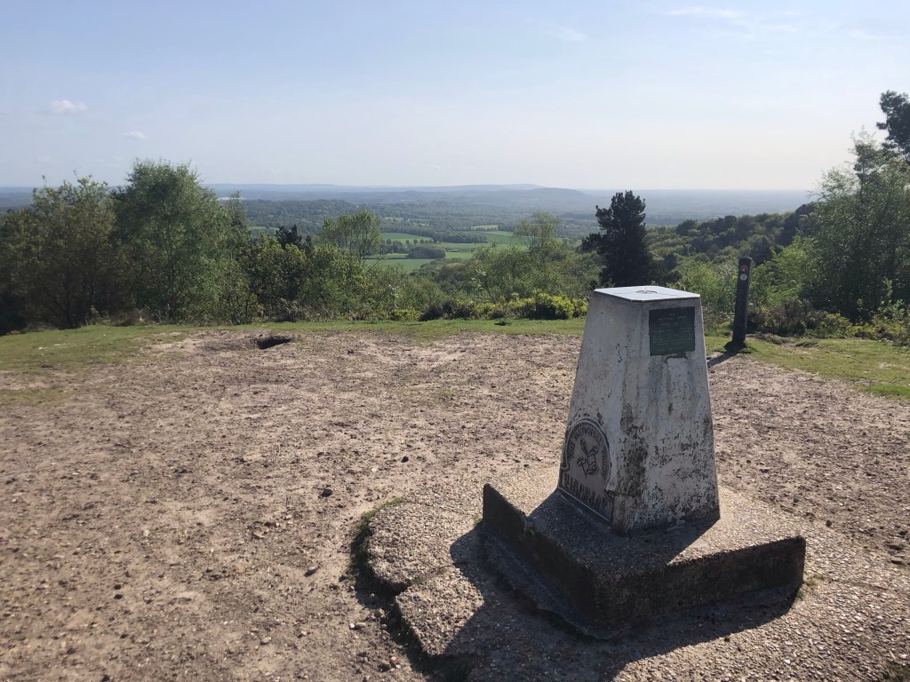
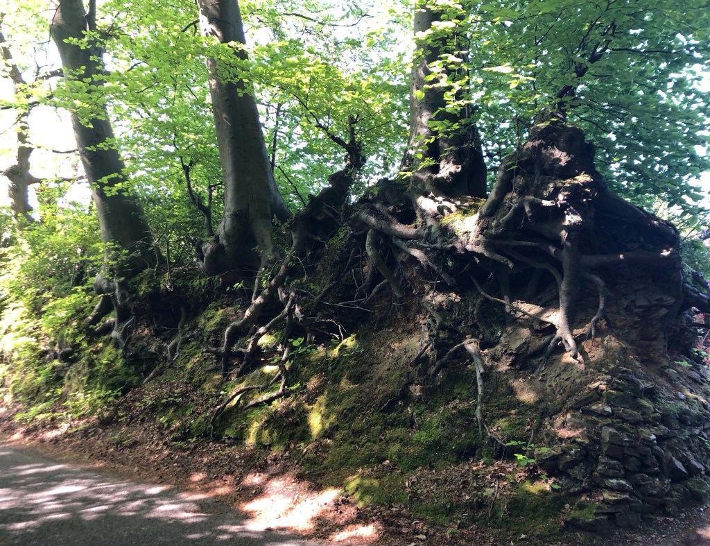
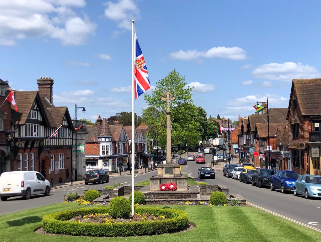
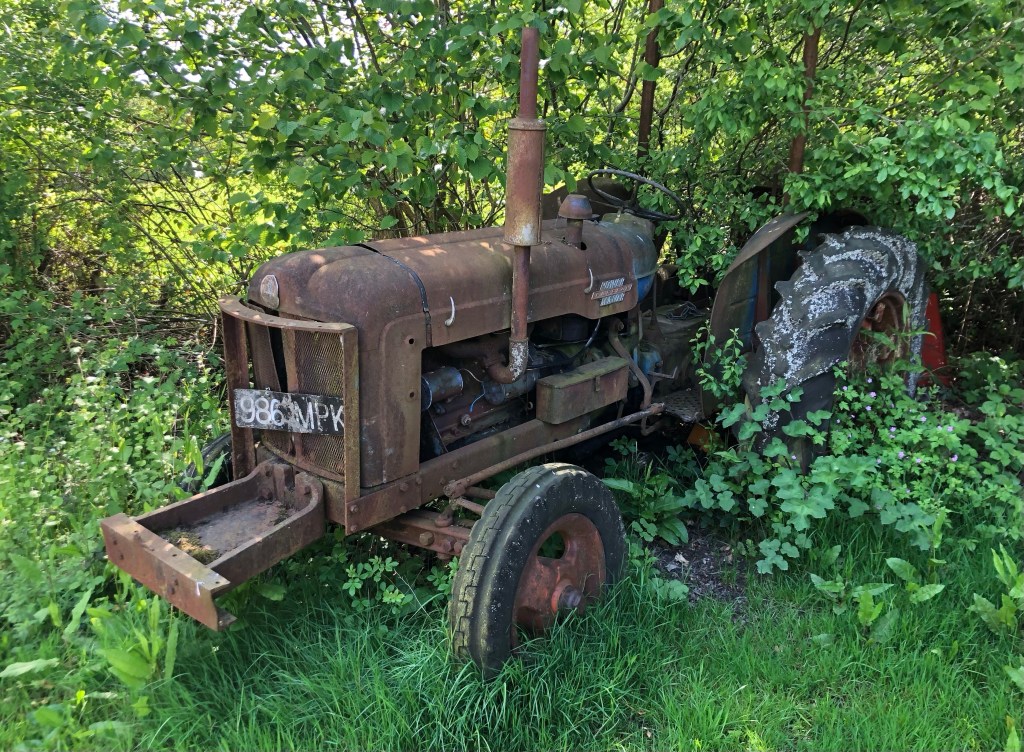
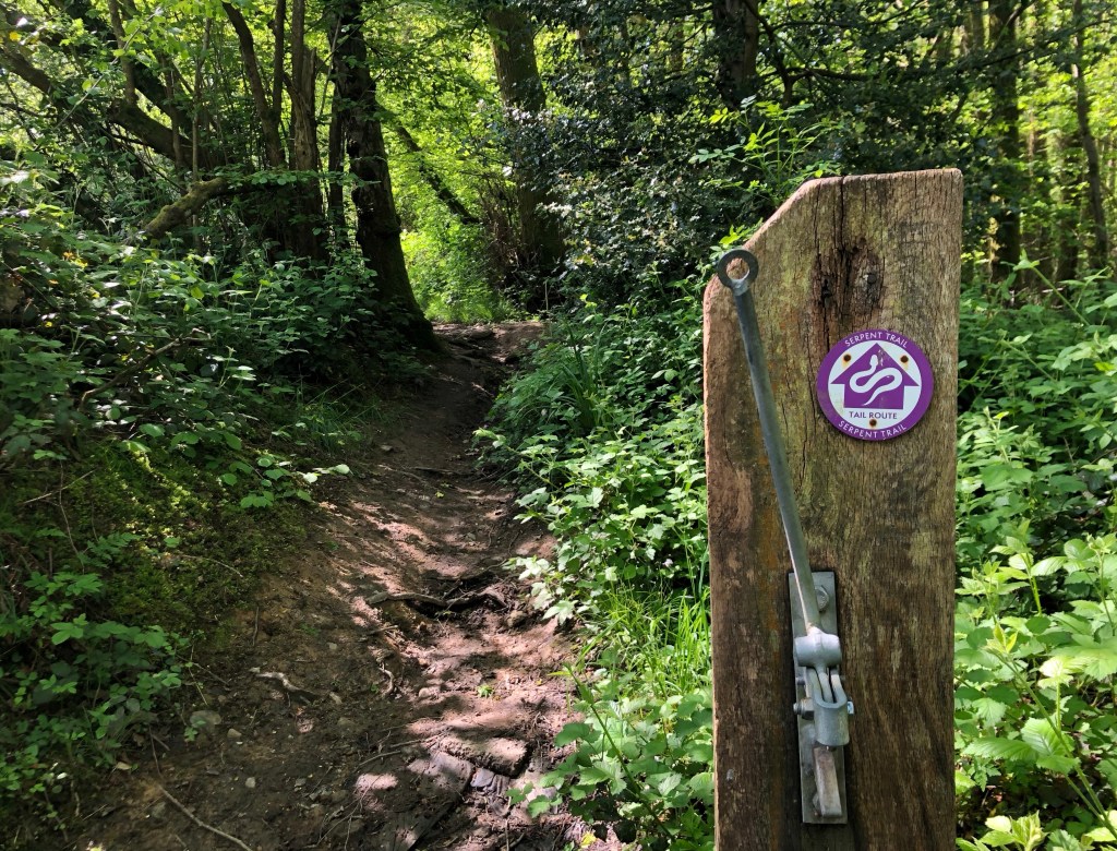
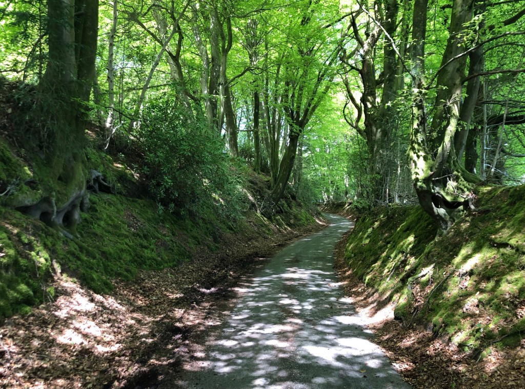
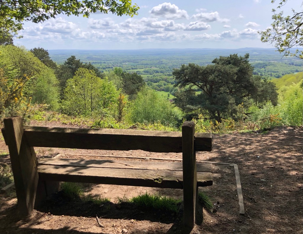
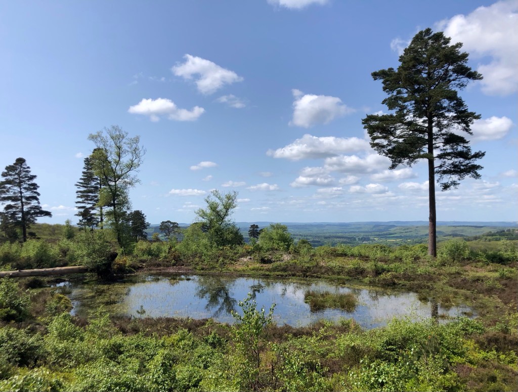
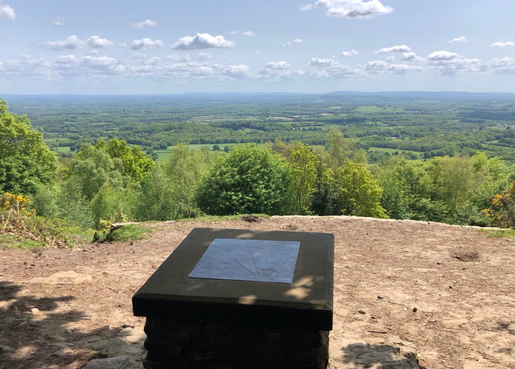
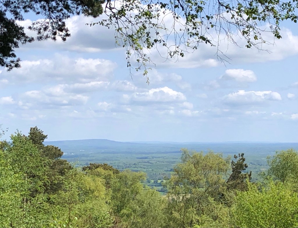
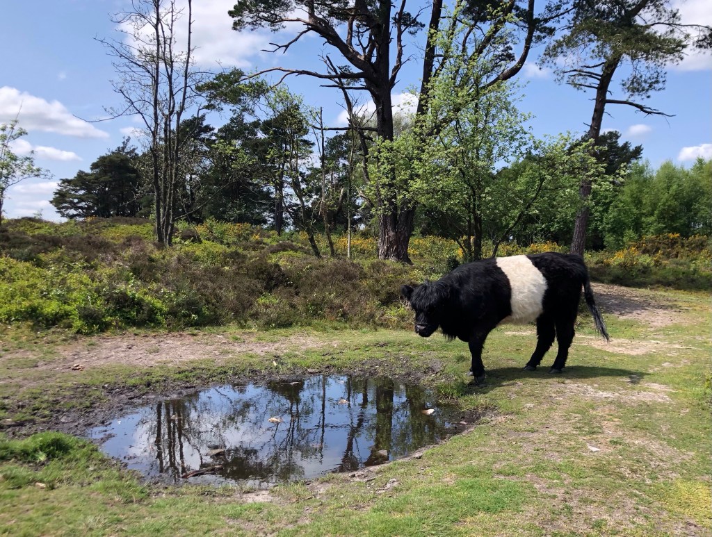
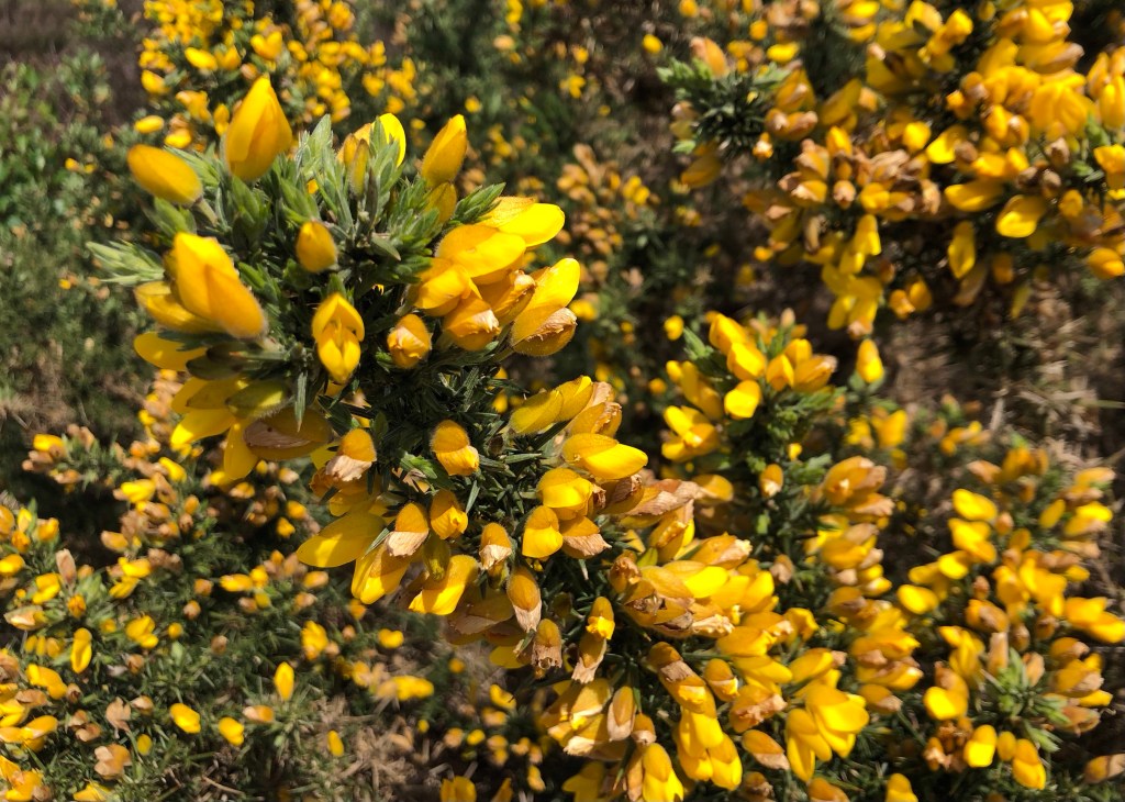
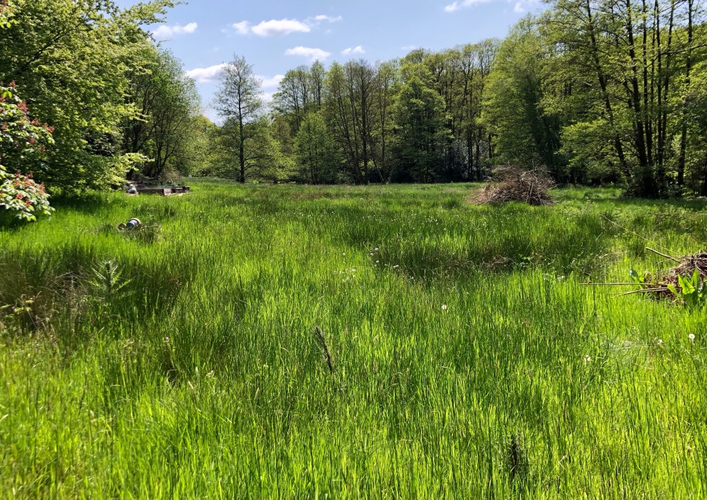
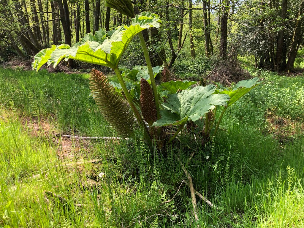
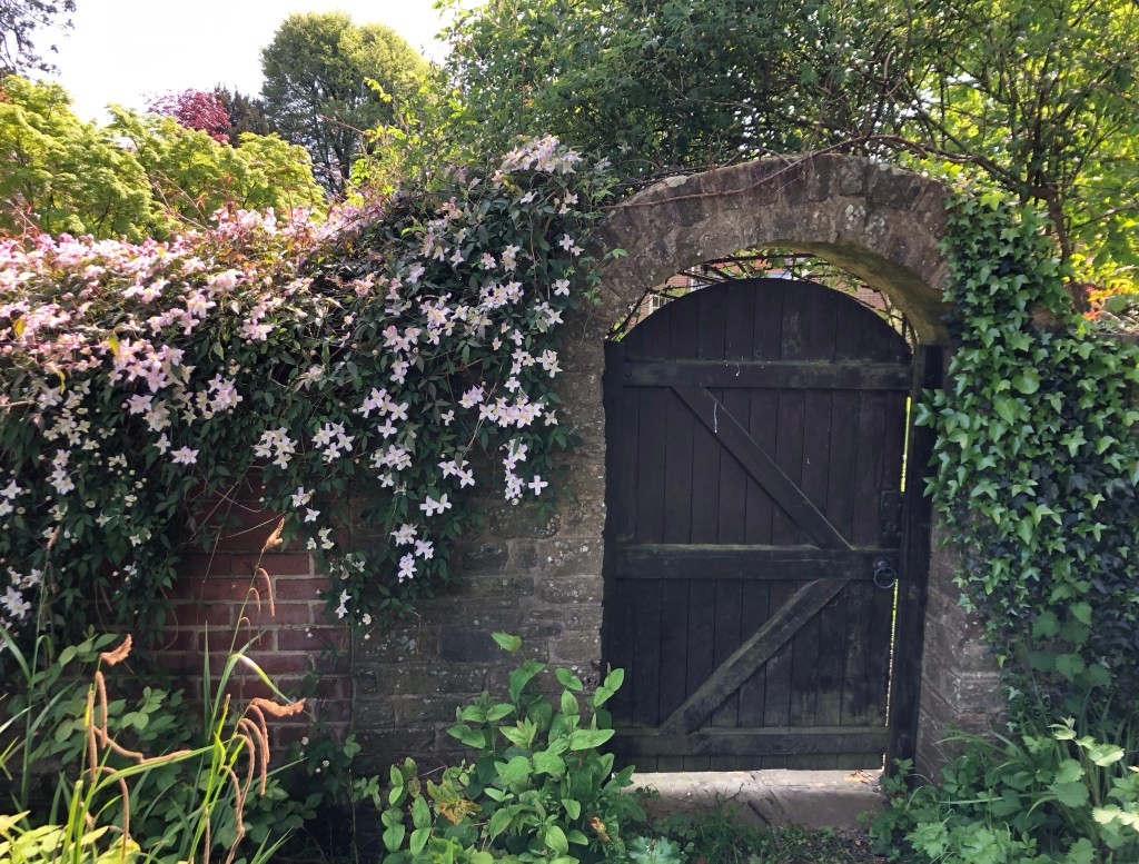
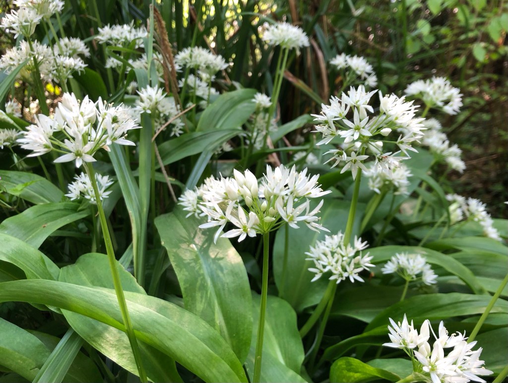
Unusually, instead of starting out uphill, my walk today began on a hill top, from the hotel close to this National Trust kiosk on the rim of the Devil’s Punchbowl at HindheadThe view northwards over the Devil’s Punchbowl – local legend has it that the valley was created when Thor, the god of thunder and lightning, scooped up a huge handful of earth to hurl at the Devil, who had been tormenting him by jumping around the nearby hilltopsThis portal sculpture by Jon Edgar on the common above the Devil’s Punchbowl is sited immediately over the Hindhead tunnel – the latter was built through the rock beneath and opened in 2011 to take the traffic of the busy A3 dual carriageway My first trig point today, Gibbet Hill, sits at 272 metres, only slightly short of my high point for the day on Black Down: the hill’s name follows the hanging here, in 1786, of three highwaymen who were apprehended shortly after killing a passing sailor of unknown name and robbing him of the golden guinea that he had earned from his last sea voyagePrecariously-rooted beeches on my way down into Haslemere . . .. . . a pleasant town that was granted its market charter in the early 1200sWithin the hedgerow this rusty tractor marks the pathFor several miles I followed the Serpent Trail, a path that certainly lives up to its name as it snakes through the woodlands up to and around Black DownAs invasive species go the worst culprit in these parts seems to be rhododendron, but I was surprised to come across some stands of bamboo, ‘escaped’ presumably from one of the local estatesA shady section of the trail along a sunken roadGetting closer to the top now and some great views to the east; with no breeze this place enjoyed complete silence aside from the birdsong of the woods – a most calming place for a water stop and a few minutes of contemplationA pond on the brow of the common . . .. . . just metres from the trig point that marks the top of Black Down – off the beaten track and within the trees, the OS App proved vital in finding my 21st County Top!A short hike through the trees brought me to the edge of the common for some more stunning vistasFrom this isolated viewpoint, known as ‘The Temple of the Winds’, views extend south-eastwards to the South Downs, right down as far as Lewes (according to the engraved plaque) . . .. . . whilst to the north-east a glimpse of Leith Hill, my summit of yesterday, just 16 miles distant as the crow fliesA solitary Belted Galloway cow on the high ground . . .. . . and gorse in full bloomDenser woodland again on the way down, where twice, fleetingly, fallow deer scattered upon my approach . . .. . . then into the water-meadows of Valewood . . .. . . home to some giant gunnera plantsOn my way back through Haslemere, an enticing gateway . . .. . . and wild garlic near the spring in Coombswell Copse . . .. . . before a final vista, on my climb back up to Hindhead
So ends two glorious days of spring walking in the Surrey Hills and in the South Downs National Park; 29 miles and over a thousand metres of cumulative ascent over these two fine walks. My two peaks, Leith Hill and Black Down, with a respective prominence of 246 and 191 metres over their surroundings both qualify as a ‘Marilyn’, and accordingly they offer outstanding views, particularly southwards over The Weald. As for their environs, perhaps it is the human scale of the topography, and of their woodlands, providing new vistas and surprises at every turn, that give this region such unique beauty. Certainly this is a part of the country that I intend to visit again shortly – once my LETJOG Peaks walks are completed of course.
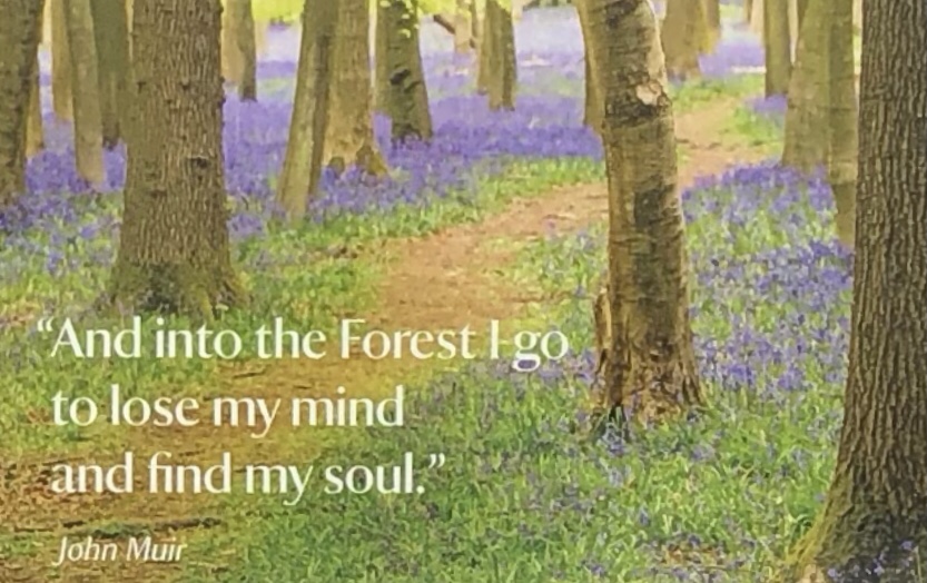
This photo was taken from an information board in the woods – wise words from John Muir, the ‘Father of the National Parks’, whose Way I followed for a short stretch, two years ago in Scotland
For my musical inspiration today I have looked to the West Sussex post-punk goth rock group, The Cure. After releasing their debut album in 1979 this Crawley-based outfit, fronted by lead singer, guitarist and primary songwriter Robert Smith, first hit the UK charts the following year with the song ‘A Forest’ from their second album ‘Seventeen Seconds’. Smith, who co-wrote the song, hails it as ‘really atmospheric’ and ‘the archetypal Cure sound’, all of which makes the title an appropriate heading for today’s Blog.
Back home in Berkhamsted for the evening I enjoyed Breabach, this five-piece gaelic folk band from the other end of Great Britain – thanks to my friend Hamish and his ‘Berkhamsted Campaign for Real Music’ we have high quality folk musicians visiting our small town on a regular basis!


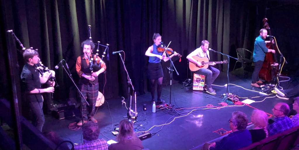

Yay!!! And weren’t Breabach fantastic!!!
LikeLike
What a beautiful area for walking and you captured its beauty in the photos. I enjoyed looking at them!
LikeLike