LETJOG PEAK No 22: (Eastern slope of) Dundry Hill, Bristol (160 metres)
Walk Date: Monday 22 May 2023

Outside of London the city of Bristol, as an entity in itself, is unique in holding ‘Ceremonial County’ status. A product of the 1997 Lieutenancies Act, the built-up area was separated from its environs, comprising the short-lived shire of Avon that had come into being just 23 years earlier following the 1972 Local Government Act, to become a new standalone county, with the remaining parts of Avon being subsumed into neighbouring Gloucestershire and Somerset. The resultant County of Bristol differs from the six metropolitan counties of West Midlands, Merseyside, Greater Manchester, South and West Yorkshire and Tyne & Wear, in that the latter each embrace significant hinterland along with their respective urban areas. As a result all have County Tops on the higher ground outside of the built-up areas, whilst Bristol’s peak, as we shall see, lies just above the city limits on the slopes to the south.
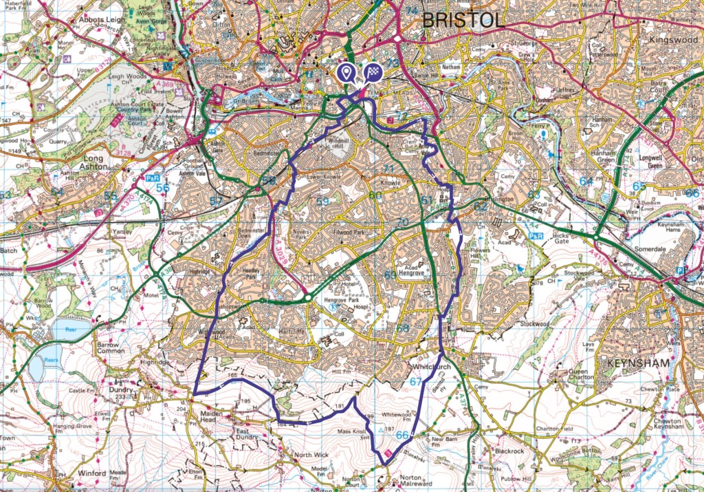
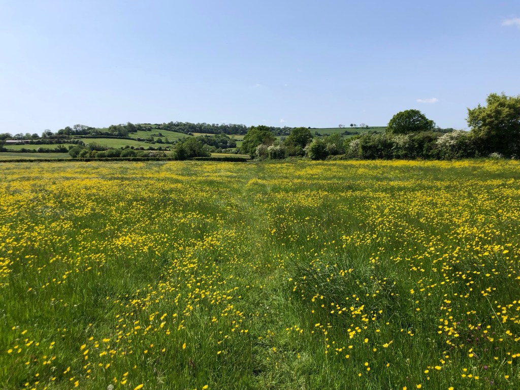
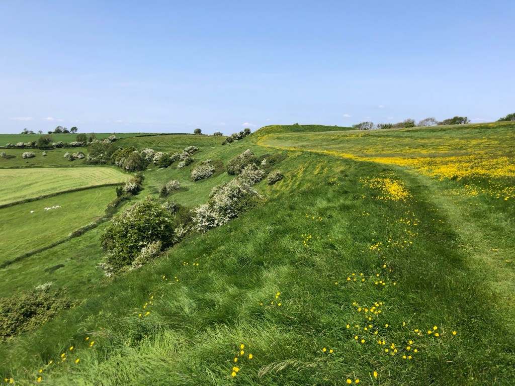
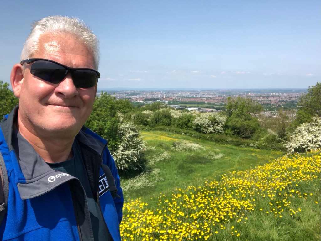
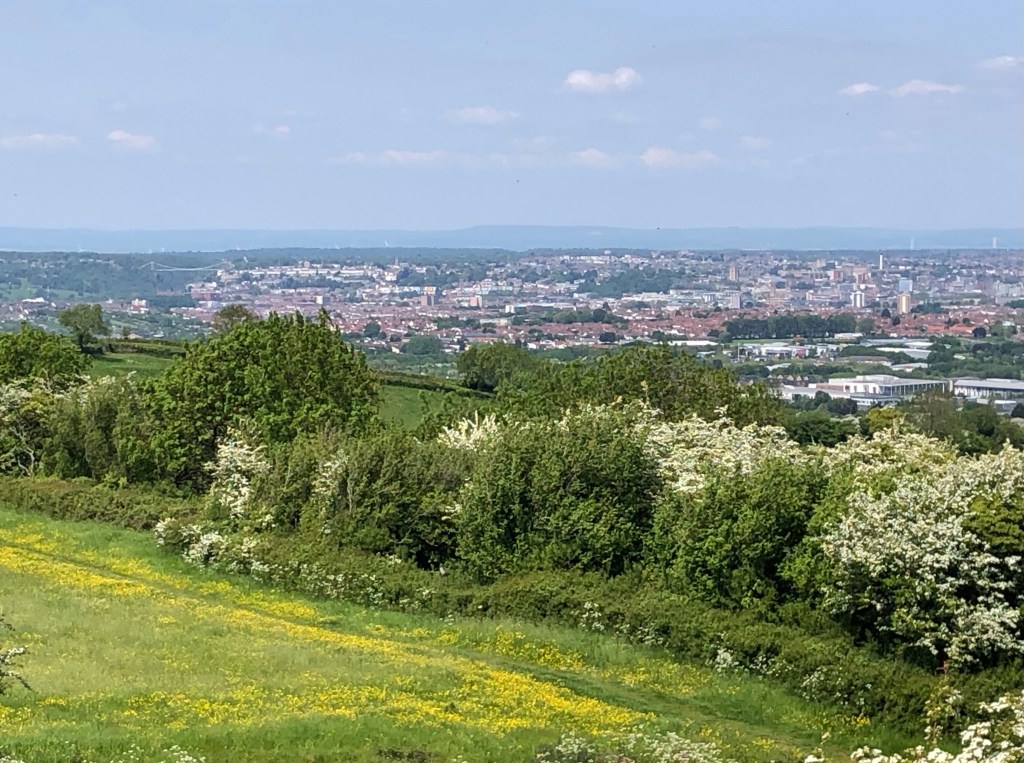
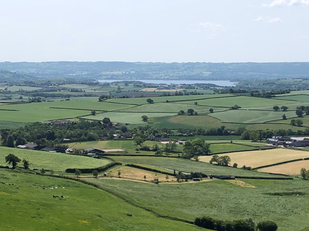
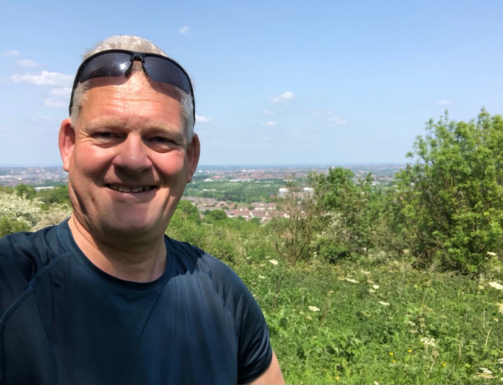
My high point today of 199 metres, reached via a surprisingly steep climb from the south, was Maes Knoll over the border into Somerset. This summit proved to be quite remarkable, enjoying some marvellous views south over the fields of the Chew Valley and north-westwards back over Bristol to the hills beyond. It also provided a most scenic lunch-stop. Conversely, finding the County Top of Bristol, somewhat lower at 160 metres of elevation, as I descended the ridge, proved greatly more problematic, as where the county summit actually lies appears completely uncertain. My prior research revealed the position of Bristol’s apex to be some seemingly arbitrary point on the hillside within the fields to the east of another Somerset peak, Dundry Hill (217 metres), at a place no doubt of great administrative significance, but of topographic irrelevance. Whether I correctly solved this locational riddle is difficult to be sure of, but I did my best to get the customary photo as close to the peak of the county as I could access.
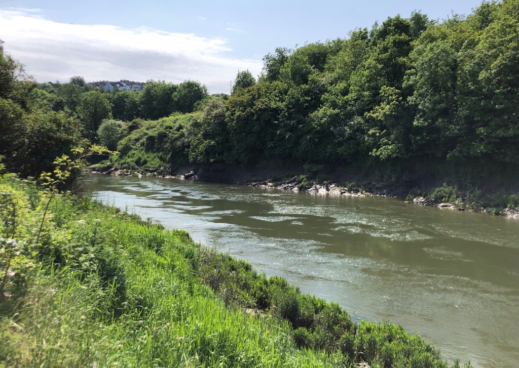
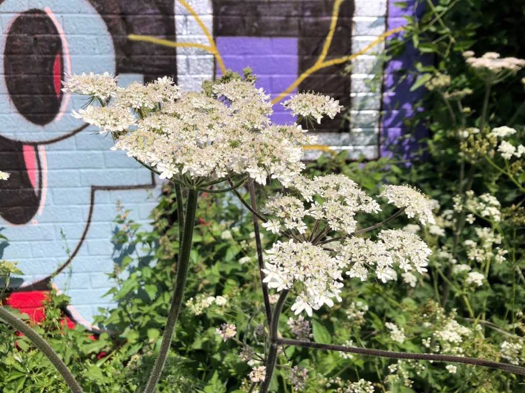
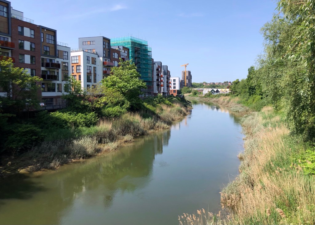
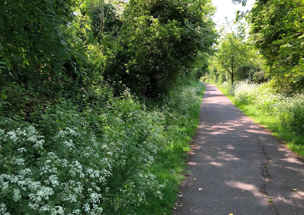
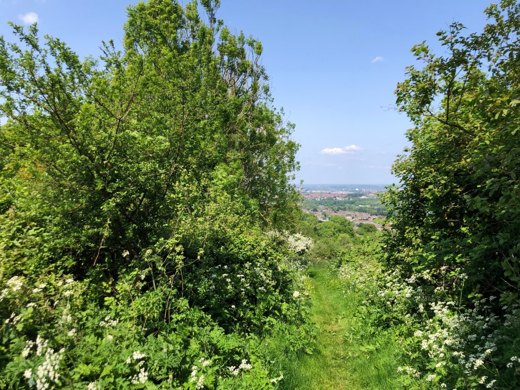
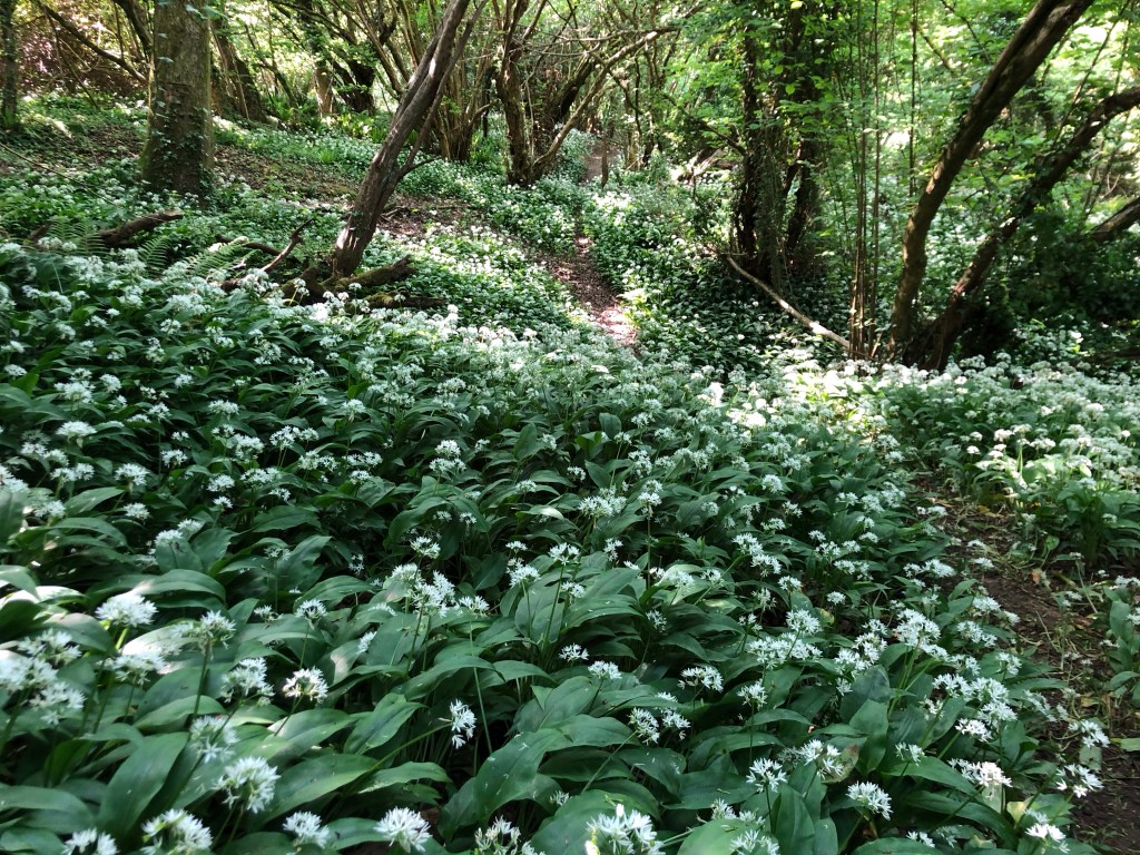
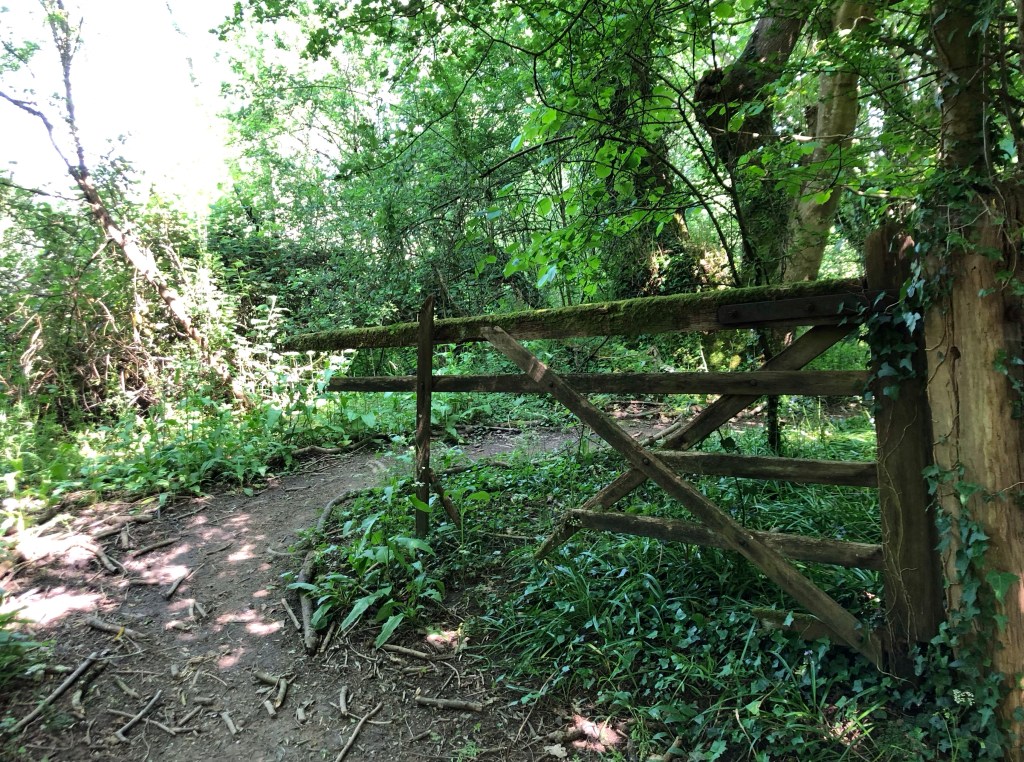
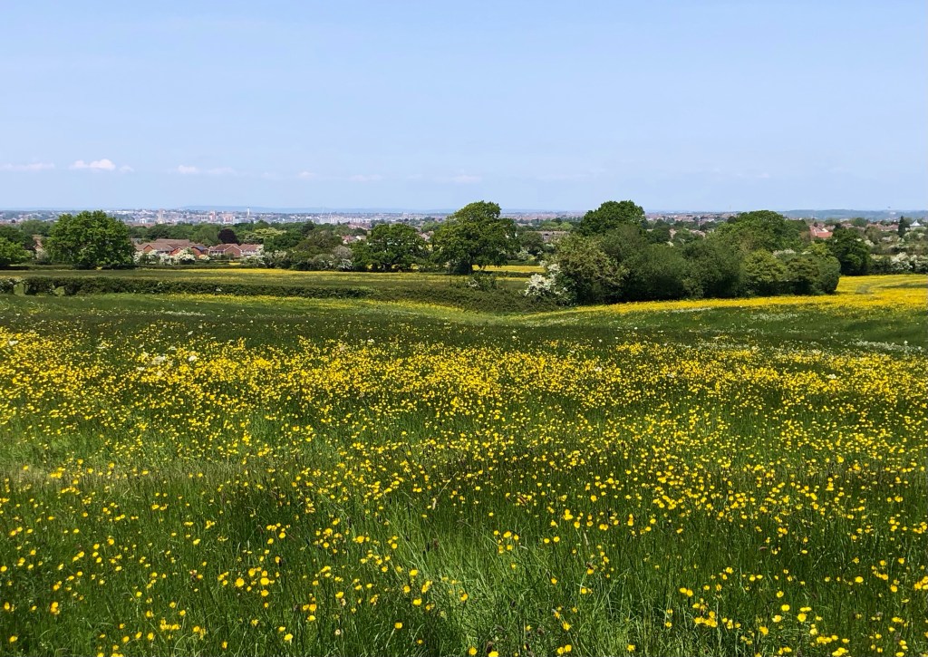
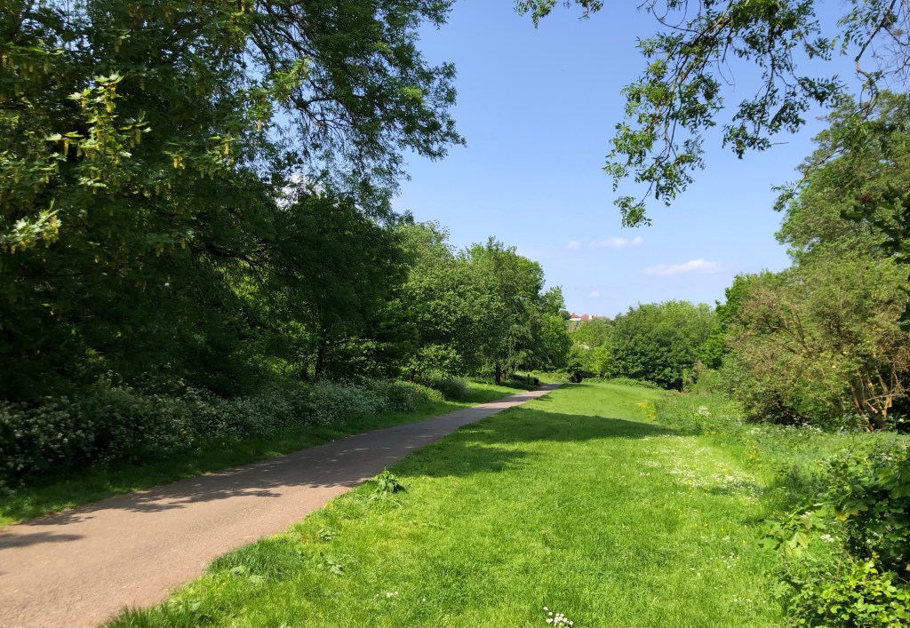
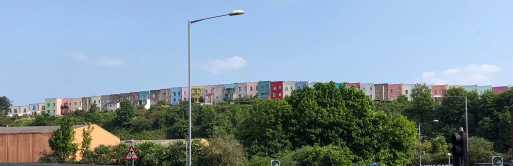
By its very nature my walk today, of around 16 miles and with just under 400 metres of cumulative climb, took a predominantly suburban route for its first and final thirds, although even these sectors proved remarkably green, taking in a riverside path, some parkland, a former railway line, several wooded sectors and an urban ‘greenway’ all in amongst busy suburbia. I have come to know Bristol quite well over the years, both socially and professionally, and what a great pleasure it has been today, as part of my LETJOG Peaks challenge, to discover a few of the city’s hidden corners. All in all today has been a most interesting walk, and with plenty of sights to share.

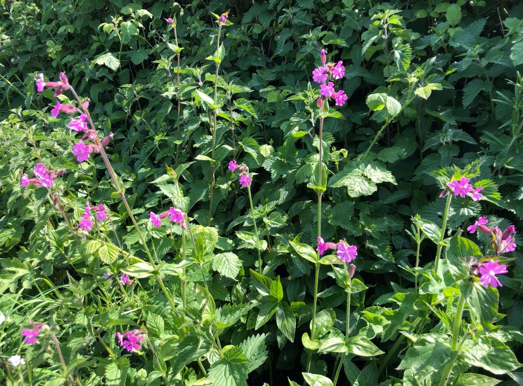
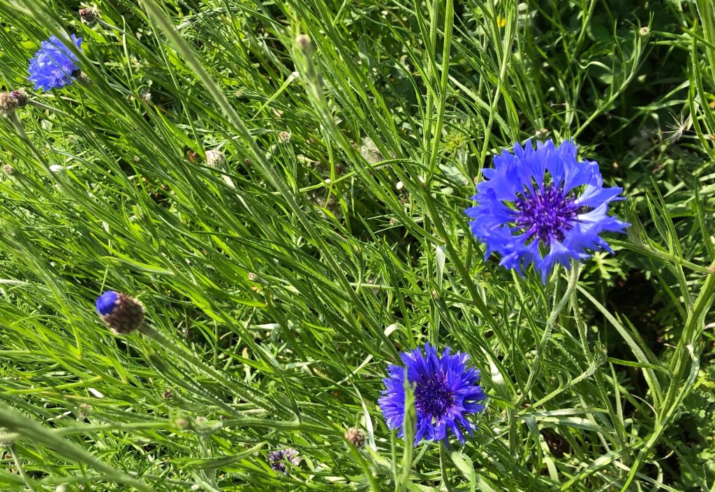
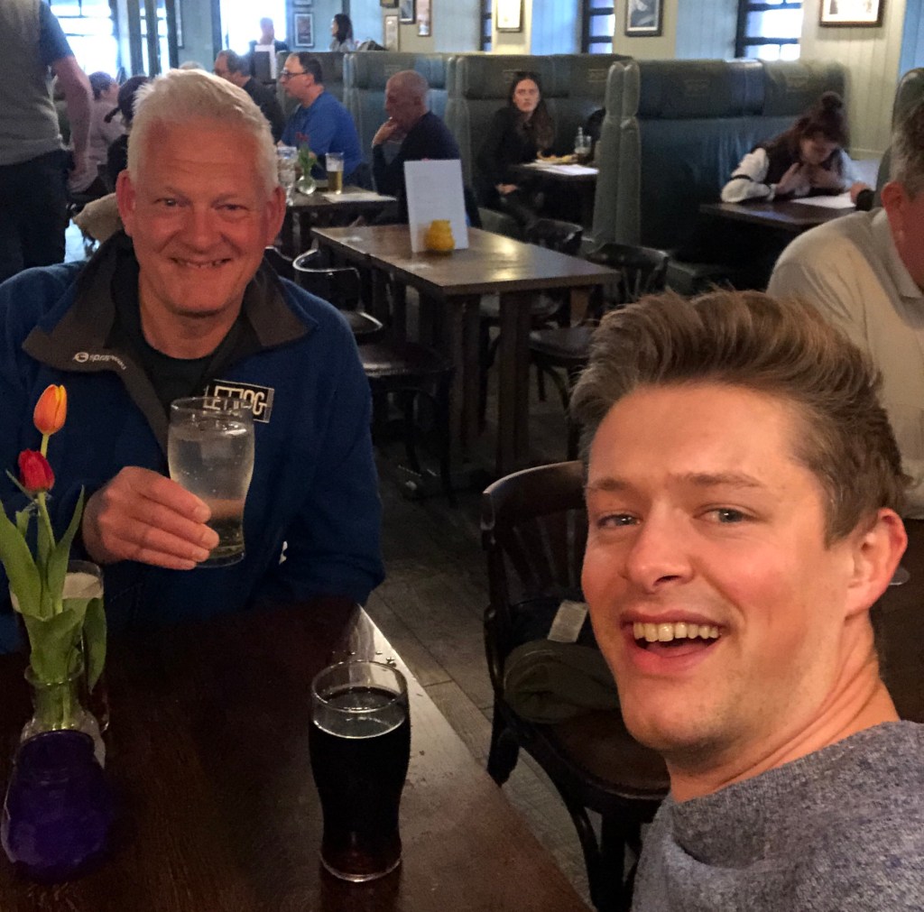
This day of late spring flowers, verdant meadows and pleasant suburbia marks the 22nd of my LETJOG Peaks, and will certainly live in my memory. I have definitely caught the sun today, and starting my Blog on the train back to London, I admit to a degree of dehydration – note to self to drink more water as the weather gets hotter! Luckily my son, Alistair, has just messaged me and we have arranged to meet for a drink at Paddington, so that’s one problem sorted. A perfect ending to a great day out.
‘The Riddle’, my Blog title for today, is borrowed from a song of that name written and performed by Bristol-born singer-songwriter Nik Kershaw. Released in 1984 as a single, this title track from his second album became a Number 3 hit in the UK whilst also charting widely across Europe and further afield. Kershaw once described the song as just ‘confused ramblings’ (a phrase that I can relate to in trying to find the top of Bristol today), although the accompanying music video that contains multiple references to Lewis Carroll’s ‘Alice’s Adventures in Wonderland’ hints at some deeper meaning.