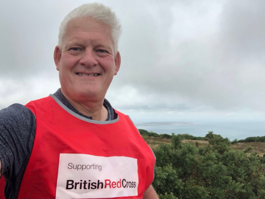
LETJOG PEAK No 34: St Boniface Down, Isle of Wight (241 metres)
Walk Date: Thursday 13 July 2023
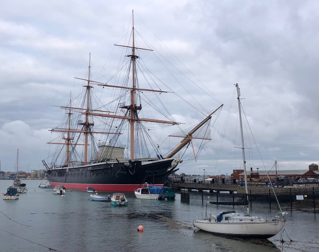
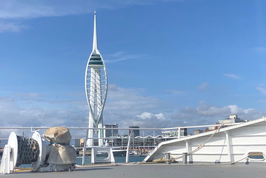
HMS Warrior in Portsmouth harbour: I stayed overnight in the city before my early crossing to the Isle of Wight
Well, this really is beyond exciting – my first LETJOG trip overseas! There is always something special, at least to me, in taking a ferry; perhaps it’s the memories of childhood holidays in France, or just a feeling of severance from the mainland and from everyday life, but even a simple day trip over the water remains an exhilarating experience to me as a ‘Senior’ (as my Wight Ryder ticket describes me)! I have been looking forward to this day ever since I started planning my LETJOG Peaks adventure back in the early spring – and what a fine day out it has proved to be.
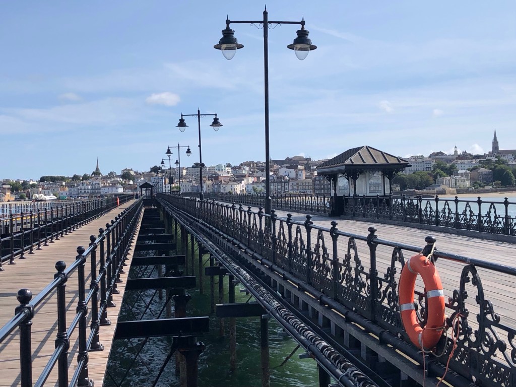
Arriving at Ryde Pier on the Isle of Wight
The next stage of my journey, to the start-point of my walk in Shanklin, involved a 20-minute rail journey from the end of Ryde Pier on a train imported from the mainland that had served previous time on the District Line of the London Underground. Passing through Ryde, Brading and Sandown I enjoyed some pleasing views of the countryside before arriving in Shanklin for breakfast ahead of my exertions.
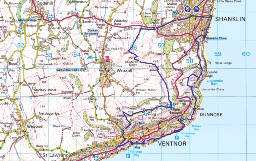
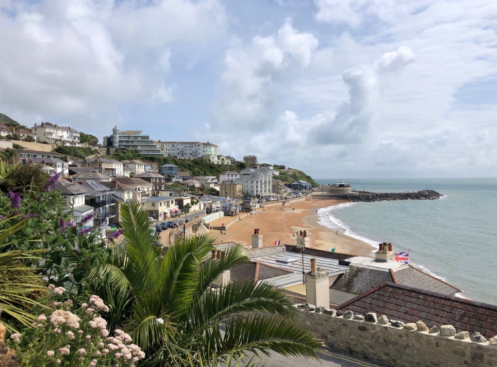
My route today began at Shanklin Station, and after exploring the town I set off clockwise along the Isle of Wight Coastal Path to Ventnor – then a long climb up to the Island’s summit upon the Downs and a pleasant ridge walk, before my descent back into Shanklin
My trek today covered 14 miles and over 650 metres of climb, a fine walking day whose story, as ever, is best told through my photos:
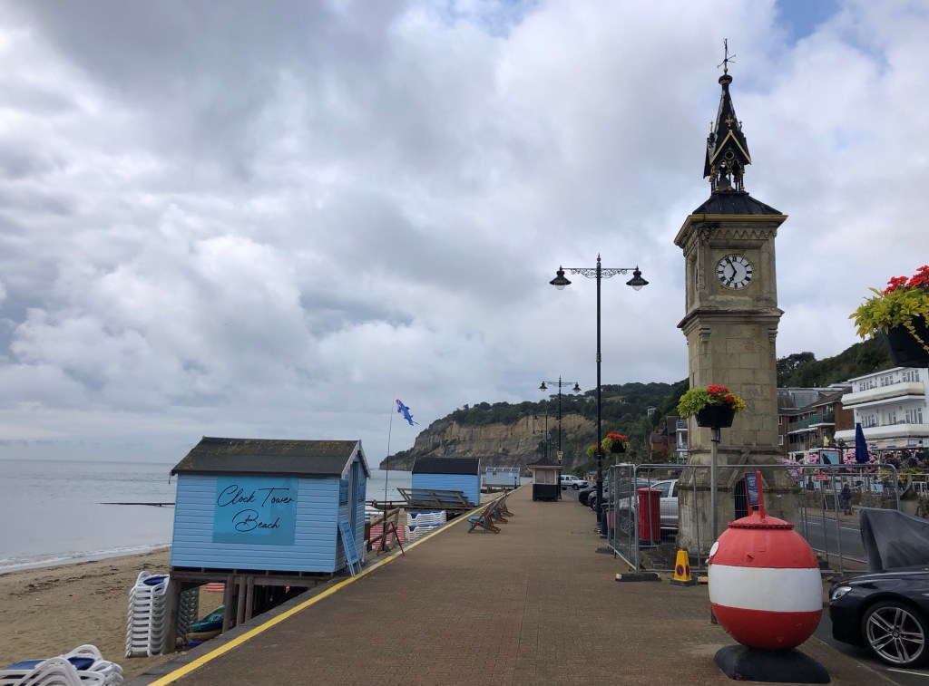
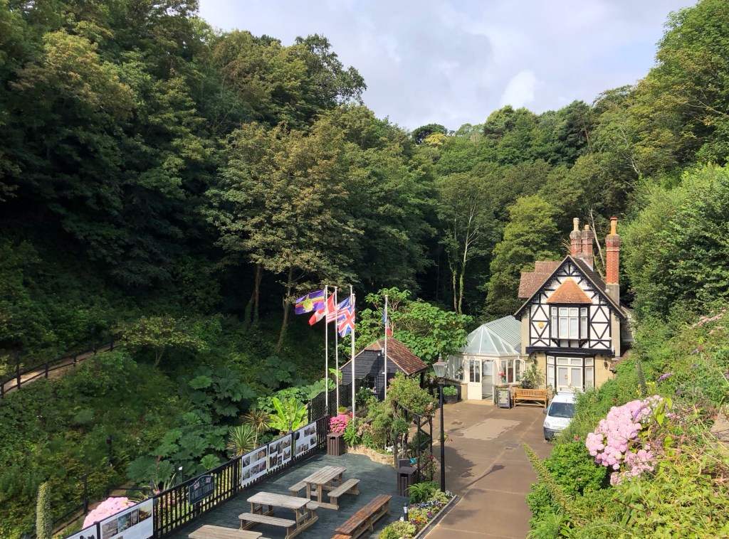
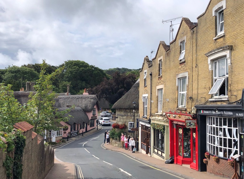
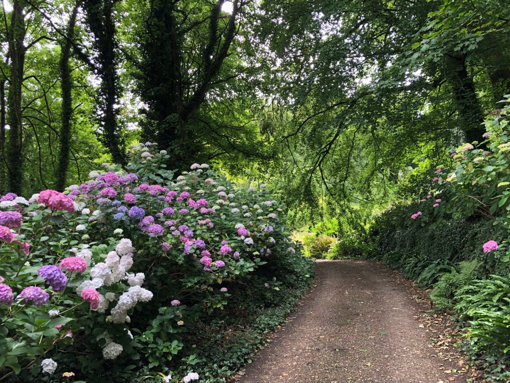
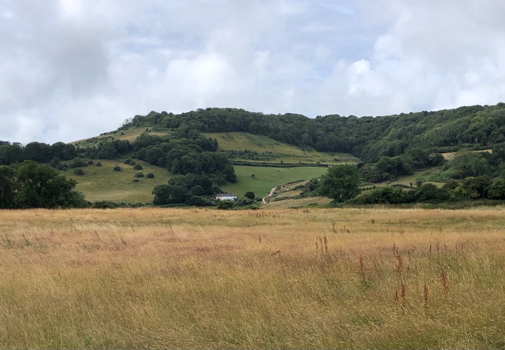
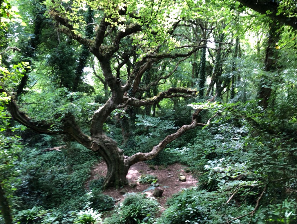
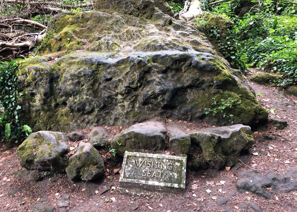
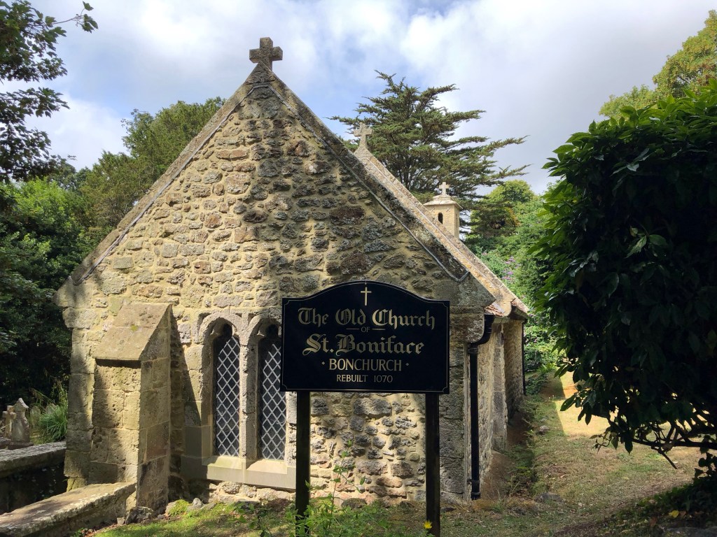
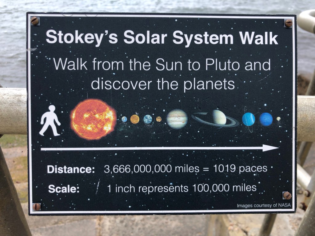
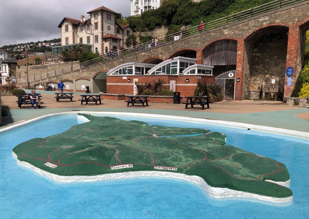
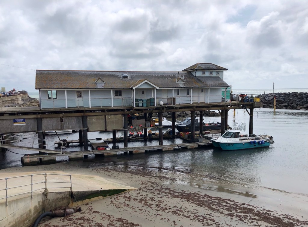
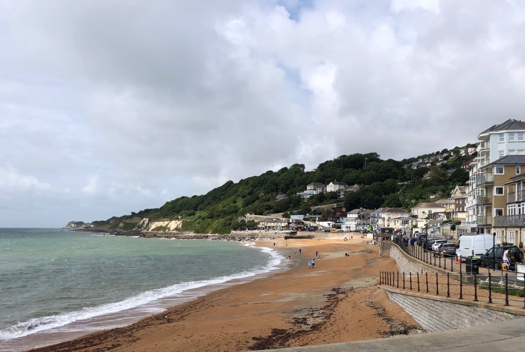
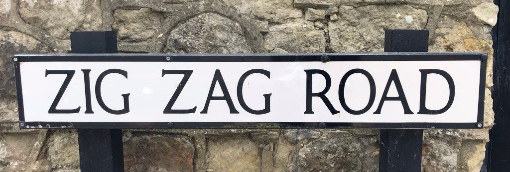
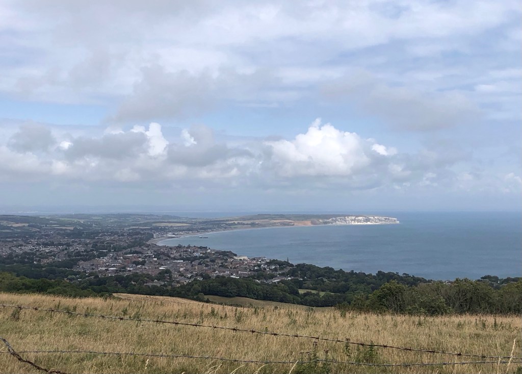
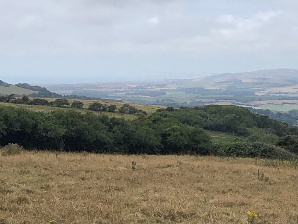
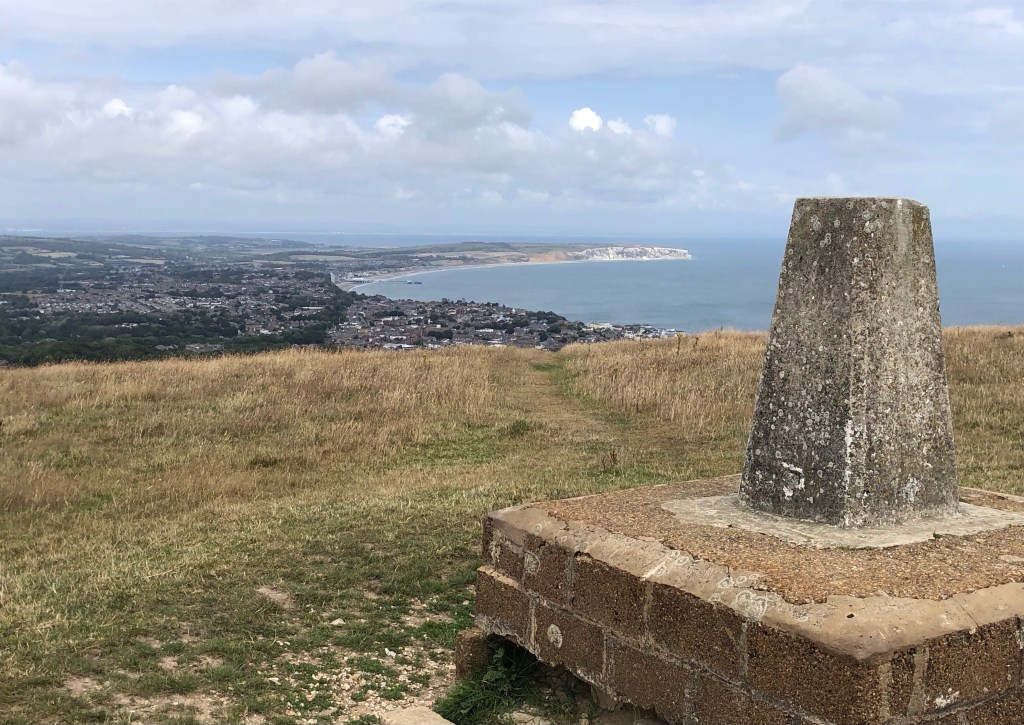
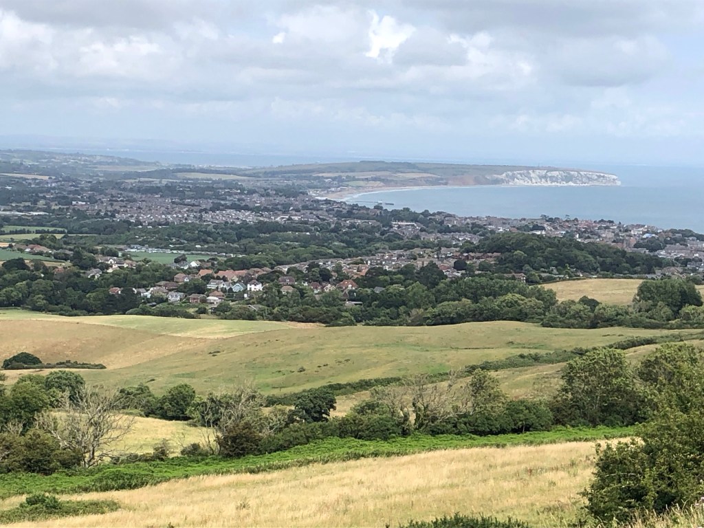
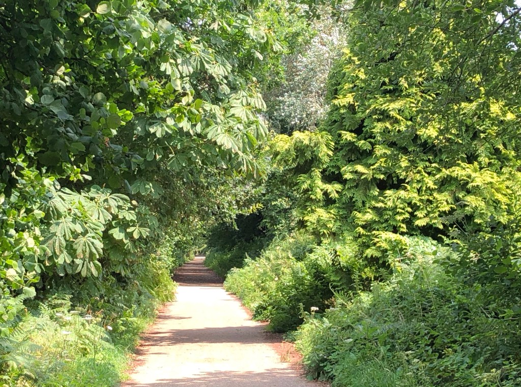
A scary start to the day on Shanklin seafrontThe Clock Tower on the promenade, funded by ‘The Lord of the Manor and the Inhabitants of Shanklin’, was built in 1897 to commemorate the Diamond Jubilee of Queen VictoriaShanklin Chine on a section of the Isle of Wight Coastal Path is a wooded ravine of waterfalls and lush vegetationA short diversion into the quaint streets of Shanklin Old Town was a step or two back in time – there is a drinking fountain (where I was able to refill my water bottle) with an ancient plaque bearing the advice ‘O, Traveller stay thy weary feet, Drink of this fountain pure & sweet, It flows for rich & poor the same, Then go thy way remembering still, The wayside well beneath the hill, The cup of water in his name’ The Coastal Path took me along tracks through the woods to Luccombe Village . . .. . . before a short inland diversion (due to coastal landslips) took me close to Nansen Hill and a first view of the Downs . . .. . . and then through the fairytale world of the undercliffFearful of the maxim ‘be careful what you wish for’ I passed by the temptation of sitting on the ‘Wishing Seat’At the far edge of the mysterious woods salvation awaits in Bonchurch at The Old Church of St BonifaceOn the long esplanade around Wheelers Bay I took a journey from the sun to the outer reaches of our solar system . . .. . . before regaining my bearings in Ventnor (over a cup of coffee) by this topographical map of the Isle of Wight Ventnor Harbour . . .. . . and a short beach walk along the shoreStarting the climb out of Ventnor . . .. . . up Zig Zag Road . . .. . . and up, at last, onto the Downs – do the cows suspect that there is rain on the way?Upon the windswept summit of St Boniface Down, the highest point on the Isle of Wight and my 34th County Top – at 241 metres of elevation the hill qualifies handsomely as a ‘Marilyn’ (and also, three times over, as a ‘Hardy’, which is a moniker accorded to the highest point of a hill range, on an island of over 1,000 acres, or of a top-tier administrative area)Views here extend northwards over Shanklin and Sandown to the cliffs at Foreland and, in the very far distance, the mainland coast around Portsmouth . . .. . . and westwards, through the haze, as far as the chalk cliffs of The Needles on the western extremity of the Island (just visible on the distant horizon, right of centre)In still murkier conditions the few trees that exist on the Downs can be used as a compass – the truncated side of each wind-sculpted tree faces directly south-westwards into the prevailing windHappily for me today brightened up as the afternoon progressed, allowing some clearer views by the time I reached the trig point on the top of Shanklin Down (235 metres)My descent back to Shanklin took me across fields . . .. . . down a path lined with plane trees off St Martin’s Down . . .. . . and finally along the route of the former Wroxall to Shanklin railway line, through Upper Hyde and back into the town
And so ended a wonderful day on this latest stage of my LETJOG Peaks challenge. My walk finished under blue skies and with a chance for me to enjoy some time in Shanklin and then in Ryde following my short rail return up to the north coast to meet my ‘Wight Ryder’ hop back to the mainland. It seems such a shame to be leaving the Island so soon, and I have made the appropriate note to come back and complete the 68-mile Coastal Path before too many more moons pass.
Sailing back into Portsmouth at the end of a great day out
My Blog heading for the day ‘A Floating Life’ is inspired by the song of that title by jazz-funk band Level 42. The group, formed in 1979, comprised four founding members, of whom three hailed from the Isle of Wight, including Mark King and Phil Gould who co-wrote ‘A Floating Life’. The song was included in the band’s fifth studio album ‘True Colours’ released in 1984. Known for the distinctive ‘slap style’ bass playing of King, Level 42 went on to achieve a number of worldwide hits over the next 15 years before disbanding, although they have re-emerged at various times since 2001. Indeed, I recall seeing them on a lively evening as the headline act at ‘Rock The Moor’ in Cookham back in 2015.
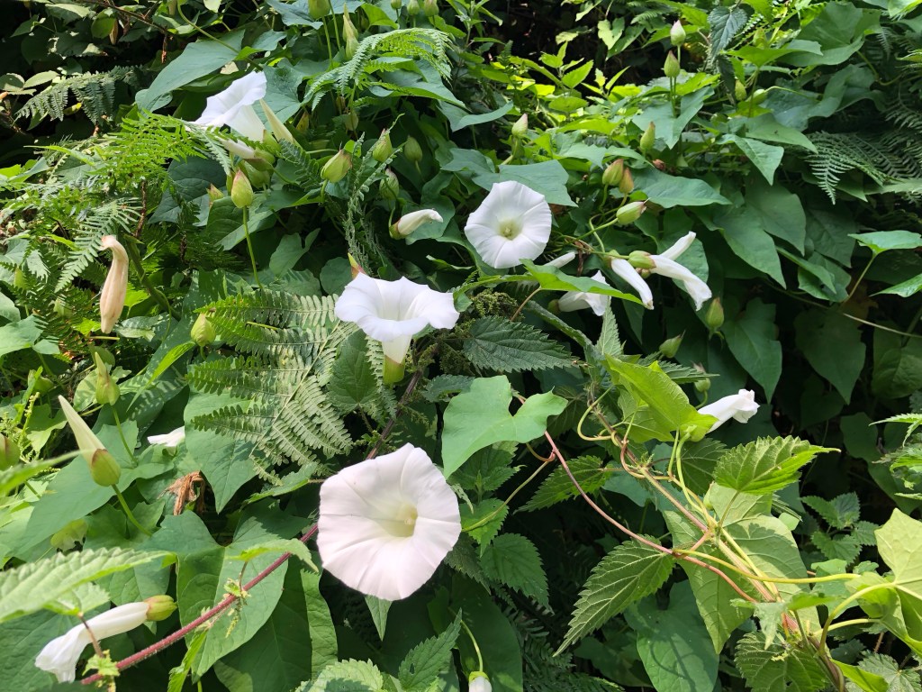
Convolvulus on the embankments of the old railway line coming into Shanklin


Love your blogs – keep going !!!
LikeLike