LETJOG PEAK No 38: Brown Clee Hill, Shropshire (540 metres)
Walk Date: Monday 7 August 2023
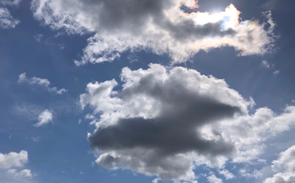
Some magnificent skyscapes over Shropshire today
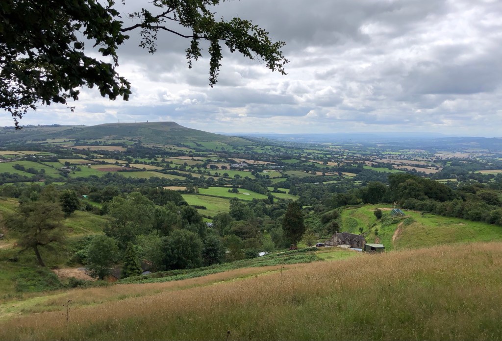
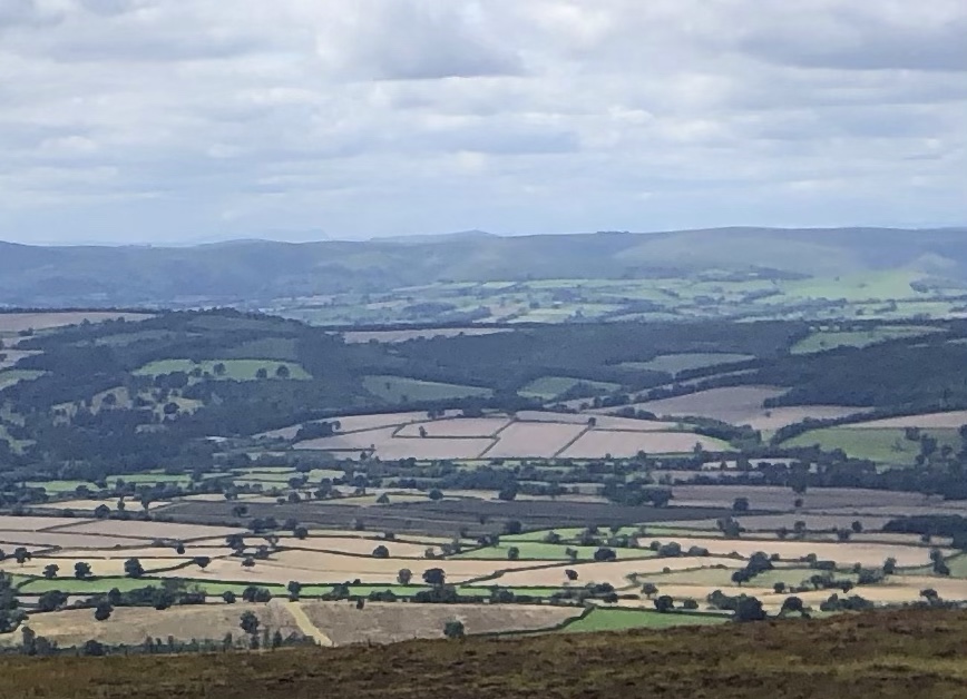
One very welcome facet of my LETJOG Peaks adventure is that steadily, and initially unknowingly, the experience has informed my understanding of the topography of the southern half of Great Britain, namely England, to an extent that I had previously failed to grasp from maps alone, or even from my various walks around our island in previous years. This walk particularly, on a fine day of massive views along the tops of Shropshire, brought that subliminal learning home as I enjoyed the mesmeric and all-encompassing panoramas that extended from the Peak District many dozens of miles away to the northeast, to Cannock Chase and the Birmingham skyline to the east, around to the Malvern Hills in the southeast, and then southwards past the Cotswolds and the Black Mountains, west to Radnor Forest and mid-Wales, and finally to Snowdonia, as far as Cader Idris. Many of the surrounding summits I have walked during the last five months or so of this escapade, and in some cases I now recognise the shapes of the landforms and their distances and relationships to each other in the wider landscape. With its central location and 373-metre prominence there are few such excellent viewpoints from which to test this newly-appreciated knowledge than here in Shropshire, on Brown Clee Hill.
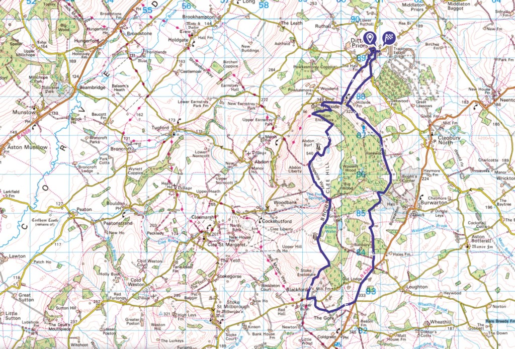
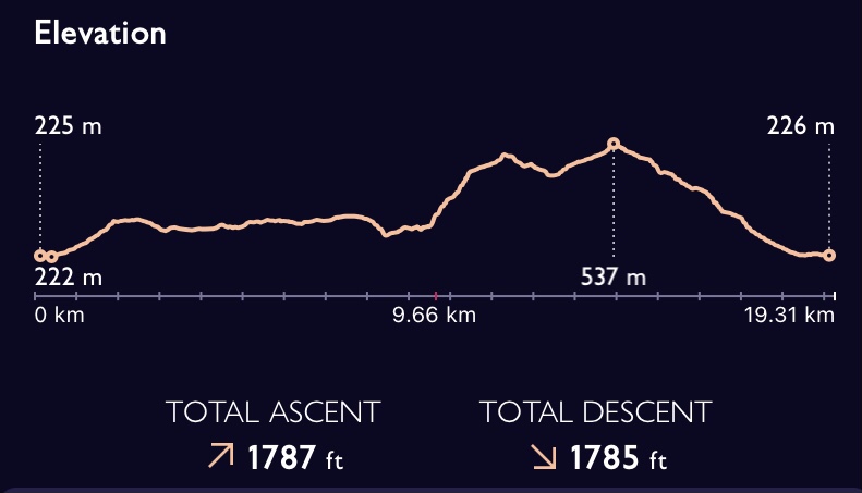
My clockwise trek today started and finished in Ditton Priors, a charming Shropshire village midway between the market towns of Ludlow to the southwest and Bridgnorth to the northeast . . .. . . and, as this profile shows, most of the outbound walk follows the contours of the lower slopes on the east of Brown Clee Hill for an easy half-dozen miles on good tracks and with stunning views, that comes highly recommended for those not favouring a climb: thereafter the path climbs steeply to the tops, for an exhilarating walk of spectacular far-reaching vistas in all directions
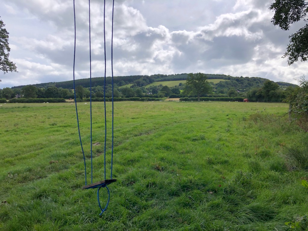
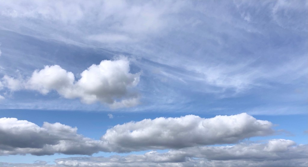
After four consecutive wet weekends I guess that we have all been waiting on a sunny day, and so, with the forecast looking good, I put together this two-day trip at short notice. As they say, let’s make hay whilst the sun shines! And what a fabulous day it has proven to be: huge skies of spectacular cumulus cloud bringing intervals of sunshine on a pleasant westerly breeze and with sub-twenty-degree heat that favoured comfortable walking. Add to all that the clear air beneath a high cloud-base and today was truly a perfect time to be up in the hills. Enough said, next slide please . . .
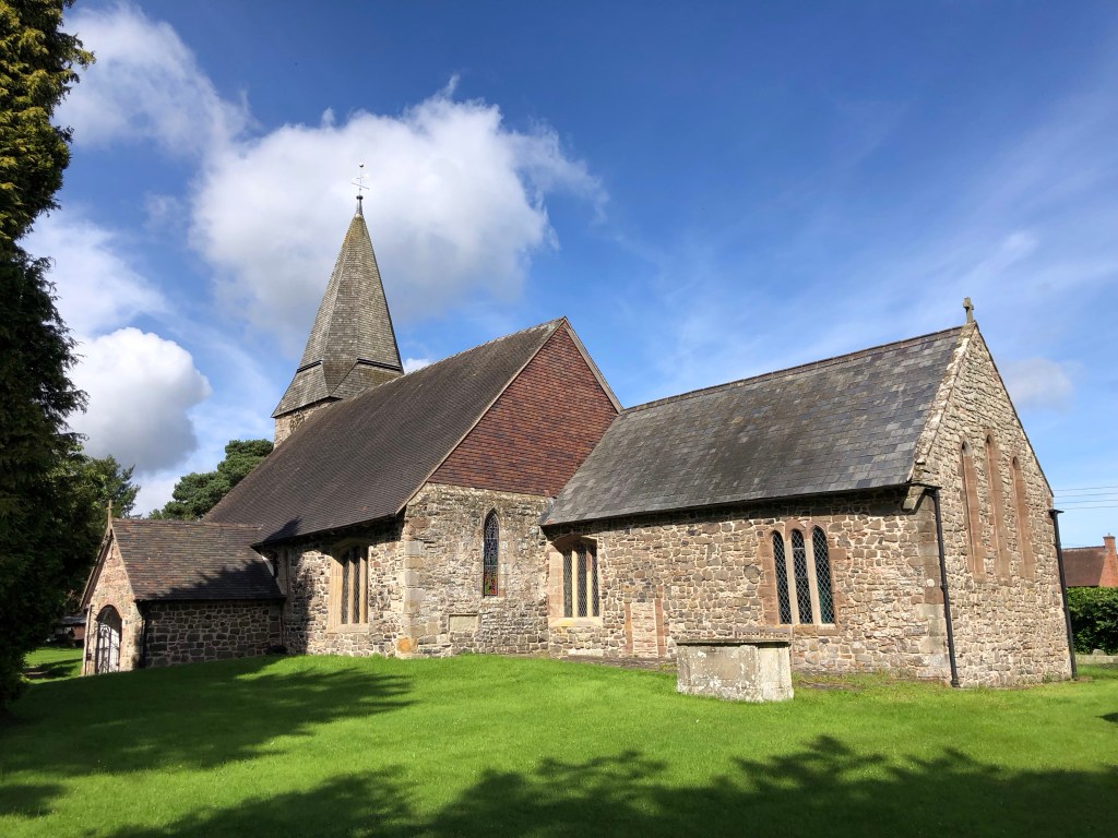
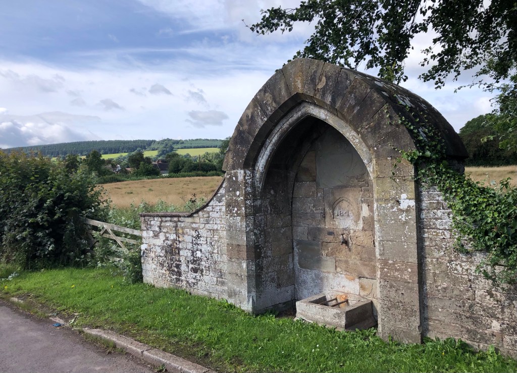
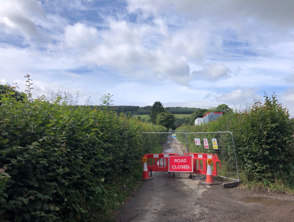
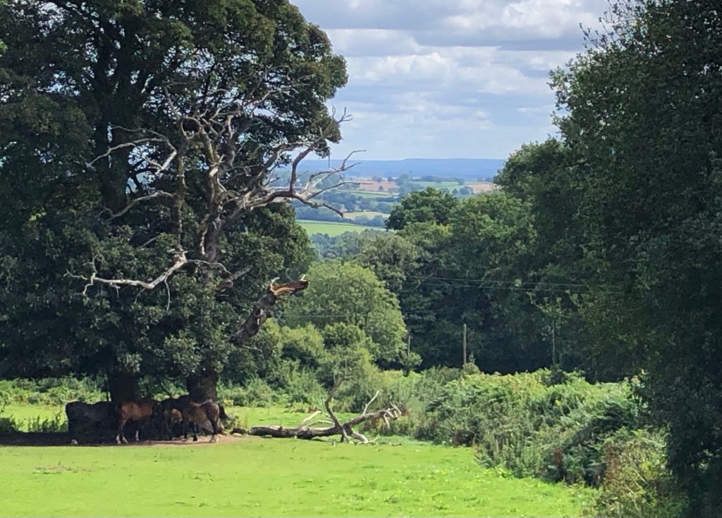
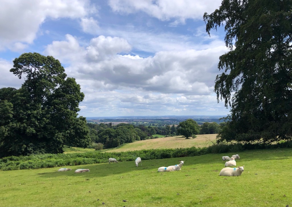
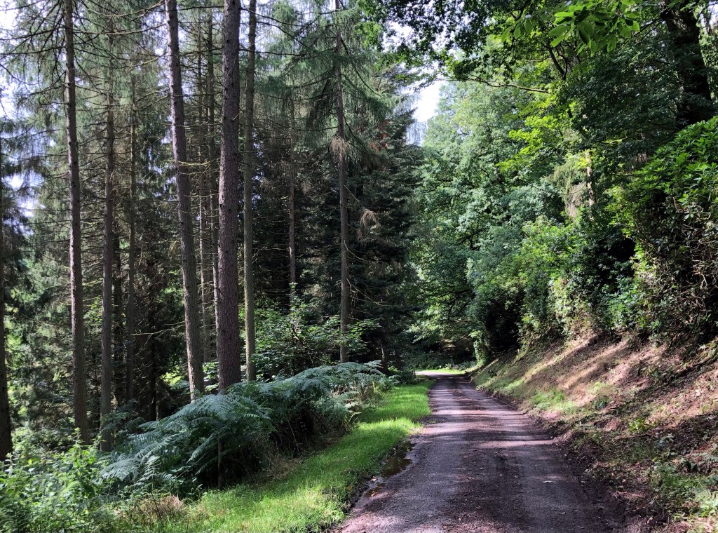
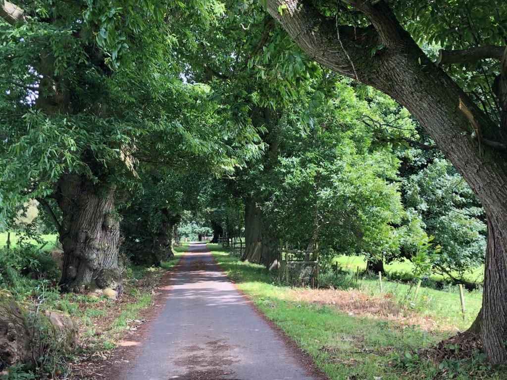
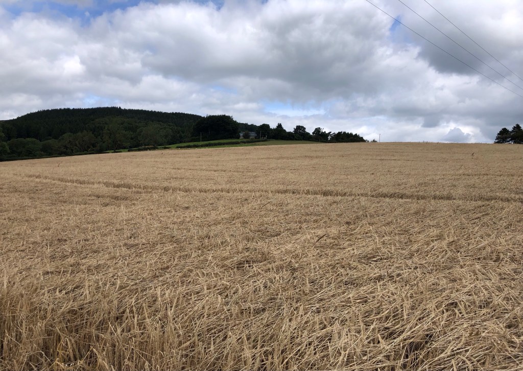
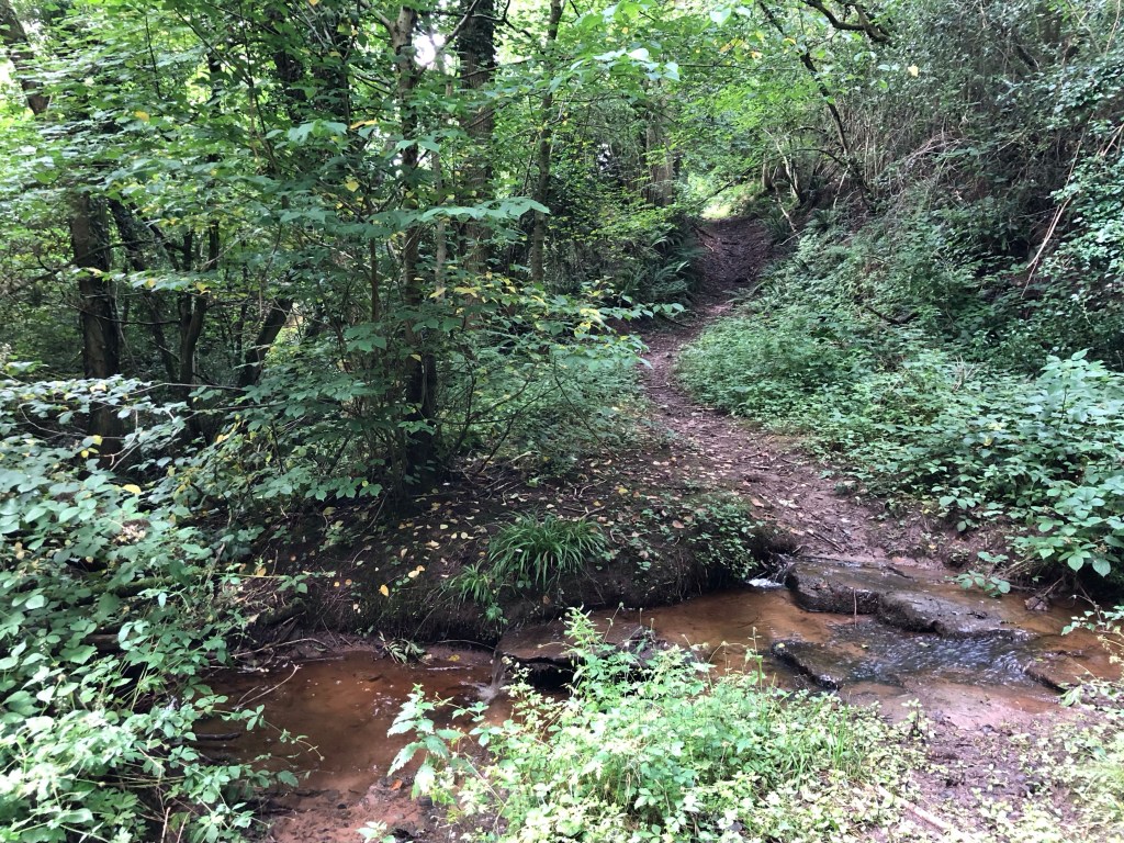
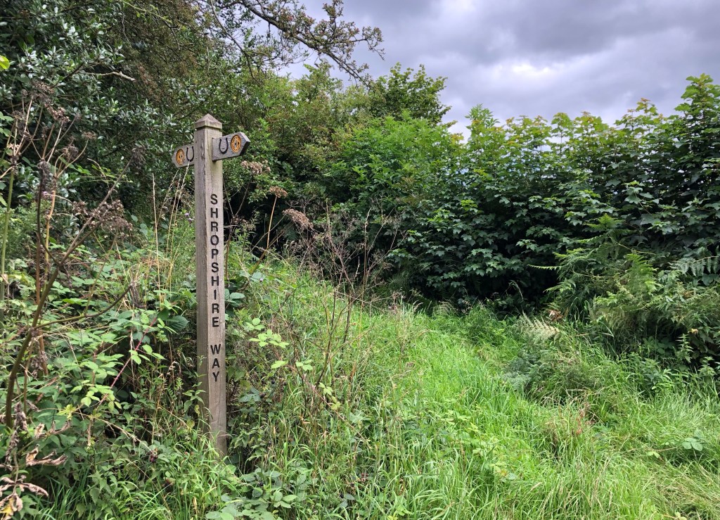
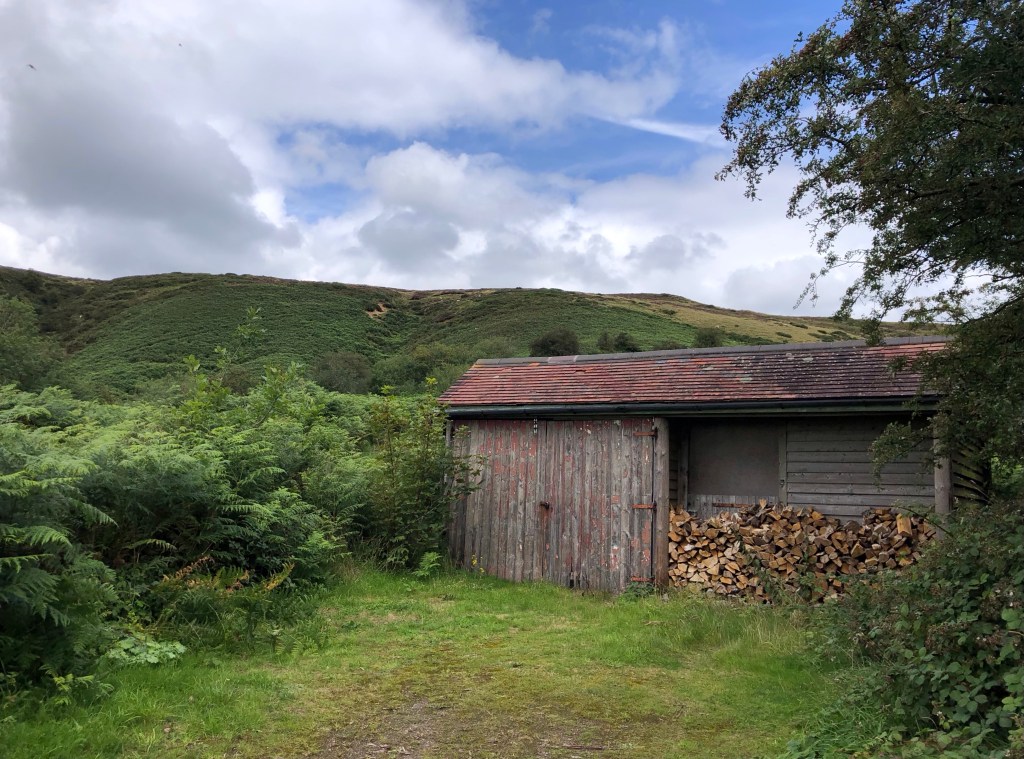
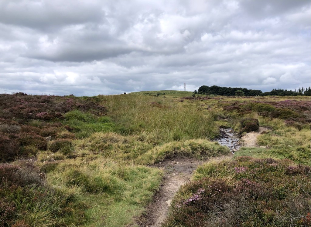
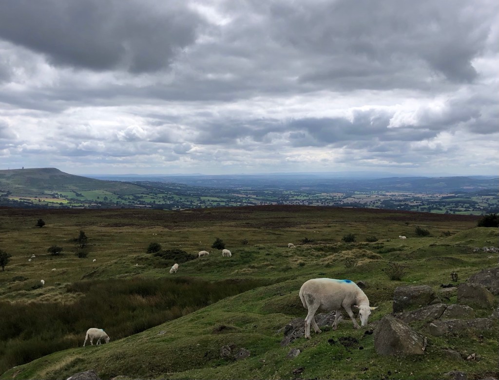
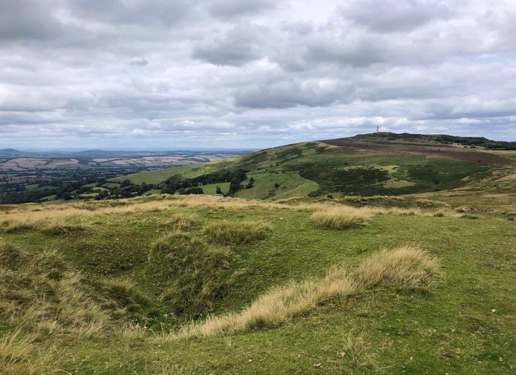
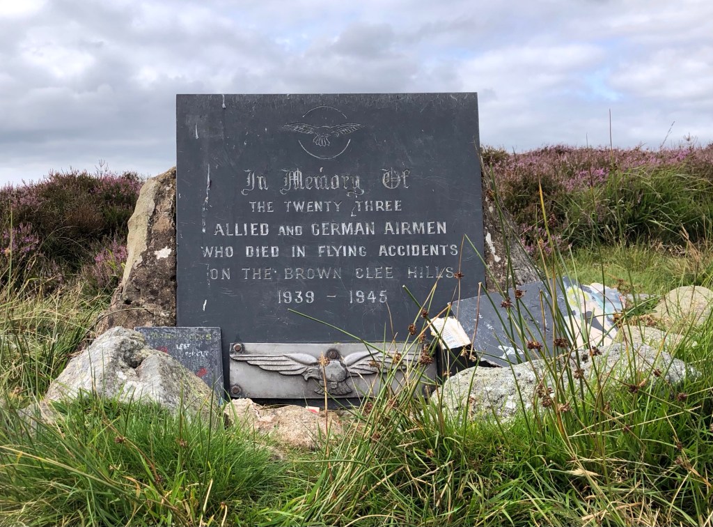
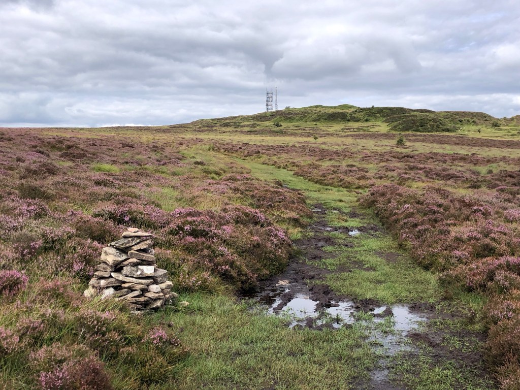
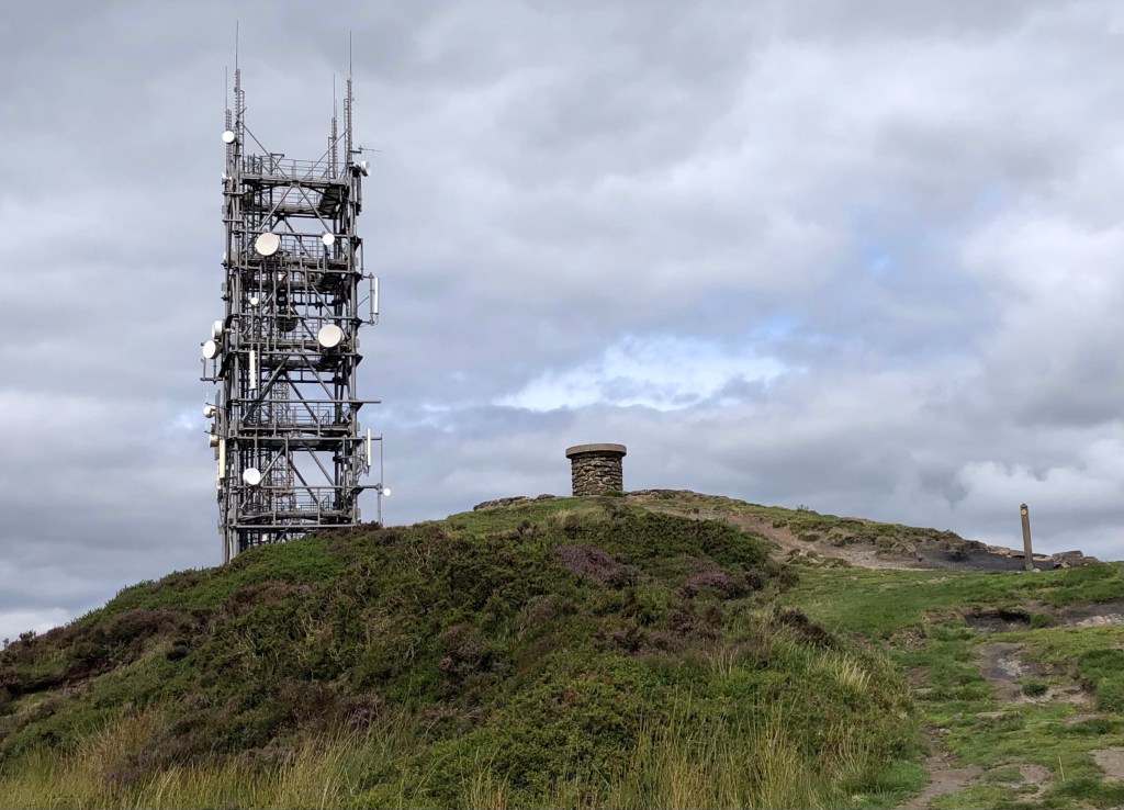
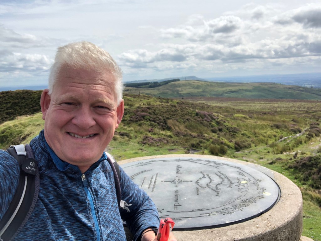
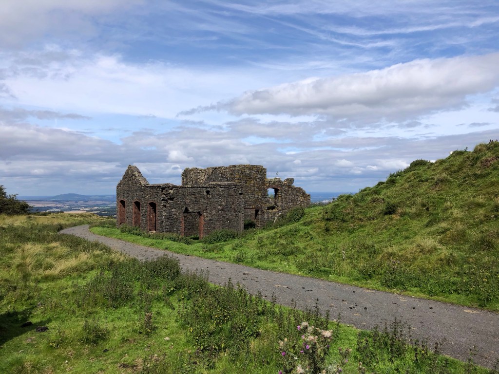
I parked up near the Church of St John the Baptist in the centre of Ditton Priors – as with many of the other buildings in the village the stone is a local dolerite, an ancient igneous rock quarried nearby in the Clee HillsThis drinking fountain on the edge of the village, dating from 1845, offers thirsty travellers a water source on their journey – there is a second tap further along the road under a similar (but brick-built) enclosure with a plaque warning ‘LIABLE TO POLLUTION’: on balance I decided to give them both a miss!An early view of the hills – but with the lane out of Ditton Priors closed even to pedestrians I was forced into a tricky diversion through brambles and nettles, on an evidently seldom-used footpathThen serenity took over from prickliness, as my southward walk contoured the lower slopes of the ridge of Brown Clee Hill through Burwarton Park, affording fine views of this quintessentially English countrysideBurwarton House presides proudly over its estate . . .. . . and over the livestock on the lush pasturesEventually the parkland track leads into some mixed woodland of conifers, cedar, laurel and hardwoods . . . . . . including this wonderful avenue of mature chestnut treesAway from the park now, and my path took me across this barley field flattened by the recent rain and wind . . .. . . and through wildflower meadows where harebells flourishA woodland path across a stream brought me shortly . . .. . . to the start of my climb, following the Shropshire Way steeply up the southern slope of Brown Clee HillHalfway up, a byre-cum-woodstore . . .. . . and an early view back south to Titterstone Clee Hill: at 533 metres just a fraction lower than my destination peakOut onto the moors now . . .. . . where I took lunch atop Clee Burf, at 510 metres the secondary and more southerly peak of Brown Clee HillOn the move once more, for a first distant view of the County Top – up here there are several sinkholes, remnants of the disused hilltop quarry that largely obliterated an Iron Age fort; and there is also a navigational relay station used for air traffic control across a hundred-mile radiusA moorland memorial . . .. . . on my path over the heather to the summitClosing in on the top of Shropshire: the name Brown Clee Hill pertains to the whole ridge that I have walked, upon which the two summits of Clee Burf and the higher Abdon Burf sit: all the aerials and dishes of the ‘Wireless Station’ did little for my mobile signal that was non-existent for most of my climb up hereMade it to my 38th County Top, Abdon Burf on Brown Clee Hill in Shropshire, at 540 metres of elevation: the inscription on the roundel reads: ‘Wenlock Edge was umbered, And bright was Abdon Burf, And warm between them slumbered, The smooth green miles of turf’ (A E Housman)Looking to the northwest over mid Wales, towards Cader Idris, 57 miles away and just visible above the far horizon to the left of centreWith views northwards as far as the Peak District, and east over the Midlands Plain, Cannock Chase and the Birmingham skyline, this potentially stunning property is in some need of restoration!The road back down . . .. . . to Ditton PriorsA last look over my shoulder at the hills . . .. . . and then I was back in Ditton Priors village, amongst the dolerite cottages
After an early start from home this morning and around 14 glorious miles on the trail I was pleased to have just an hour or so’s drive, south and then east, through the verdant Shropshire and Herefordshire countryside to Great Malvern; where a hot shower, a good meal, and a comfortable bed awaited me. I am all set now for another fine day tomorrow, on the next leg of my LETJOG Peaks challenge along the summit of Worcestershire.
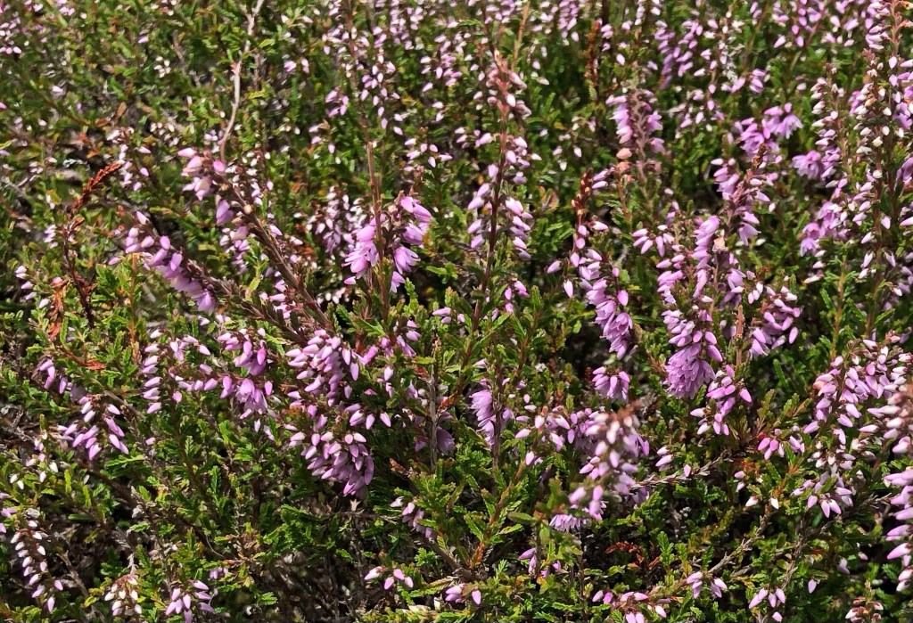
Moorland heather
‘Walk On Air’, my Blog heading for today, seems an apt title for what has been a truly wonderful walk across the top of Shropshire. The title is taken from the song of that name released in 1991 by Shrewsbury-based soft rock group T’Pau: their lead singer Carol Decker and guitarist Ronnie Rogers wrote the number, with the song becoming the second single from the band’s third album ‘Promise’. The critics of the day seem to have mildly enjoyed the song, with NME describing T’Pau as ‘no-nonsense pomp rockers who know what they want to do and do it very well’. High praise indeed – they must certainly have been walking on air after hearing that mighty commendation.
2 thoughts on “Walk On Air”
Looked up ‘Burf’- great word. Use it when you don’t have the right word to say.
So, what a brilliantly Burf walk Nick !
Have fun tomorrow! The sun is shining- Yey 🥳🥳
I have to say, Nick, that I’ve been enjoying your blogs. I know I’ve not commented much, but it doesn’t mean I’ve not been reading them. And loads of gorgeous photos. What a lovely country we live in.


Looked up ‘Burf’- great word. Use it when you don’t have the right word to say.
So, what a brilliantly Burf walk Nick !
Have fun tomorrow! The sun is shining- Yey 🥳🥳
LikeLike
I have to say, Nick, that I’ve been enjoying your blogs. I know I’ve not commented much, but it doesn’t mean I’ve not been reading them. And loads of gorgeous photos. What a lovely country we live in.
LikeLike