
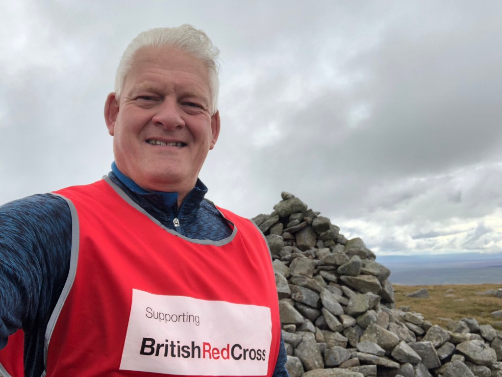
LETJOG PEAK No 46: Mickle Fell, County Durham (788 metres)
Walk Date: Sunday 27 August 2023
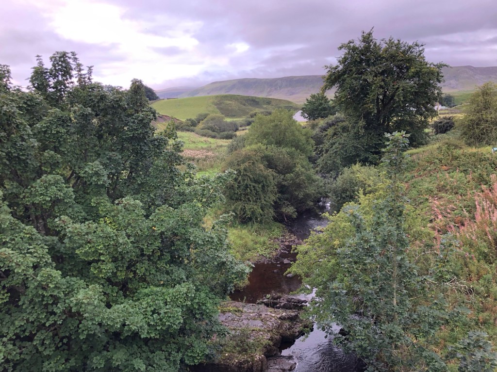
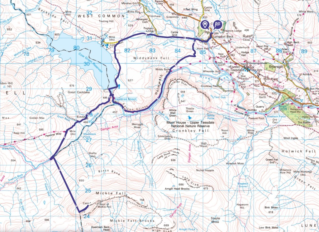
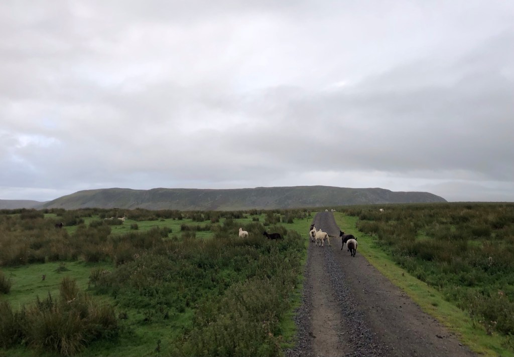
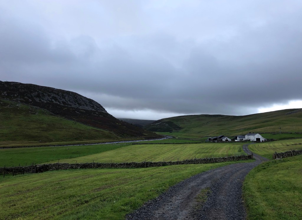
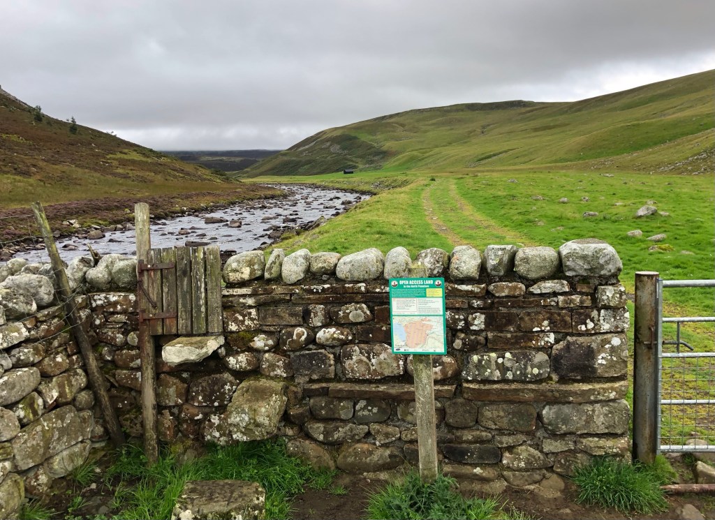
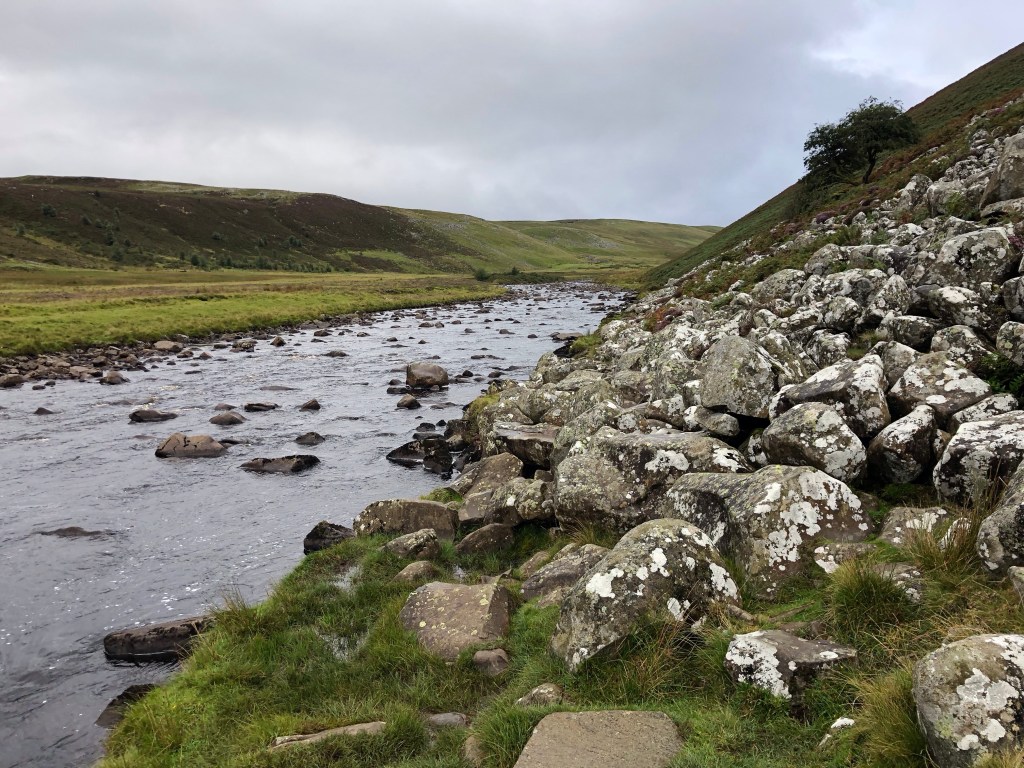
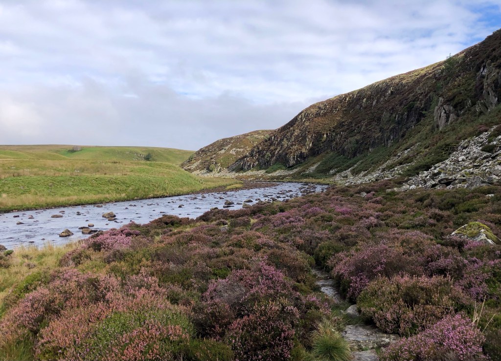
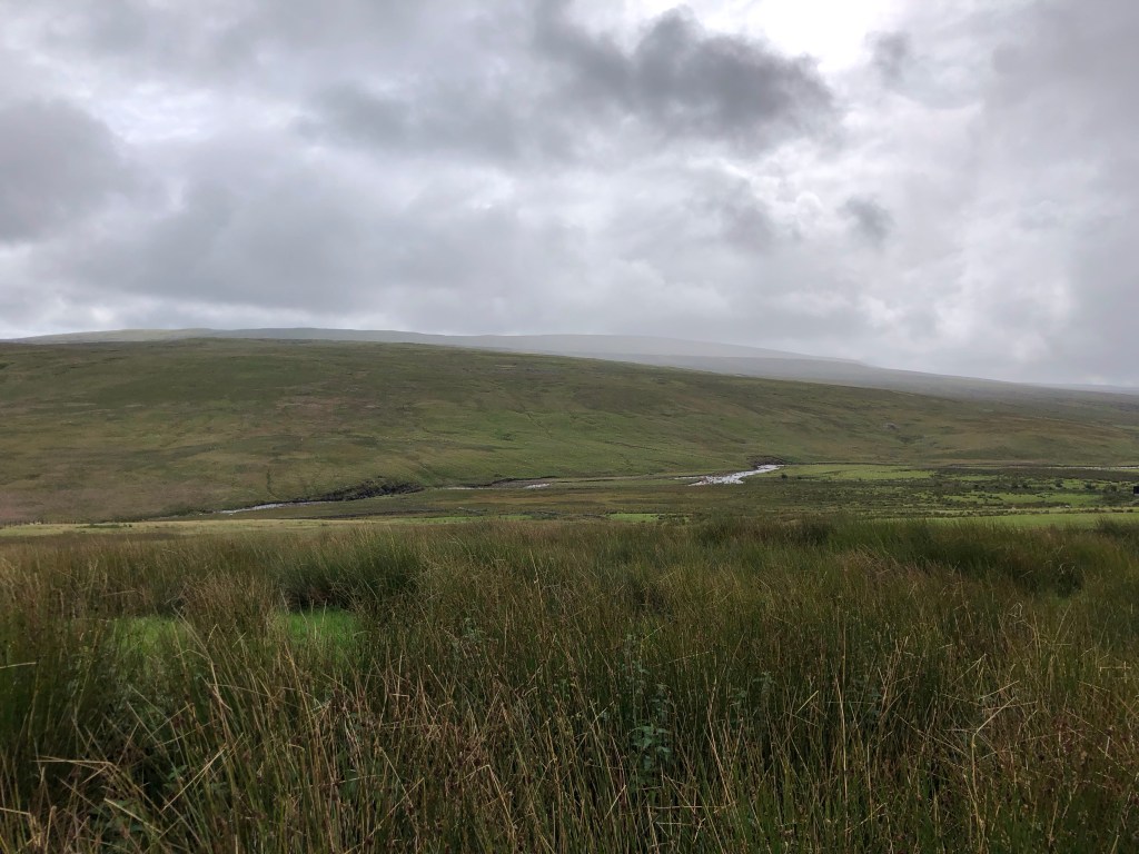
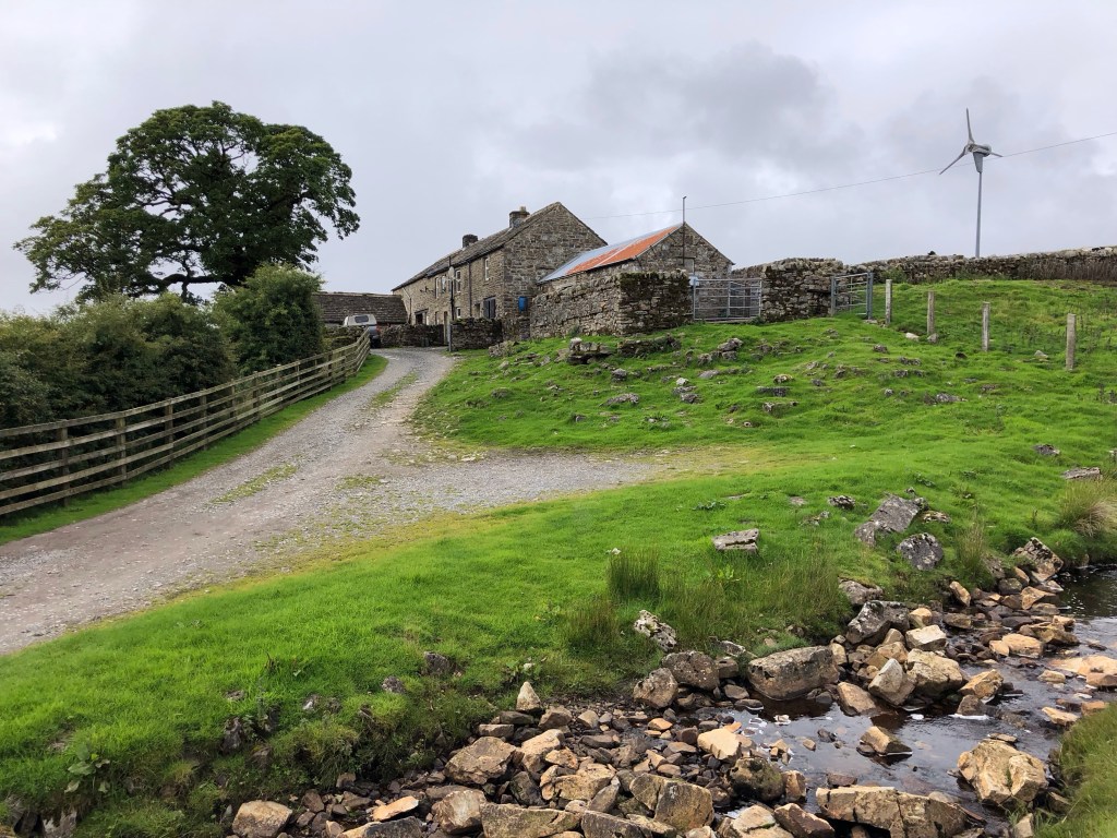
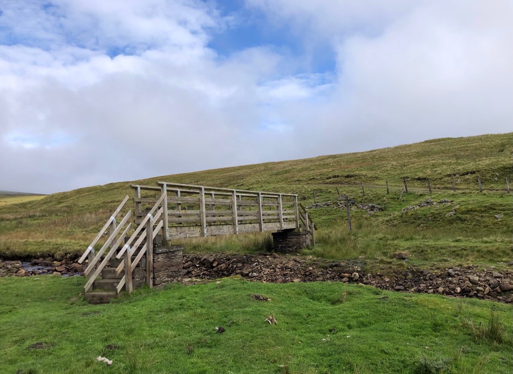
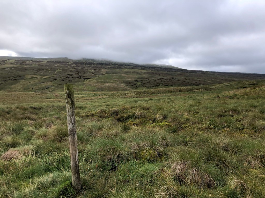
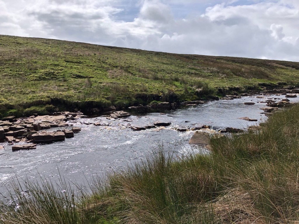
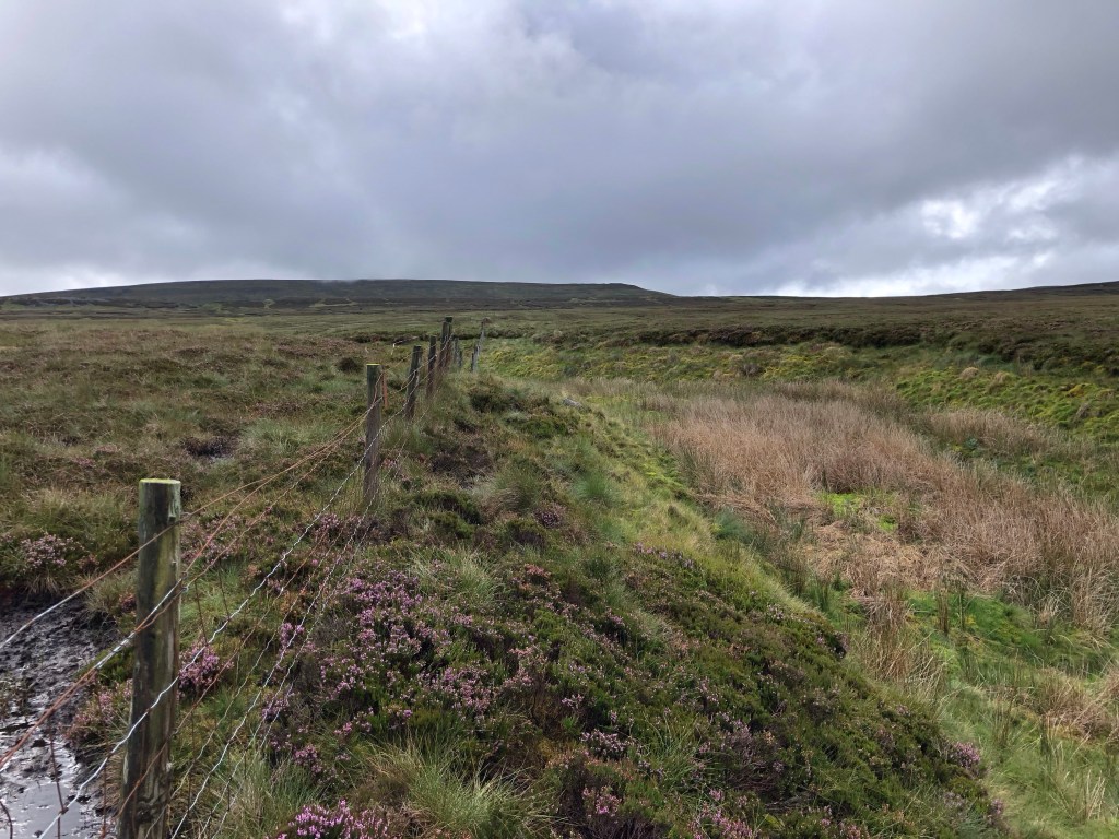
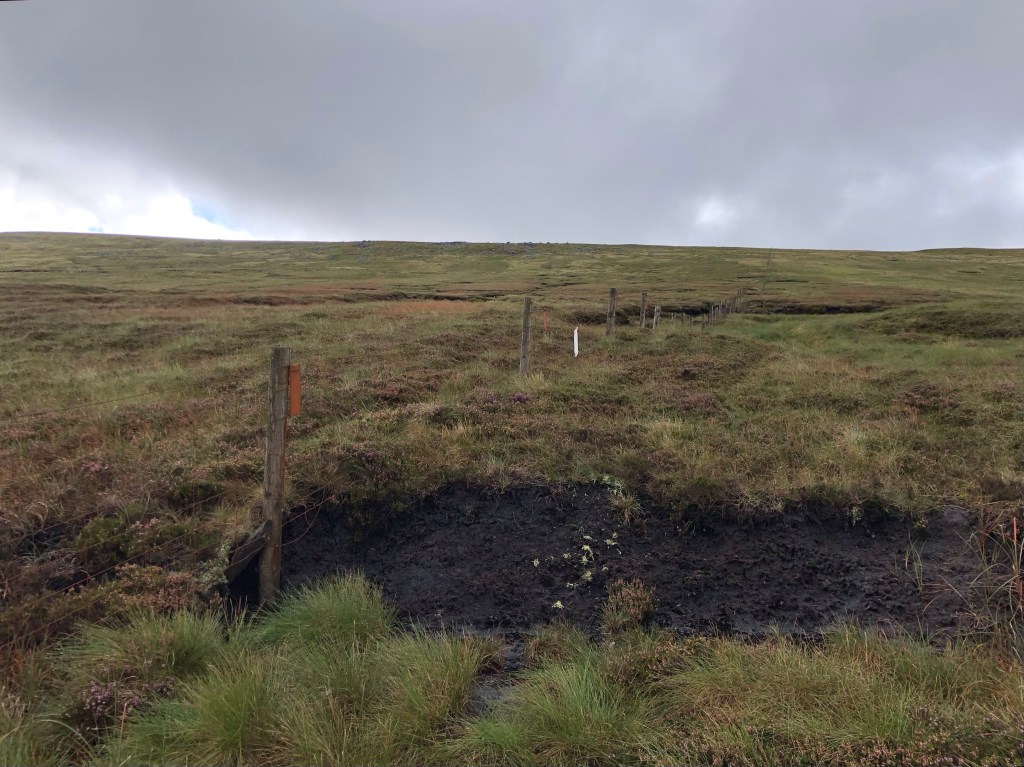
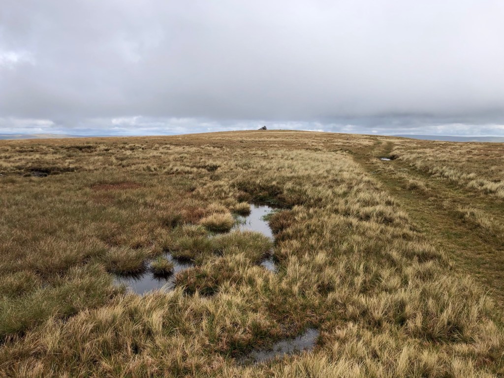
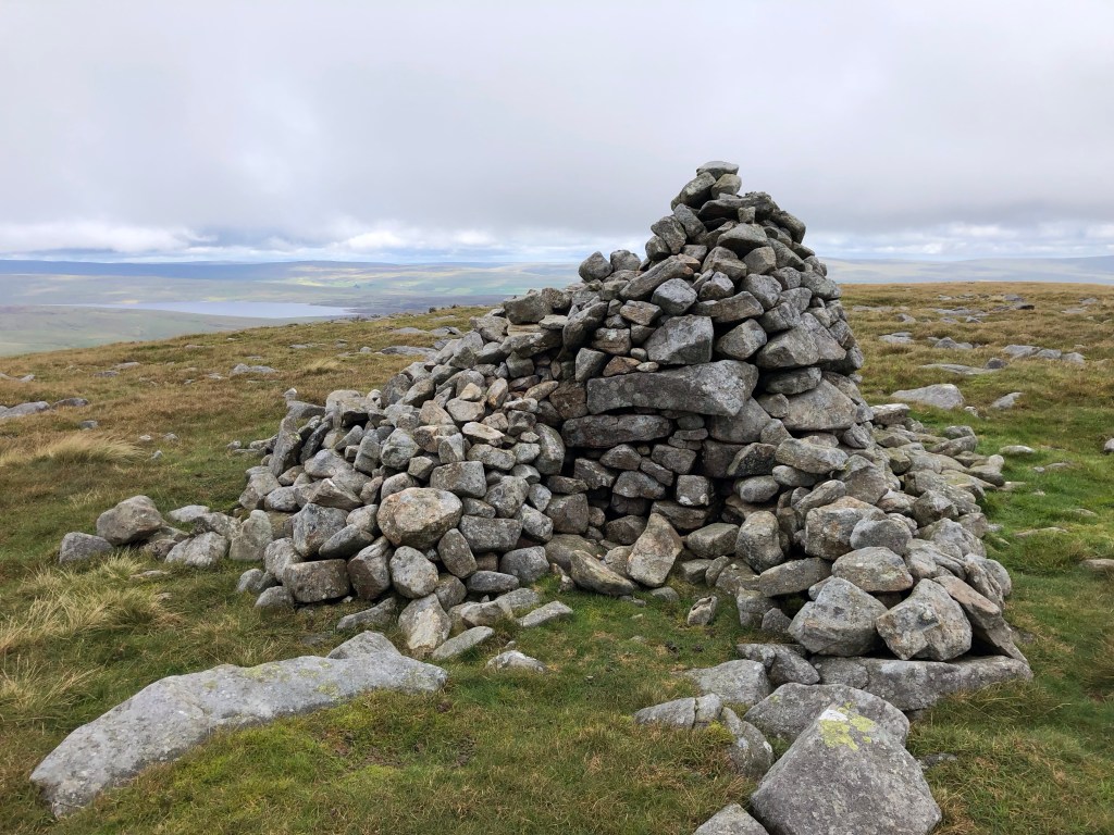
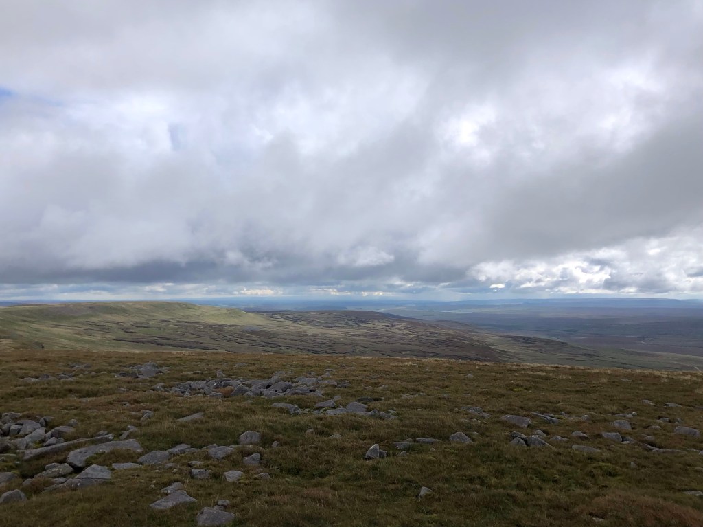
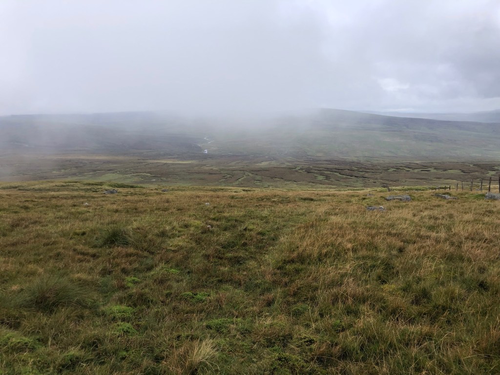
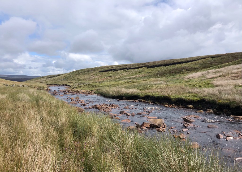
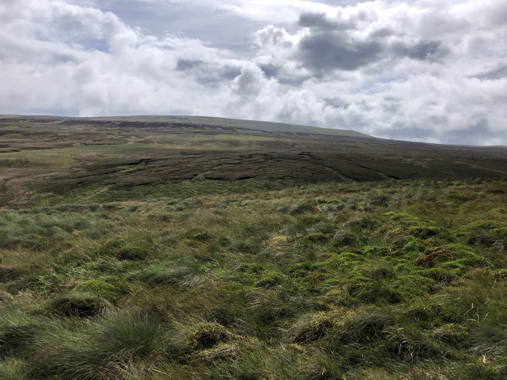
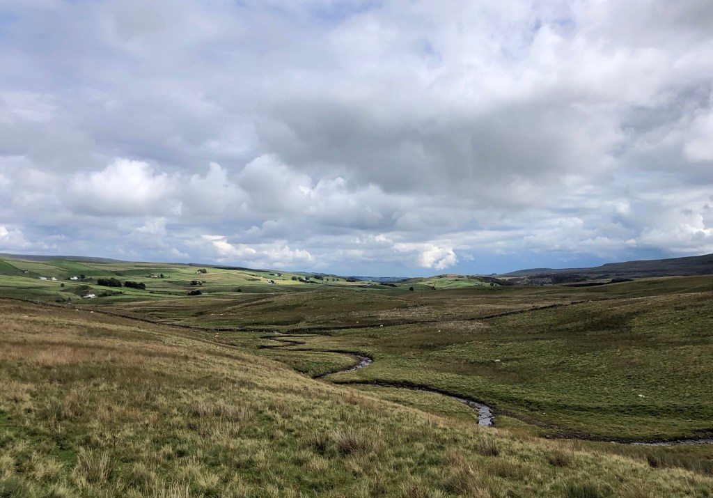
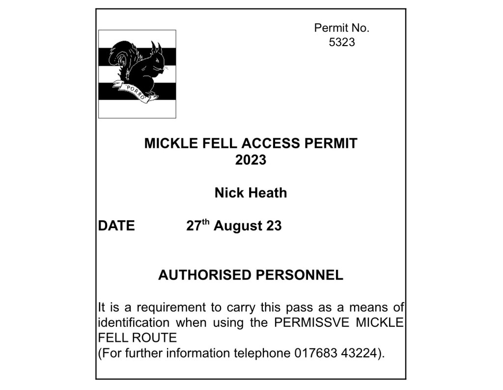
It is my fairly certain guess that not many people get to climb Mickle Fell. I knew from the start of my LETJOG Peaks venture that this would be the most tricky County Top to conquer, as there are a great many hurdles to clear before one gets to stand on the summit: location (the peak, for those of us in the Home Counties, is over 250 miles away), isolation (the summit cairn is a good seven miles’ walk from any public access road), topography (the Fell is 788 metres high, the third highest of all of the County Tops), access (there is an un-bridged fast-flowing beck to ford at the foot of the Fell, after which there are no footpaths, just boggy and peaty moorland on the slopes), weather (this part of the Pennines is often windy, prone to storms and has some of the highest rainfall totals in the country), and then (certainly at this time of year) there are the midges. And on top of all of this the whole area is an MOD live-firing range, a ‘Danger Area’ with access to the public restricted to a handful of weekends throughout the year. A permit is required for a strict access window on a particular day for a route along a pre-determined corridor of land, with firm signing-in and signing-out provisions (via mobile phone, if you can get a signal) and a requirement to report any military ‘bits’ that one may come across! After today the next ‘open weekend’ when I could gain access would be in November, when the weather might not be so compliant, so this walk was rather central to the wider ambitions of my County Tops venture. As you can imagine, waiting for all of these planets to align, in order to have a go at the climb, has not been without some apprehension!
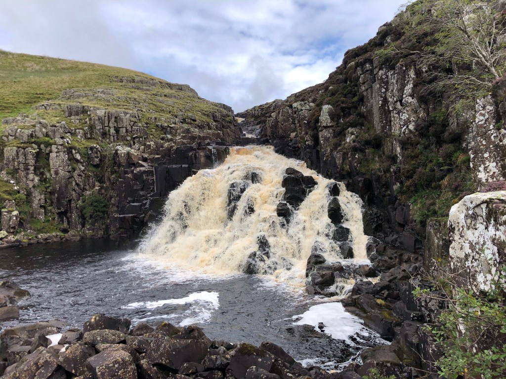
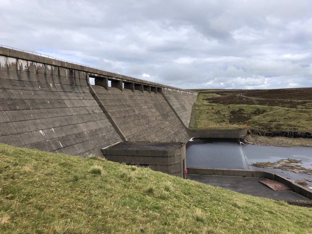
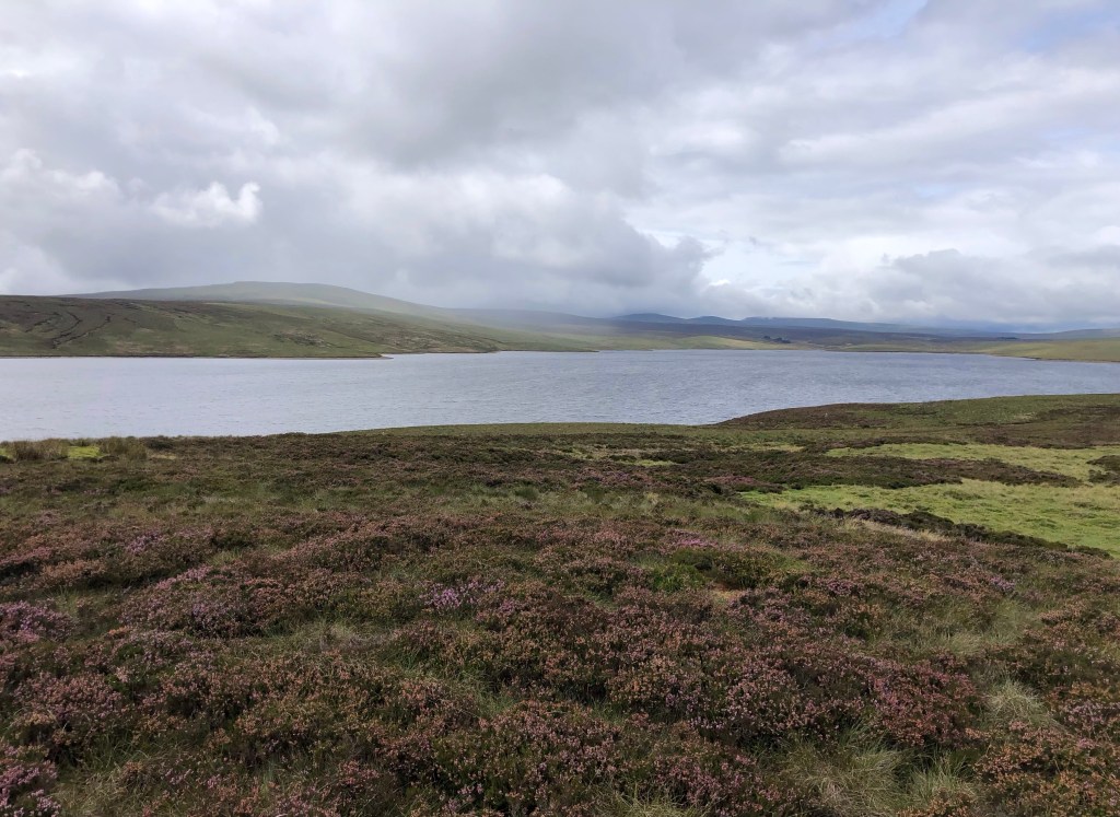
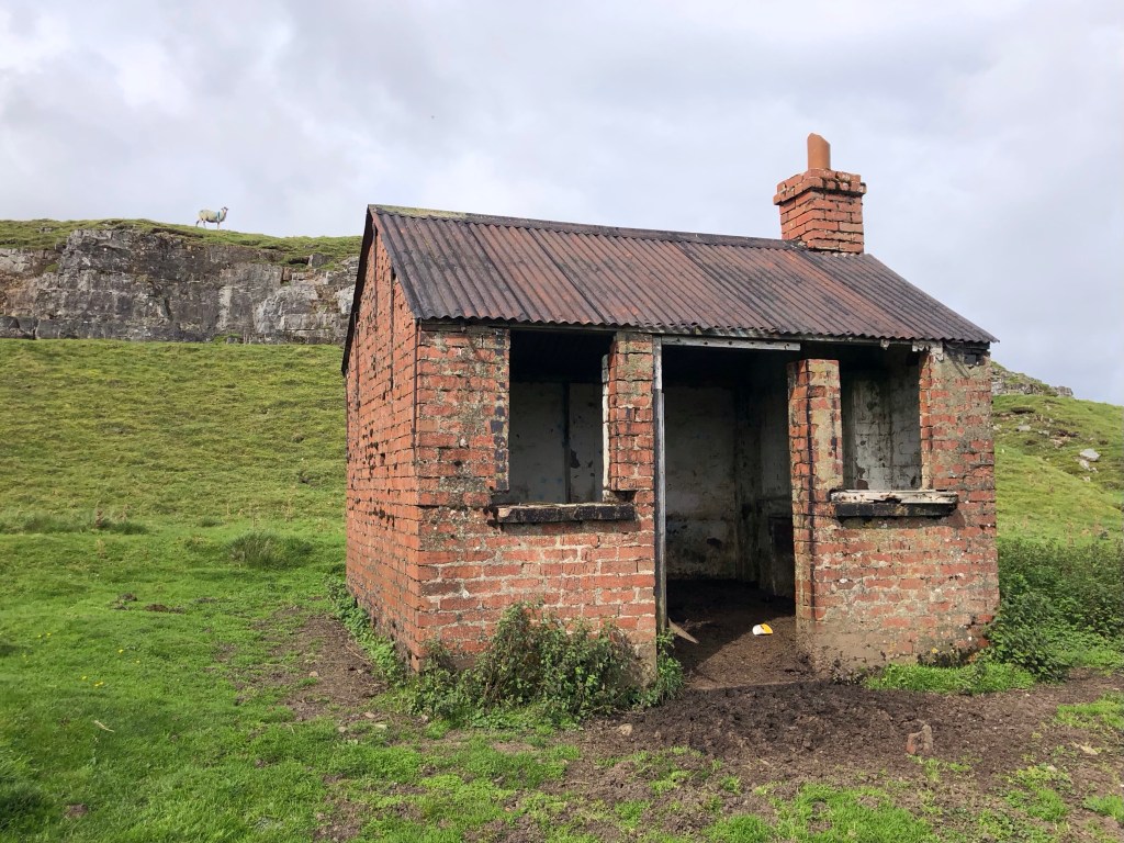
As a consequence of all of the above, and not wishing to blow my own trumpet (too much), it takes quite some experience and considerable walking fitness to contemplate an attempt on Mickle Fell, as well as a lot of planning to find an available access day when the weather and ground conditions are acceptable. Correct equipment is essential, so aside from comfortable boots, waterproofs and five layers of clothing (all of which I used at various times), I carried 3.5 litres of water (that were all consumed), plenty of food supplies, a survival blanket, map, compass, whistle, head torch, insect repellent (Avon of course), woolly hat and gloves (not used, but it was a bracing eight degrees in the wind and rain on the top), and first aid kit. And not forgetting my trusty nordic walking poles, without which I might not have been able to propel myself to the top. The reward for all of this is a day of splendid isolation in the remote hills (I saw not a soul until my afternoon return along the Pennine Way), some wonderful views, and quite a feeling of accomplishment at the end of the walk. I hope that the photos convey something of the experience.

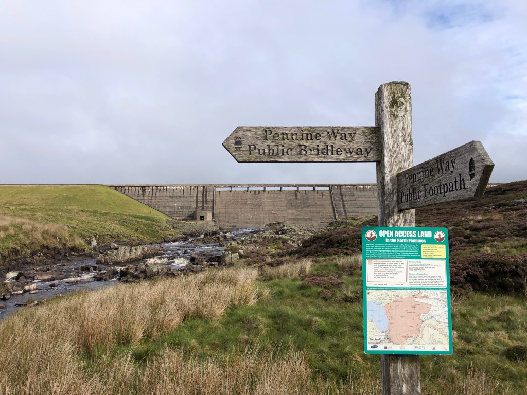

These 19 miles and over 800 metres of climb entailed a walk of over eight hours, all with quite a heavy pack (at least on the way up before I had consumed much of the water and provisions). My thanks go to the MOD for their efficient handling of my permit; I thought that they would be inundated with permit applications on this last summer access day, but it turns out that I was one of only two people crazy enough to request one – and they tell me that the other chap was a ‘no-show’, so I really was the only person to climb Mickle Fell today! Thanks also to Rachel, back at home, for the remote support – emotional and practical – and for being ready to summon any emergency help that I might have needed as a solo walker. As for me, this walk certainly began with a degree of nervous anticipation, and it ended with a tightness in my calves tonight after all of the laborious climbing of marshland and peat bogs! The end of my LETJOG Peaks challenge is now in sight, with just four County Tops remaining, but lest that complacency should set in, one of those final climbs is The Cheviot, the peak of Northumberland and a little higher than Mickle Fell. The Cheviot is the most distant of the County Tops from my home, and it is also a very isolated peak that will entail another demanding walk; thankfully though there will be no need for an access permit, and there should even be a path and some other walkers for occasional company!
Today’s slightly unusual Blog heading ‘List Of Impossible Things’ seems to sum up my feelings last week when contemplating today’s walk. The phrase is taken from a song title by Prefab Sprout; a number written and performed by the group’s leader Paddy McAloon from the 2013 album ‘Crimson/Red’. McAloon was born and grew up in the village of Wilton Gilbert in County Durham and still lives in his native county – along with his brother Martin, McAloon founded Prefab Sprout in 1978, and the band enjoyed considerable fame and commercial success from the early 1980s onwards. The album ‘Crimson/Red’, whilst credited to the group, was actually a collection of songs written and performed exclusively by Paddy McAloon (he sings and plays every note on all of the instrumentation on each one of the ten tracks). The Independent describes the work as ‘a lovely album from a true one-off’, whilst AllMusic’s David Jeffries has opined that ‘the music throughout is just as beautiful and bold as the lyrics’ with ‘immaculate production and an overall classic album flow’. I’m enjoying putting my feet up now and giving it a listen.

As usual – superby- photos & chat, Jane
LikeLike
Brave chap- very impressed. Did you find any military’bits’? The weather looked pretty grim Nick. Definitely a challenge I wouldn’t be very comfortable taking on so amazing achievement. I’m sure you managed to find a few good pints in the evening! Linda
LikeLike