
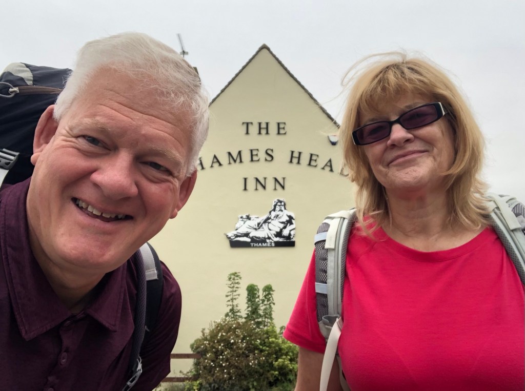
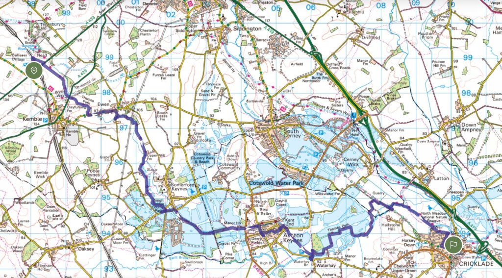
THE THAMES PATH – DAY 1: Monday 18 August 2025 – THE SOURCE to CRICKLADE (12.3 miles)*
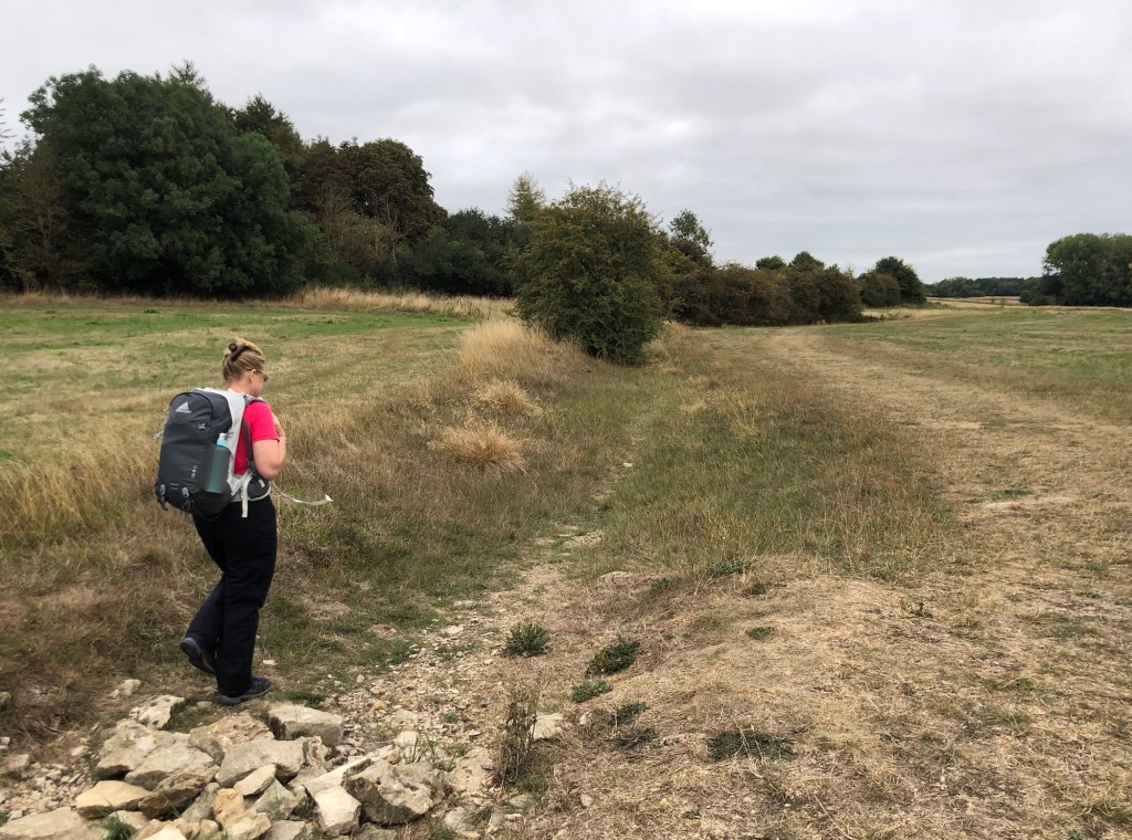
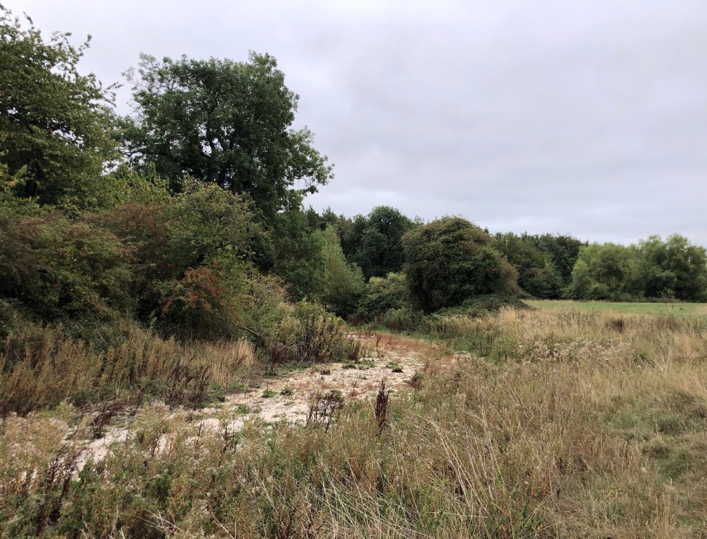
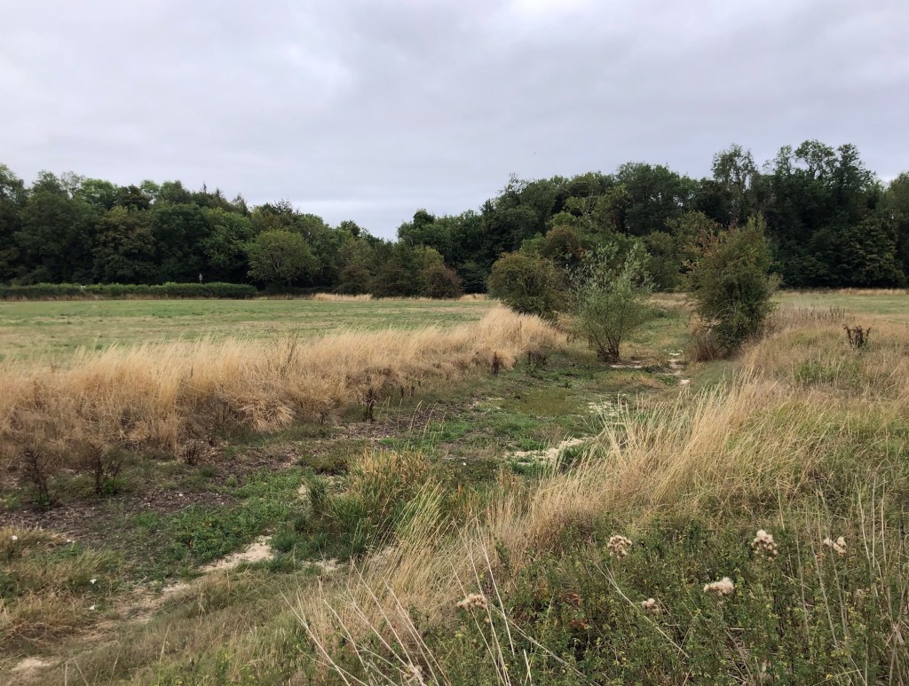
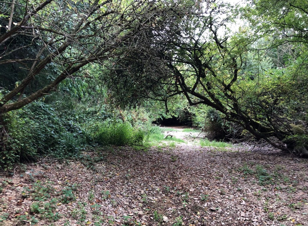
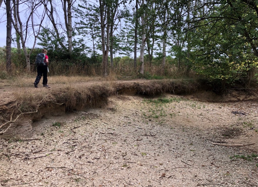
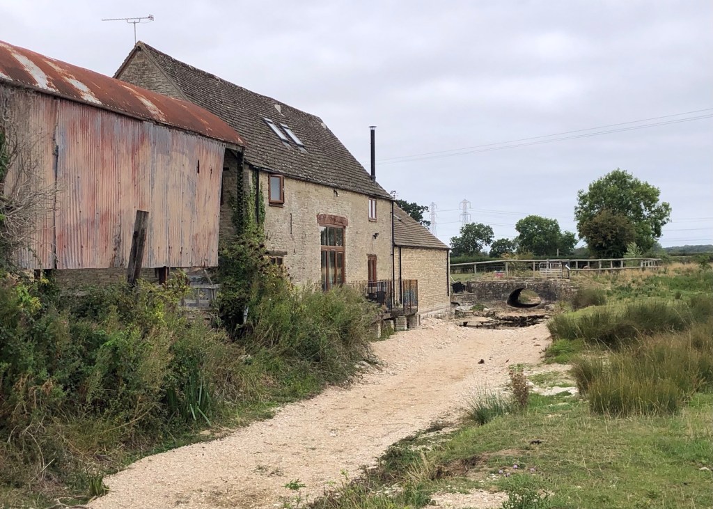
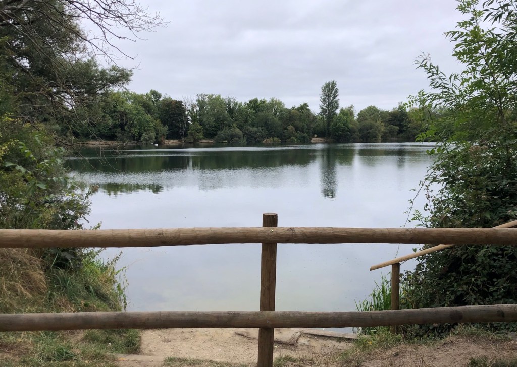
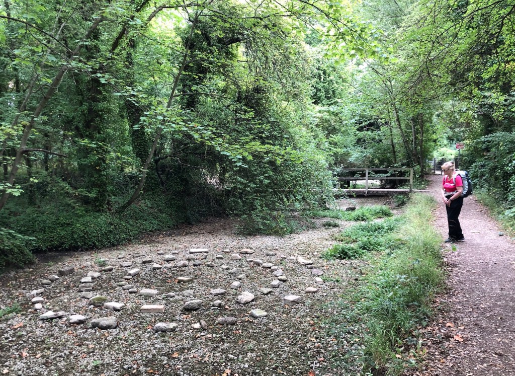
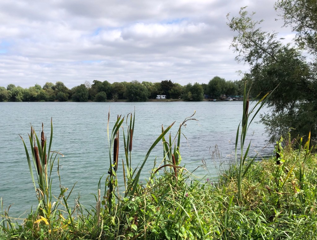
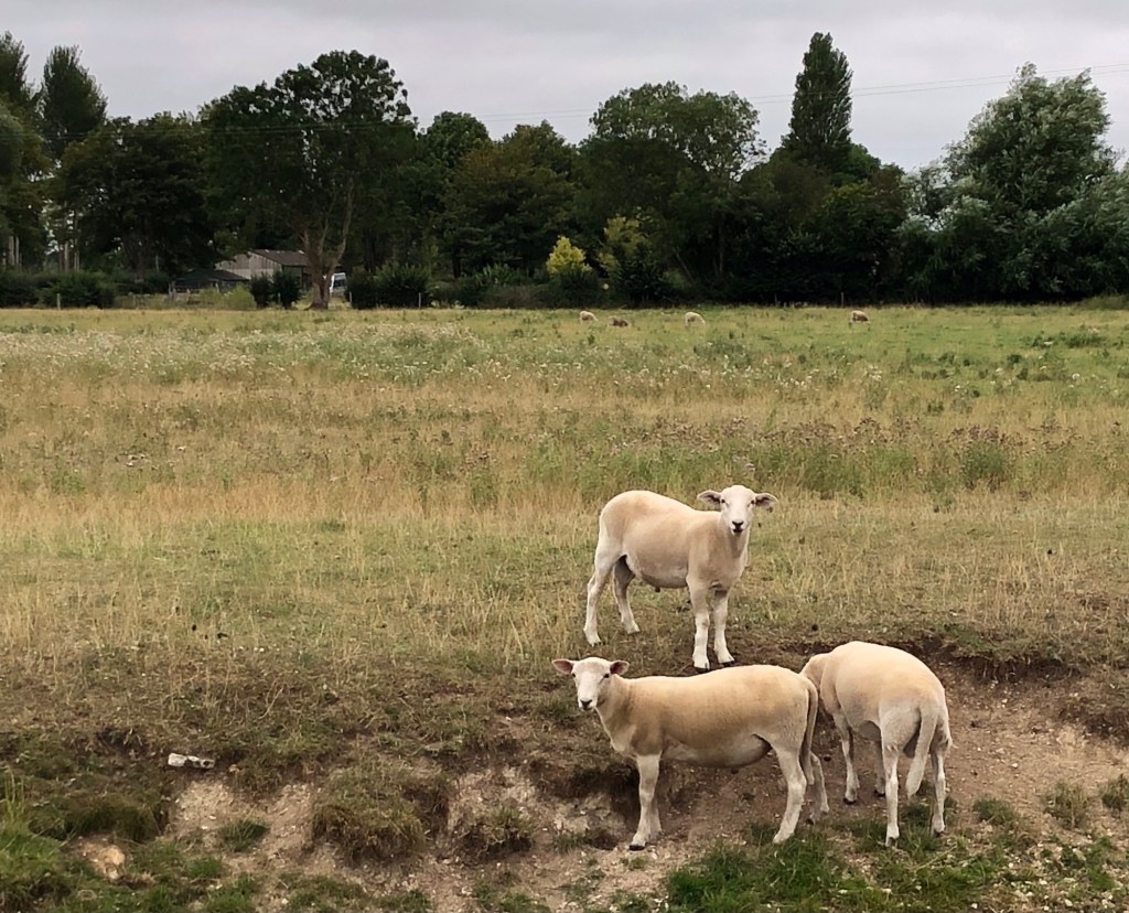
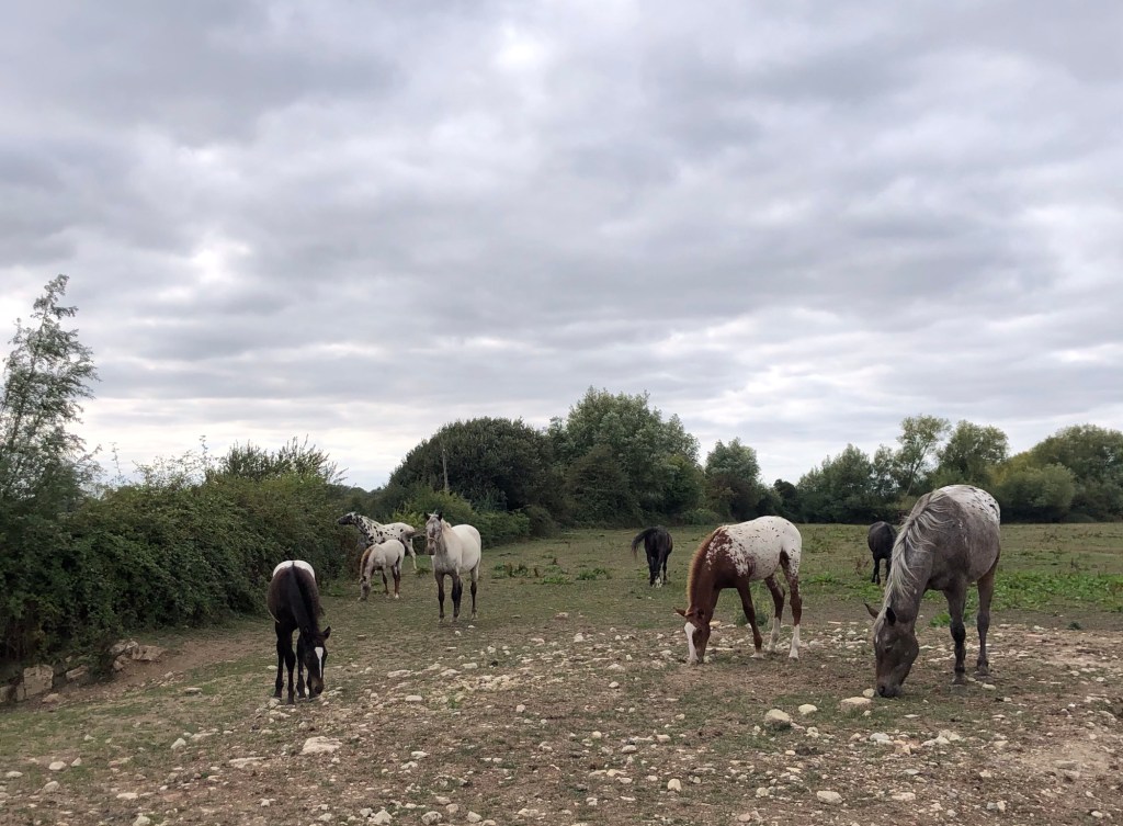
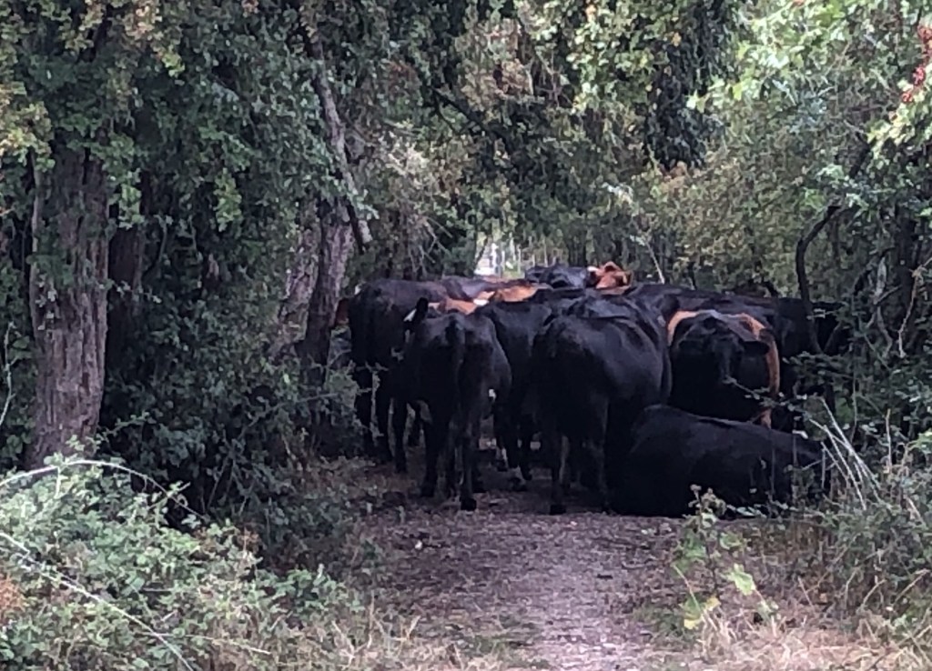
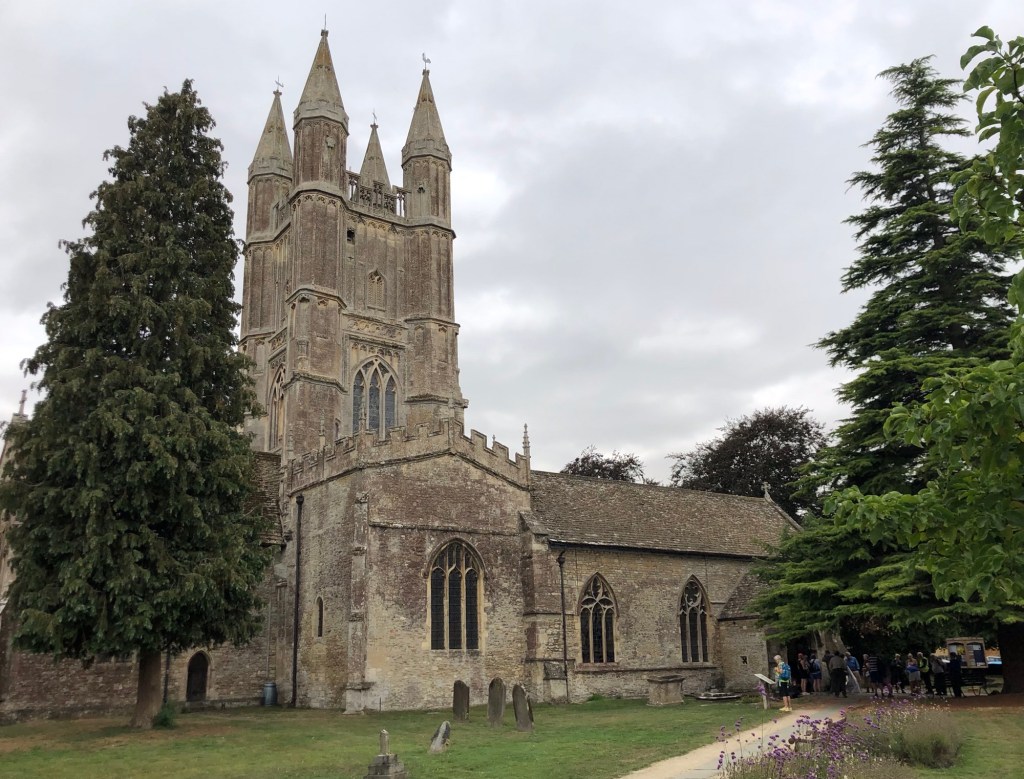
Before I get started in relaying our experience of walking the Thames Path, I think that a few facts and figures on the river itself are in order. The Thames is arguably the British Isles’ best-known watercourse, but in actual fact it ranks second in Great Britain to the Severn in terms of length (and indeed by output of water), whilst both of these rivers defer on these measures to Ireland’s mighty River Shannon. Not to downplay the task ahead of us though, the Thames runs for around 210 miles from its Cotswold source to its ultimate exit into the North Sea between Tilbury in Essex and Gravesend in Kent, and in the process passing through, or adjacent to, ten English counties. Along its length lie many fine towns and villages, as well as the cities of Oxford, Westminster and London; the river becomes tidal as far west as Teddington, and has 50 major tributaries, 80 sizeable islands, and 45 navigable locks (together with their accompanying weirs). For centuries, indeed millennia, the Thames has served as a vital artery for transport and commerce, and this is reflected in the rich heritage of the architecture and engineering along its banks and within the settlements through which the river flows. With the decline in commercial water transport over the last century (and notwithstanding increasing leisure use along some stretches of the water) we soon discovered that there are parts of the river that are surprisingly remote, and that host a fine variety of riverine plant-life and wildlife.
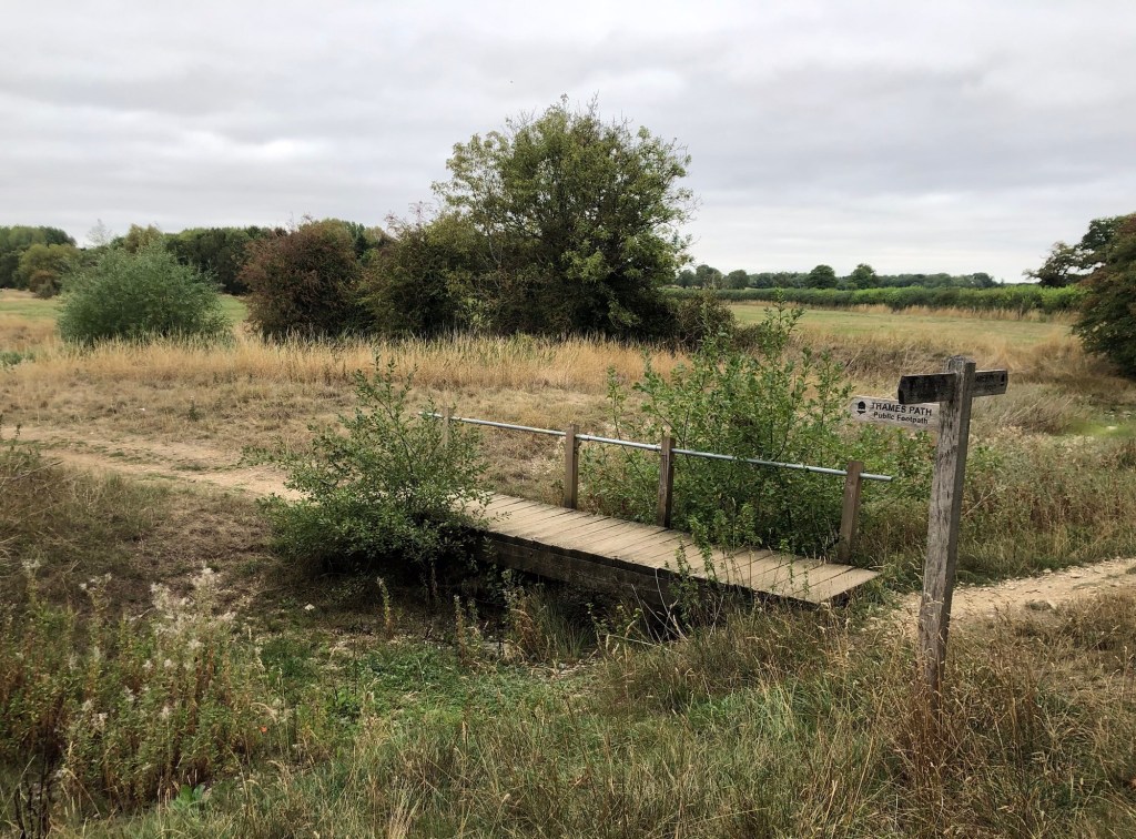
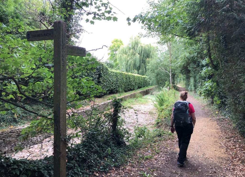
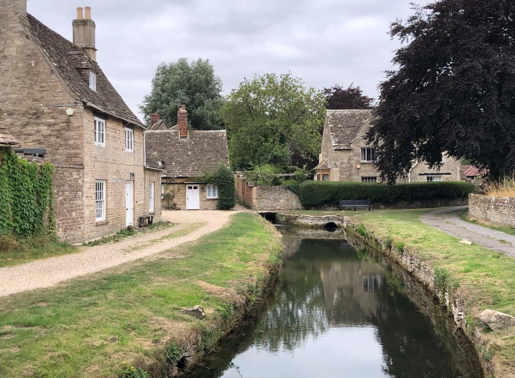
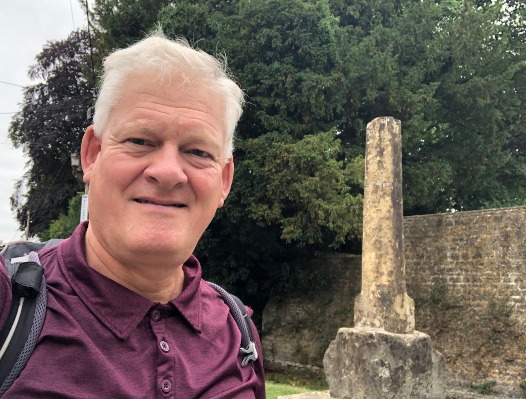
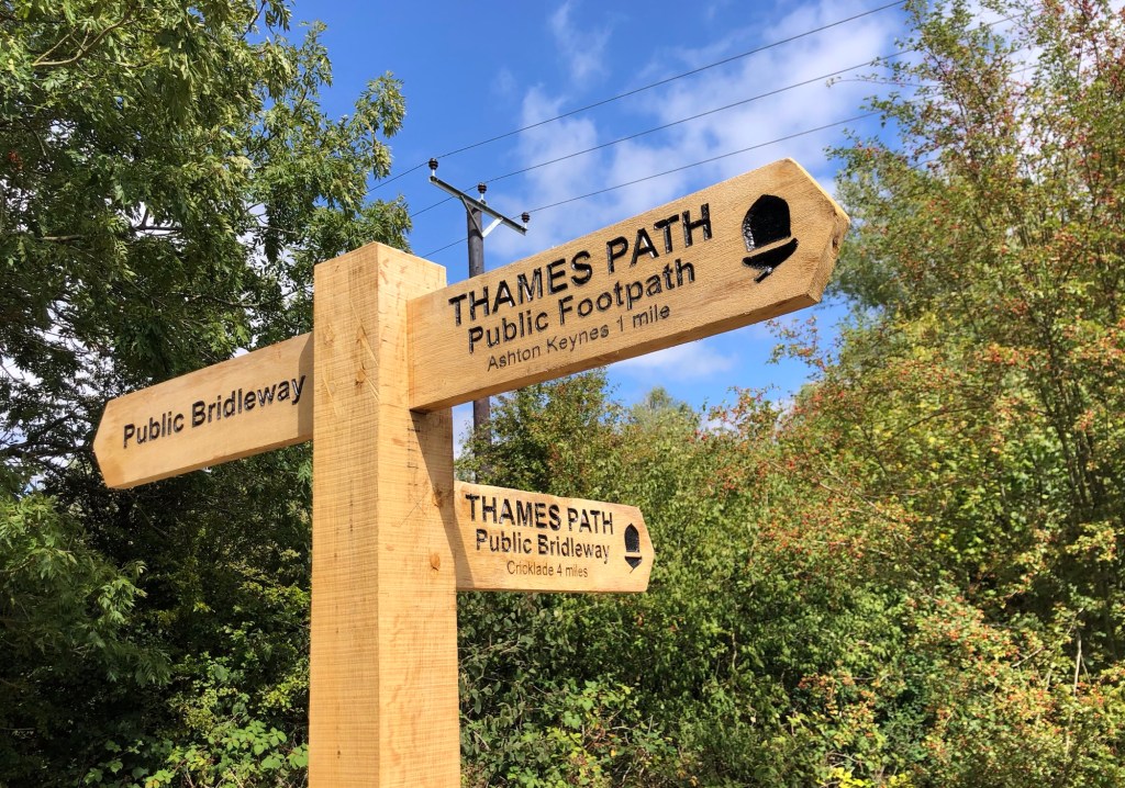
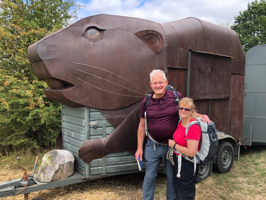
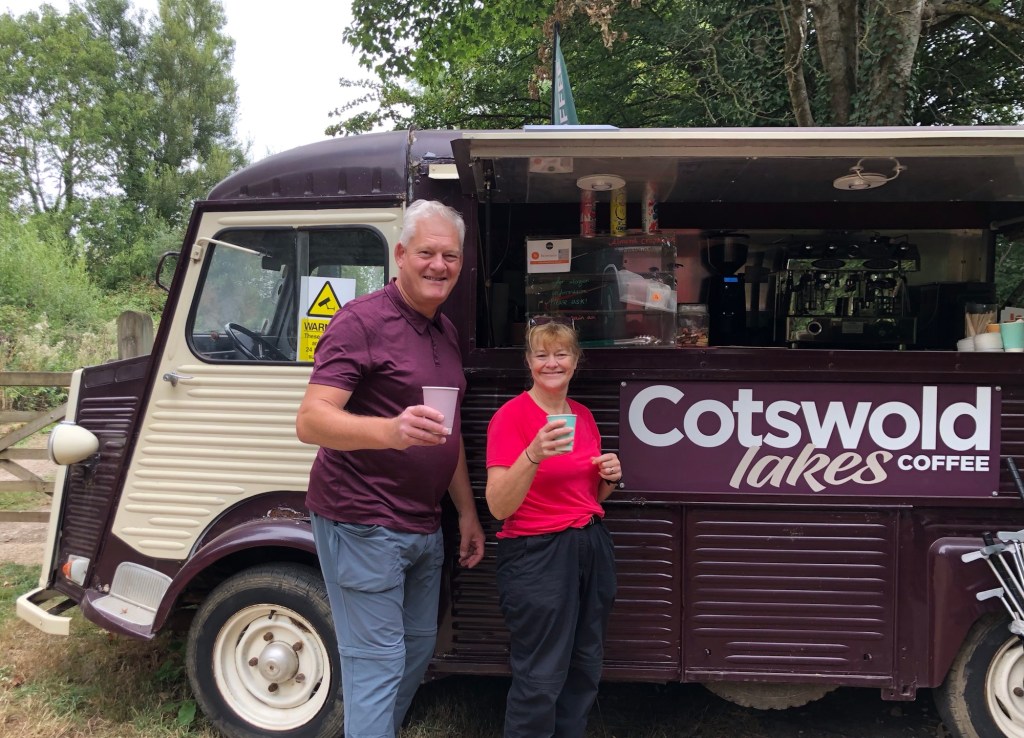
Along with fellow walkers on the Thames Path, Rachel and I are promised (by the National Trail Guide) ‘tranquil water meadows, the dreaming spires of Oxford, and the pageantry of Windsor and Hampton Court’ before a transit of the capital via the western suburbs and then through the beating heart of London itself, to the Thames Barrier, and thereafter to the river’s estuarine limits. Almost all of this trail is relatively accessible, and reasonably close to our home in west Hertfordshire, and (save for a few of the more remote upstream areas) finding accommodation and sustenance should not be our greatest challenge on this trek. And, at least in theory, the walk is all downhill! Here are some pictures of how we got on, as we started out on our first day of the Thames Path.
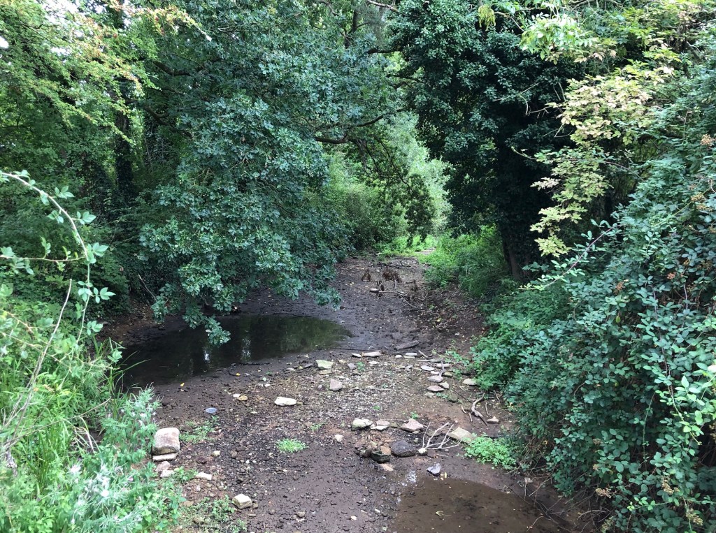
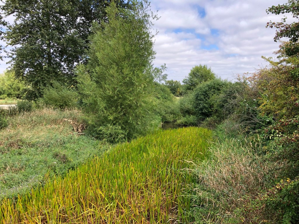

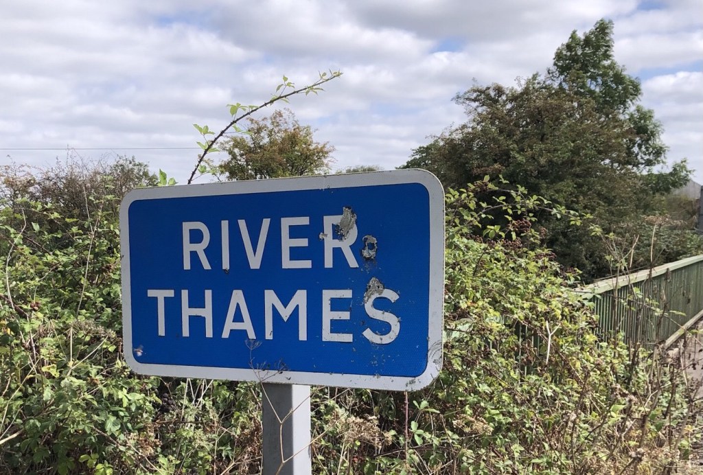
Thus ended a long walking day, of around 7.5 hours. We were fortunate to enjoy some ‘fine but not too hot’ walking weather, as well as some varied scenery that even extended latterly to a brief view of some moving water! So tonight we have arrived on the Thames proper, in Cricklade, beside the river that is to be our companion for the remainder of this long trek. I will report back shortly on the next stage of our journey.
‘Dry River’, my Blog heading for today, has been taken from the title of a 1991 number by US blues and country singer-songwriter Dave Alvin. Whilst referencing a current drought as a metaphor for the low points in life and love, the lyrics anticipate a future deluge; much as our dry Thames riverbed of today must surely be expecting more water within its banks over the coming months. Or perhaps I am reading a little too much into Alvin’s musings.
*Mileages are taken from the OS Thames Path National Trail Guide – we have found these to be ‘straight line’ measurements with no allowance for any diversions for views and sights (nor of course for access to refreshments points, accommodation and transport), so tend to be 10-20% shorter than our actual ‘on the ground’ walking distance for the day in question – for example on this day, all told, we covered around 15 miles, against the 12.3 miles stated in the Guide.

Very interesting account but rather saddening to find those first few miles all dried up! Anyway, thanks for sending these and we’ll be praying you on your way!
LikeLike