
ROUTE 1066 – Day 3: Wednesday 4 November 2026 – HASTINGS to RYE (15 + 3 miles)
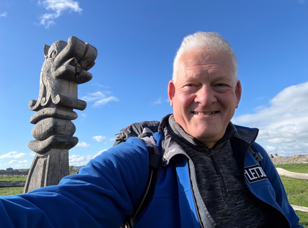
I took the above photo two days ago, in Pevensey, seated in the prow of a miniature replica of a Norman boat, just as I set out on my ROUTE 1066 adventure – and I have included it here in order to add a little colour to what has been an overcast grey day. The weather tested me a little today, as the wind from the east upped a couple of Beaufort notches on yesterday, and blasted straight at me for all but the most sheltered morning sections of my day’s trek, stilting my progress and making the 11 degree temperature feel closer to freezing at times. But the meteorological gods were with me on one important count: no rain all day – and so I stayed dry and was able to keep warm by moving at a fair pace, the frequent gusts notwithstanding.
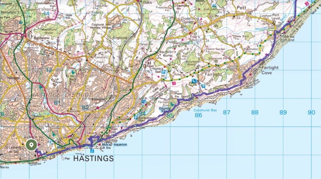
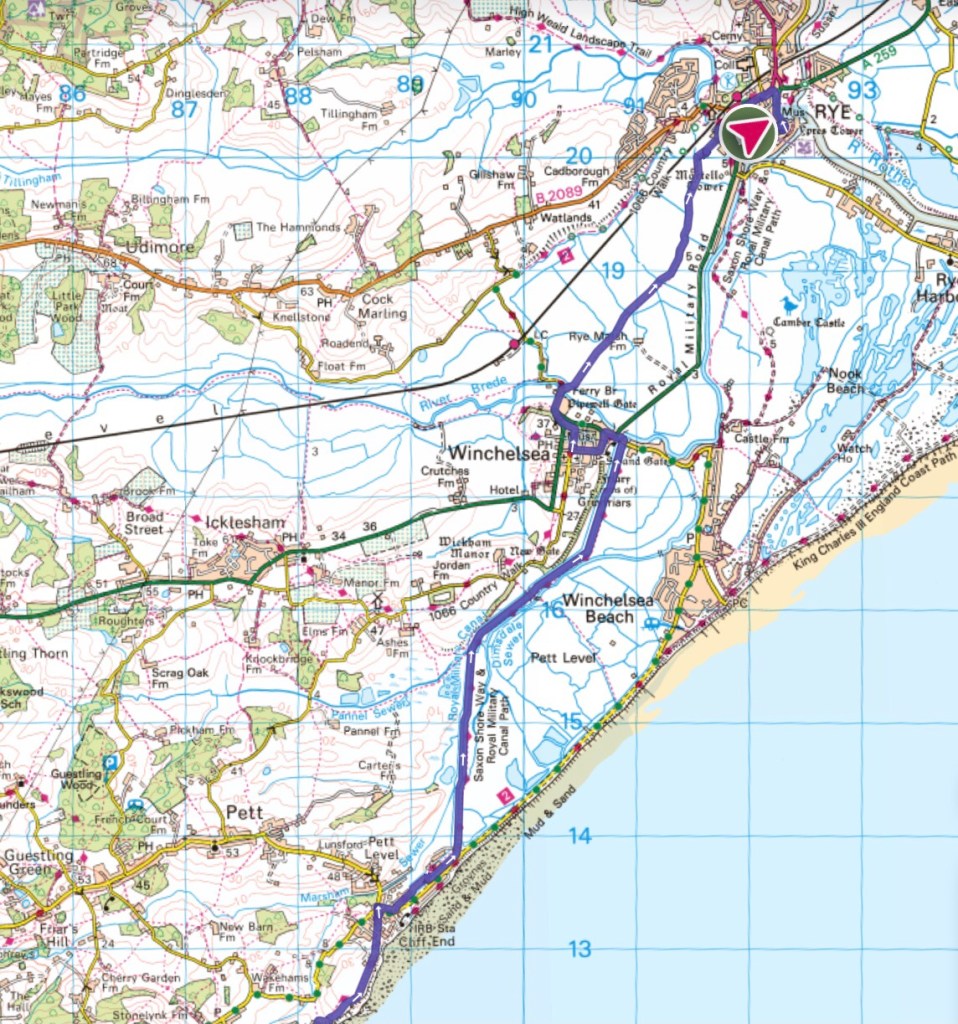
I confess to bending the rules of ROUTE 1066 just a little today. We know that William stayed at Hastings for a while after the battle, possibly for as long as two weeks, and that he likely passed through, or close to, Rye on his subsequent eastward march to Dover. Whilst my research has failed to discover any further details of his path between these two towns, it seems hardly likely that his army would have followed the rugged cliff-top path that I took today. And, as the map below shows, he would have been unable to take the track across the levels that I used today – as up to the late Middle Ages this area was a tidal estuary. So I have rather done my own thing today, with the joy of recreational walking, rather than historical accuracy, uppermost in my mind.
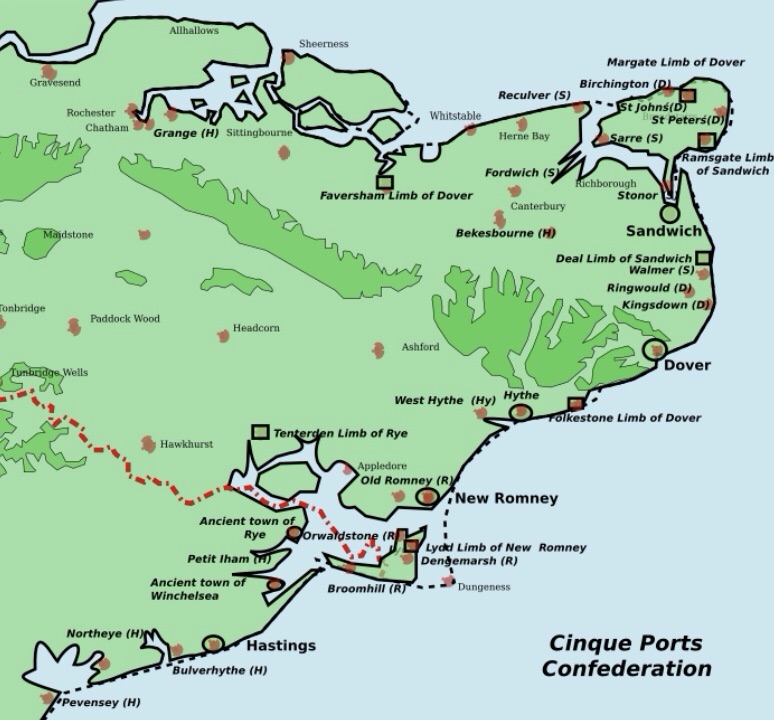
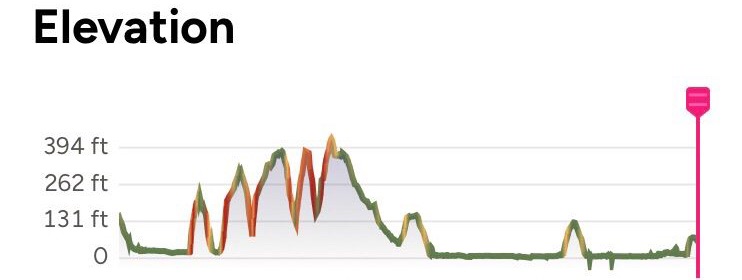
So today’s was a walk of two halves: a challenging morning on the cliff-tops following the King Charles III England Coast Path, followed by the easier-going flatlands of Pett Level during the afternoon. Here’s how I fared:
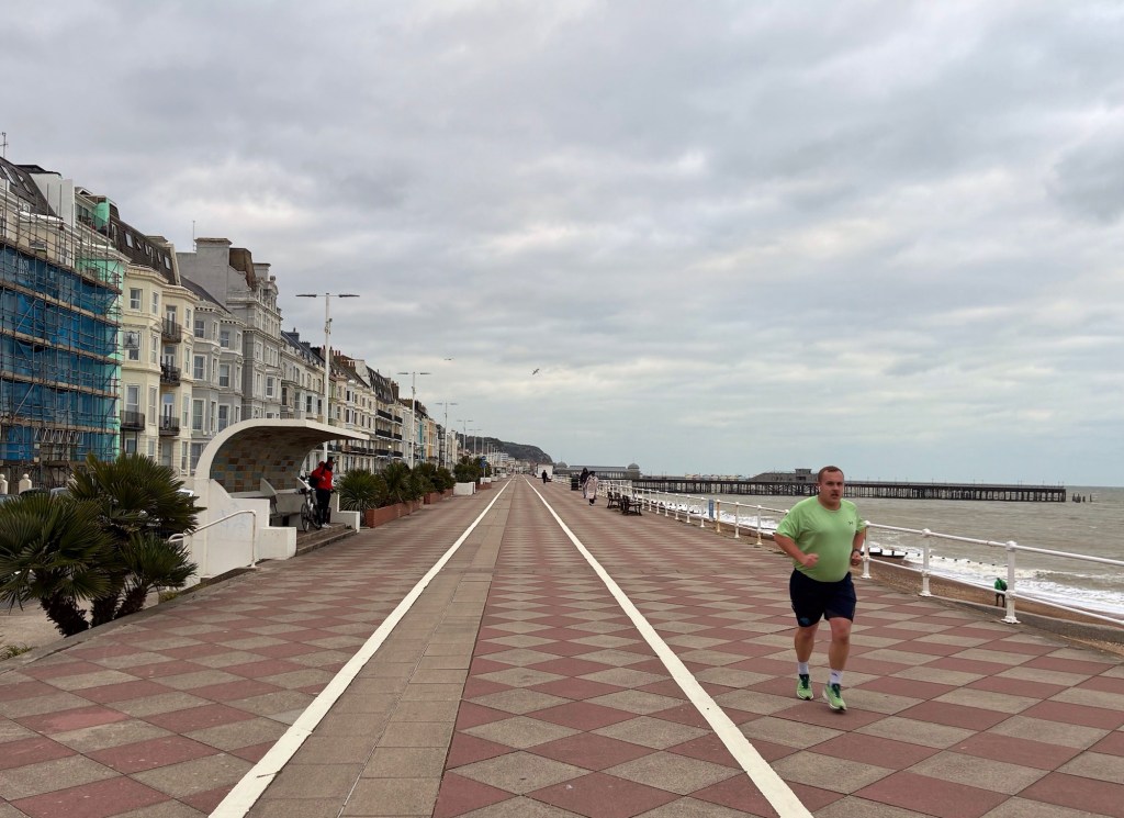
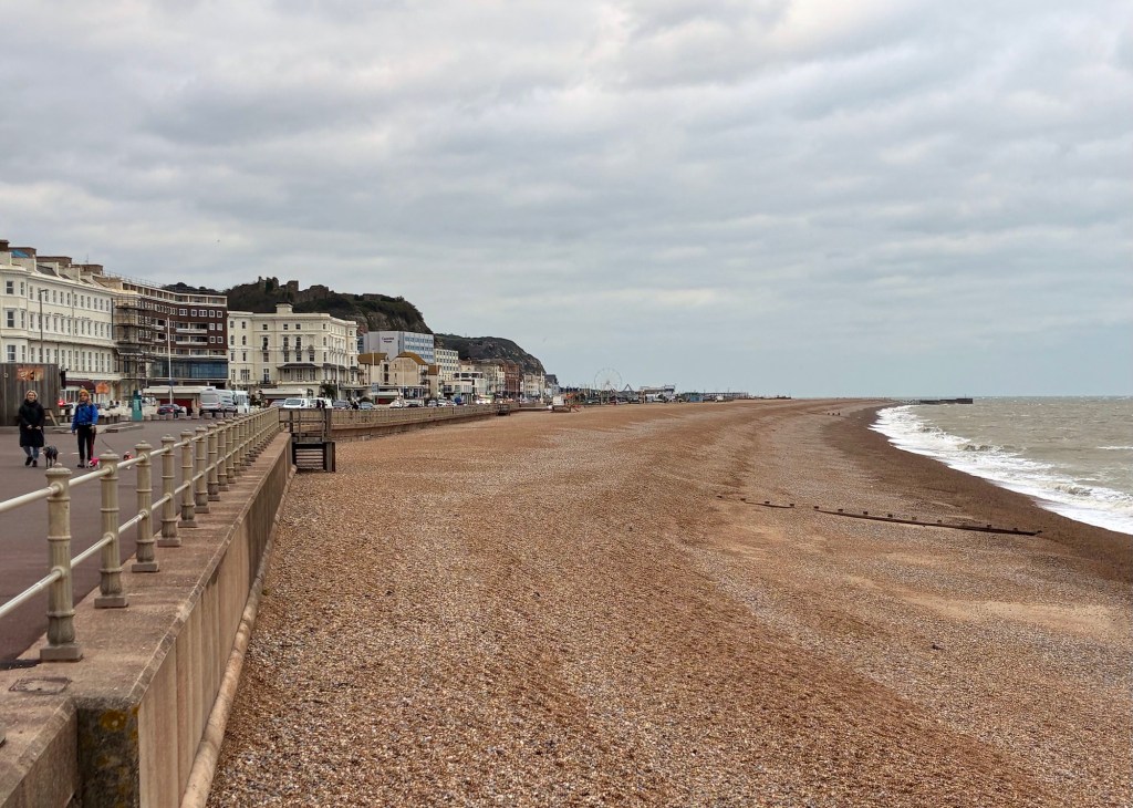
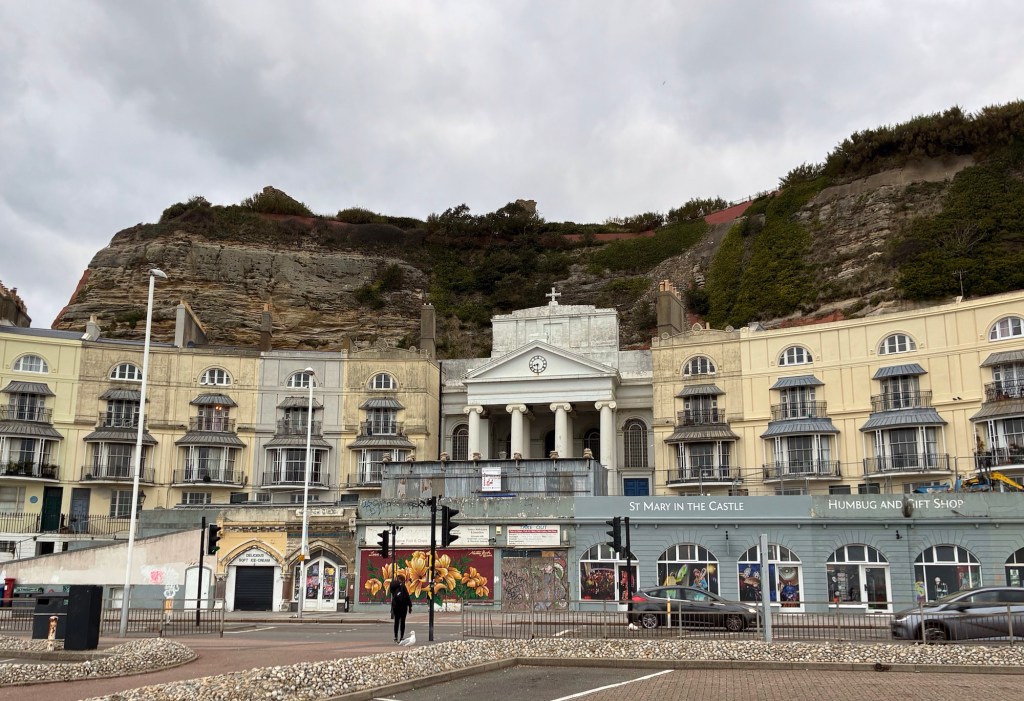
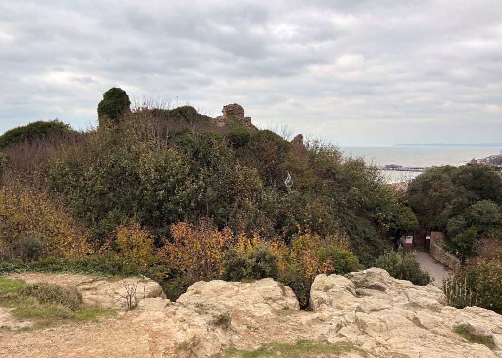
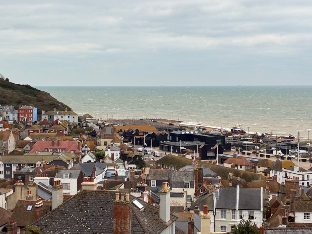
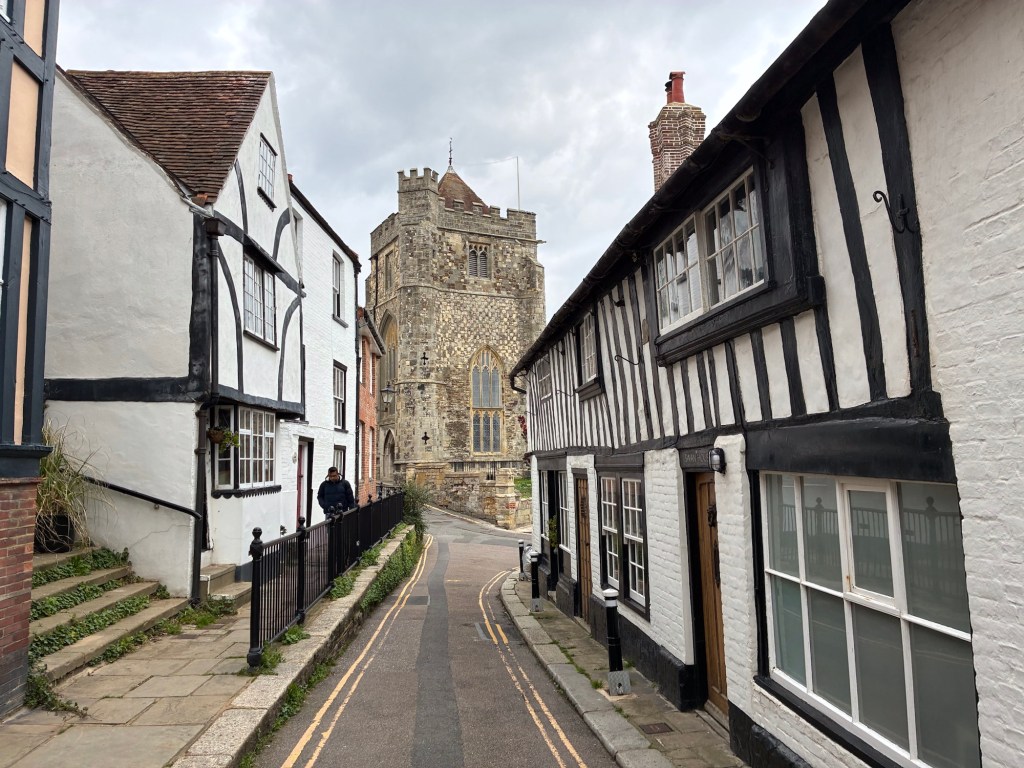
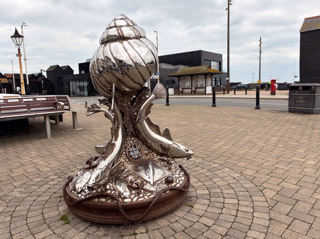
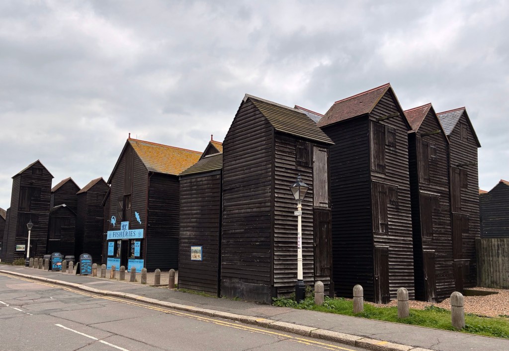
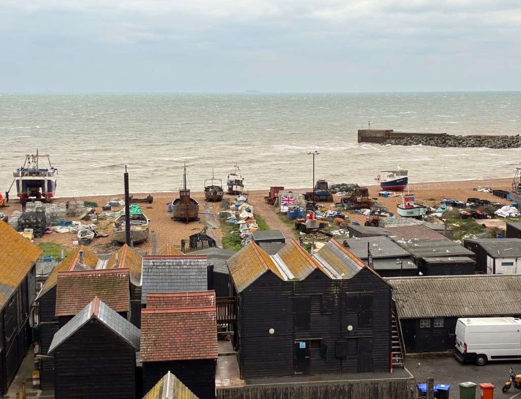
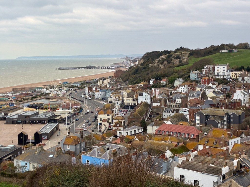
Before we leave Hastings behind I will pause my journey here, for another look back at 1066:
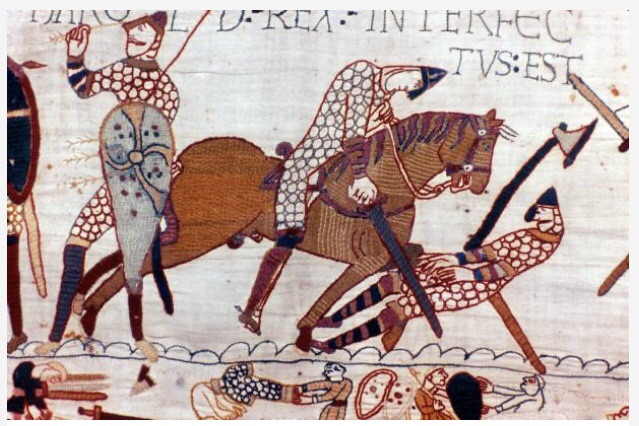
I said in yesterday’s post that I would say a little about the circumstances of Harold’s killing at the Battle of Hastings. Popular knowledge has it that the Anglo-Saxon monarch was felled by an arrow to his eye – but things are not so clear-cut when the historic record is examined. Contemporary accounts from the time, and some subsequently, take varying standpoints on the details of Harold’s ending, often skewed by the standpoints and politics of the respective witnesses (of whom I will say a bit more in a future post). One contemporary source has it that, towards the end of a long day’s battle and with the English shield-wall finally being breached, the Norman leaders, William included, spotted Harold and sent in a ‘hit squad’ to slay the Anglo-Saxon king. Harold was duly butchered by French horsemen (possibly including William, according to one account) and with this act the French emerged victorious. The ‘arrow to the eye’ alternative fits with some Norman commentators’ desire to portray William as gracious rather than barbaric, and the arrow hit as a random act (to such degree that this can be the case in the heat of a full-on Middle Ages battle) that found its mark in Harold, as if by divine provenance. This latter version would certainly have fitted well with William’s wish to mollify and maintain relations with the Pope, who was inclined to think ill of those who slayed rival monarchs. Add into the mix the physical evidence that the arrow in the relevant scene on the Bayeux Tapestry (see above) might have been added during a 19th Century ‘refurbishment’ of the artefact – in order to protect William or the arrow myth itself (or both) – and you will appreciate that scholars of the Norman period have quite a conundrum. The Tapestry itself fails to give a decisive answer: is Harold the figure to the left (seemingly pulling an arrow – that might have been added later – from his eye), or the falling victim to the right who is being cut down by the horseman? As a later-day poet might conclude: ‘the answer, my friend, is blowing in the wind’.
To continue now with my own story of today’s walk:
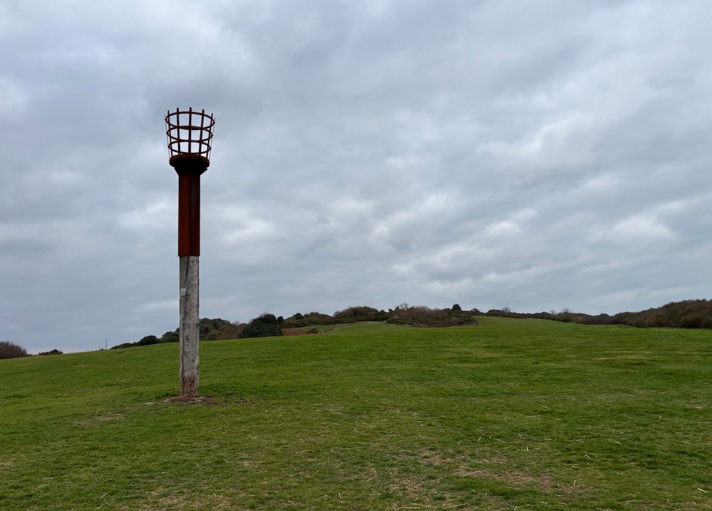
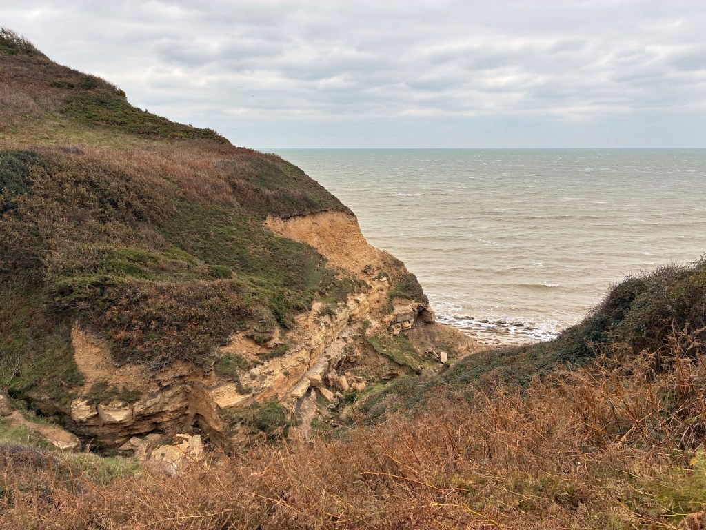
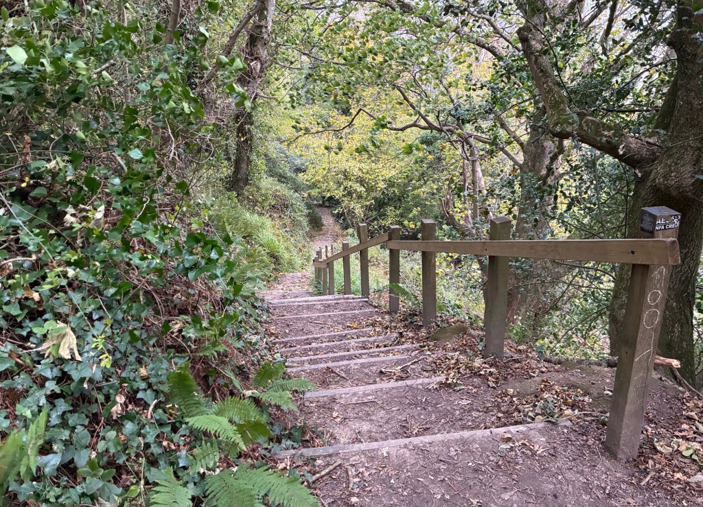
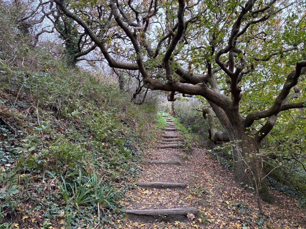
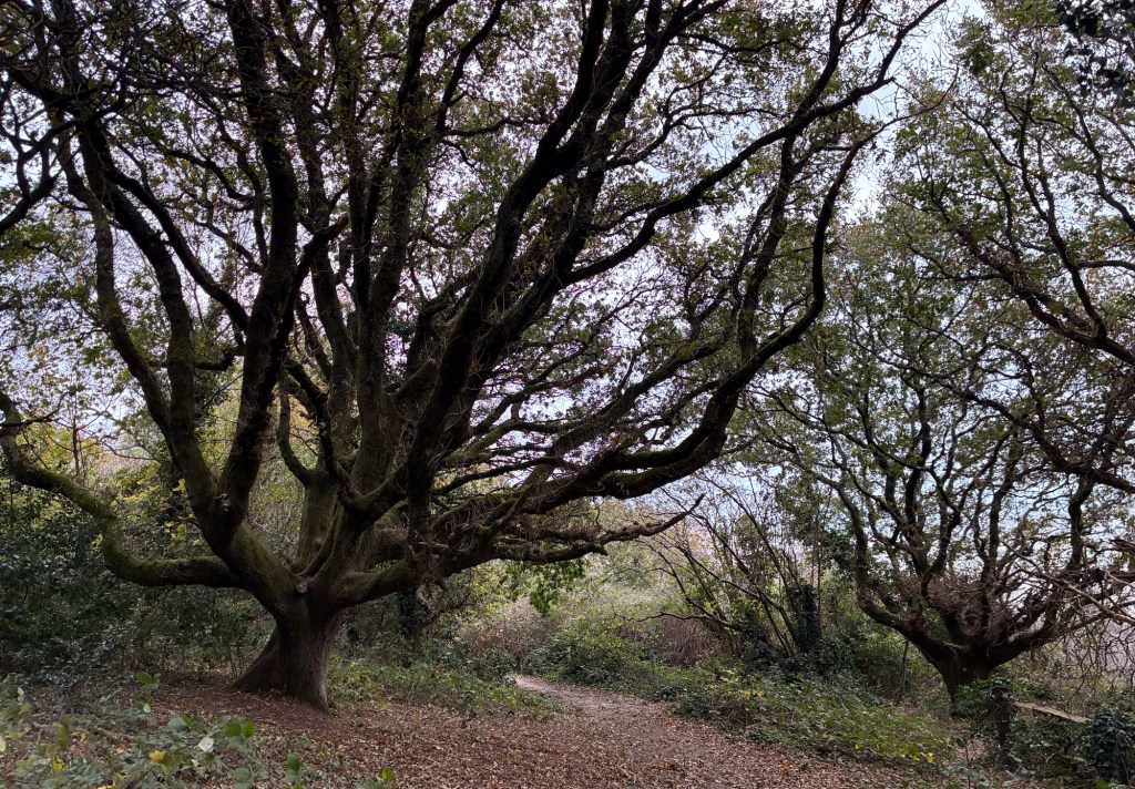
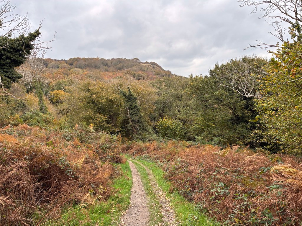
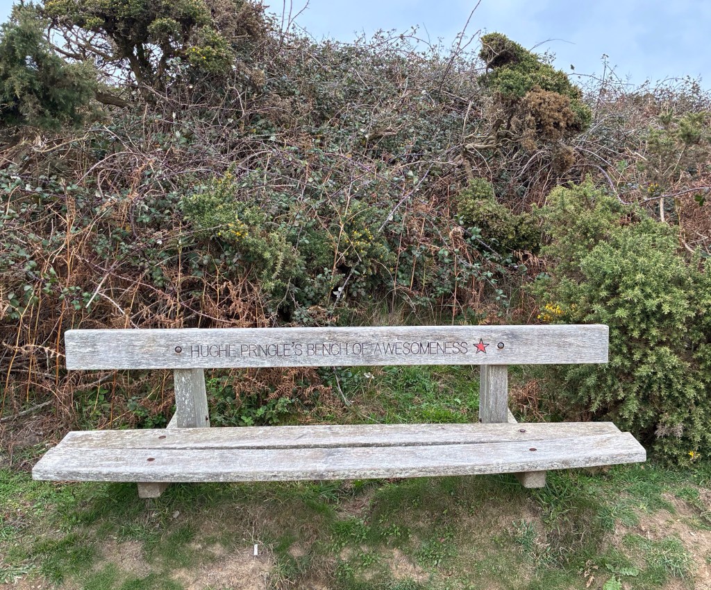
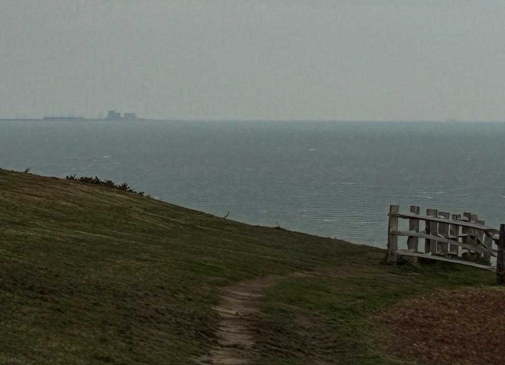
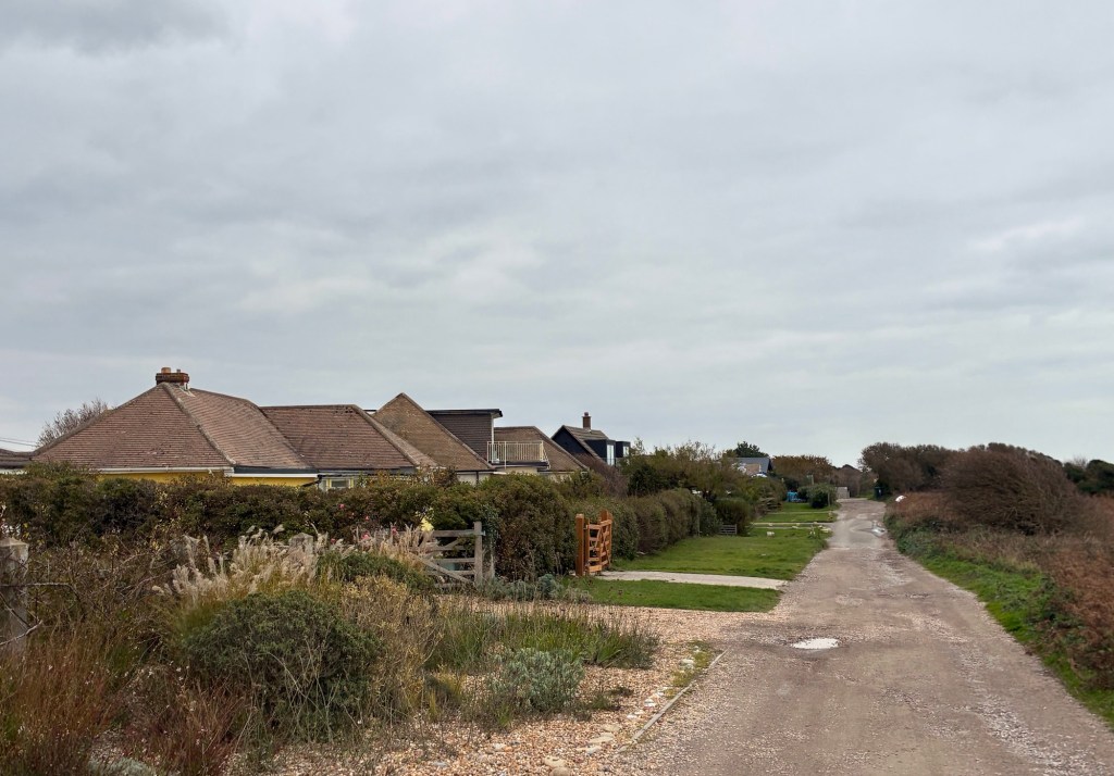
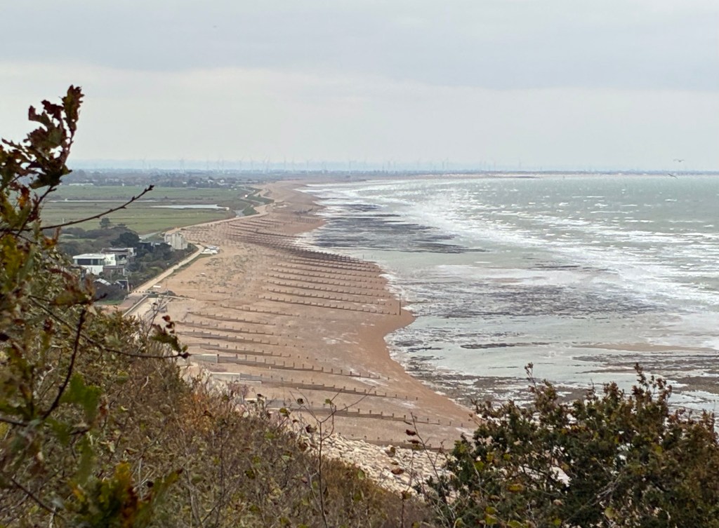
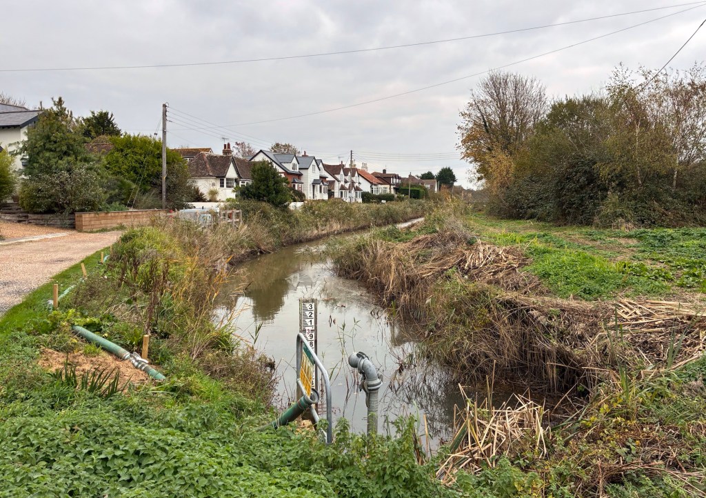
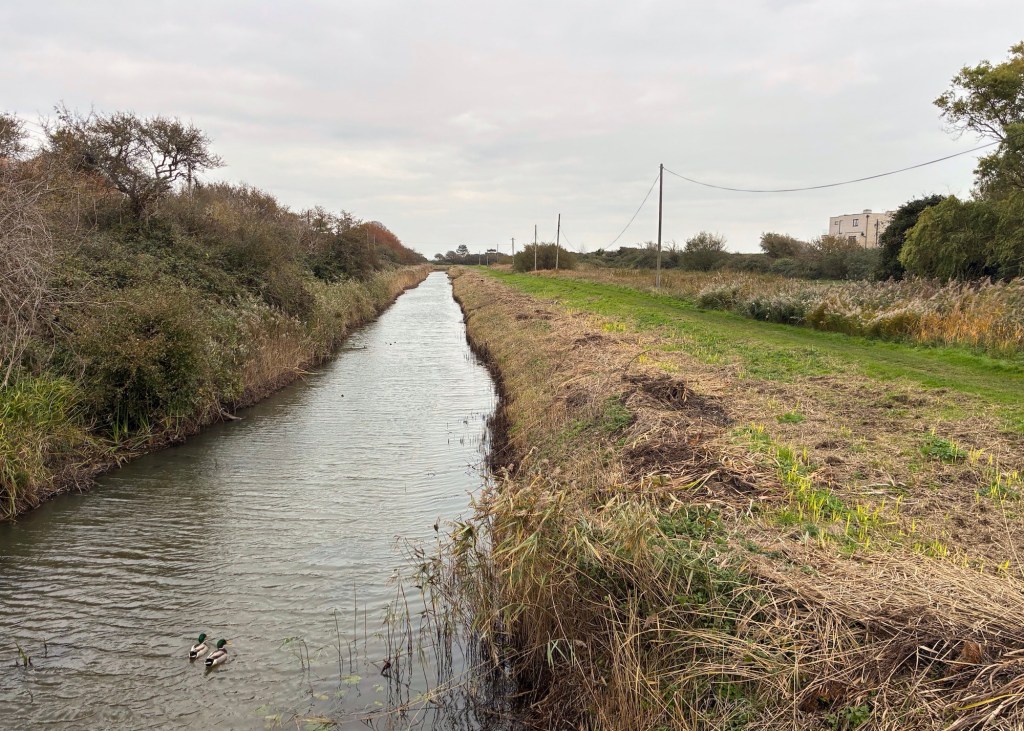
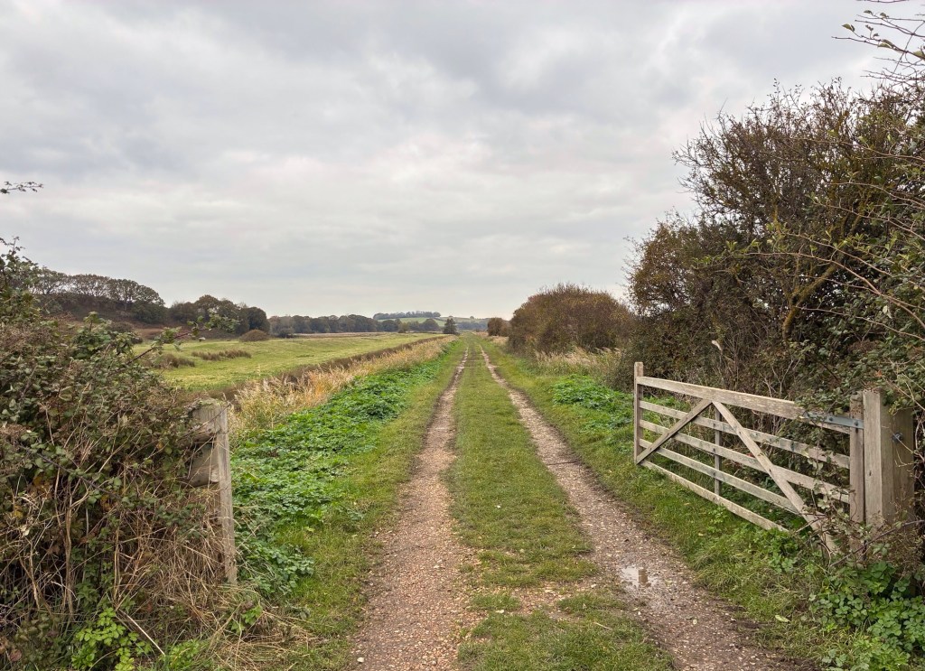
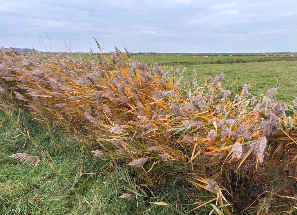
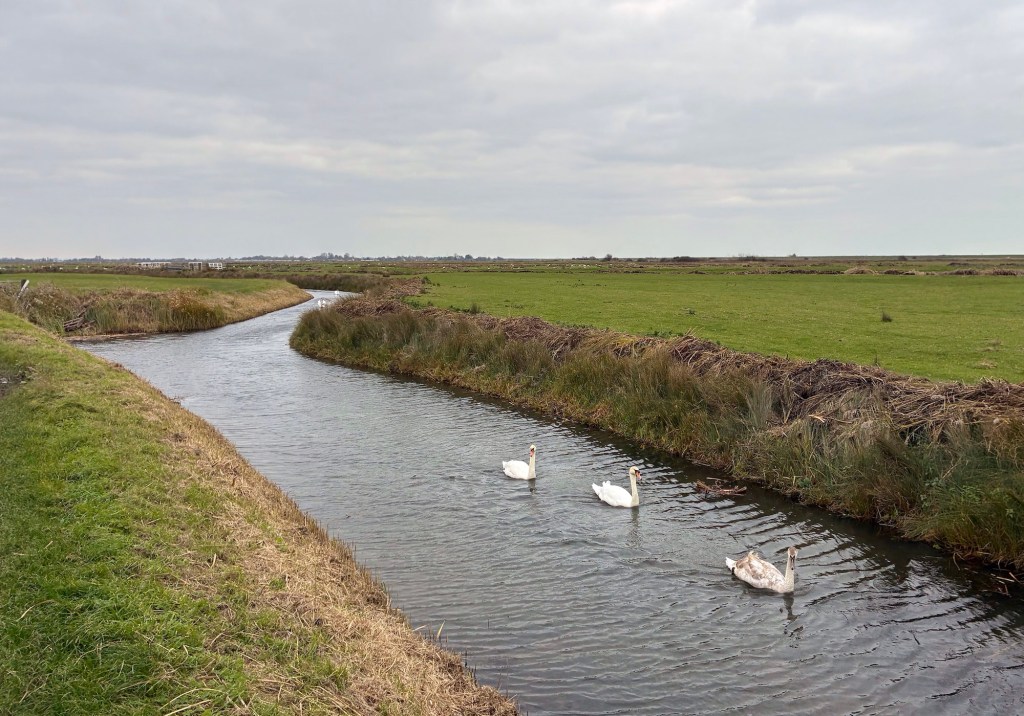
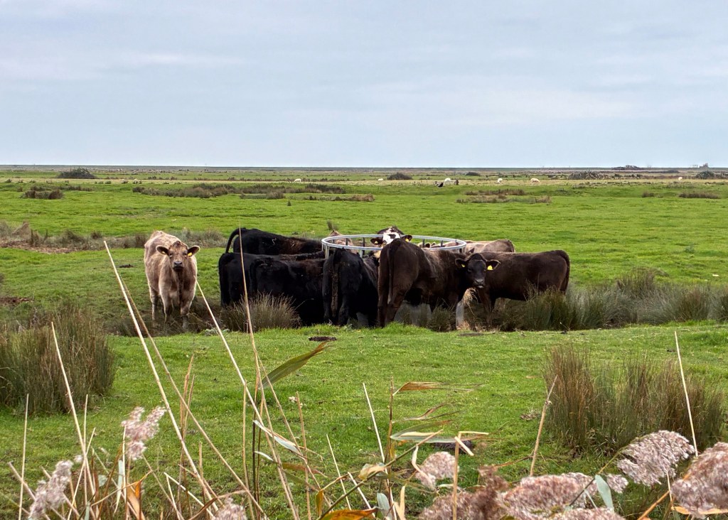
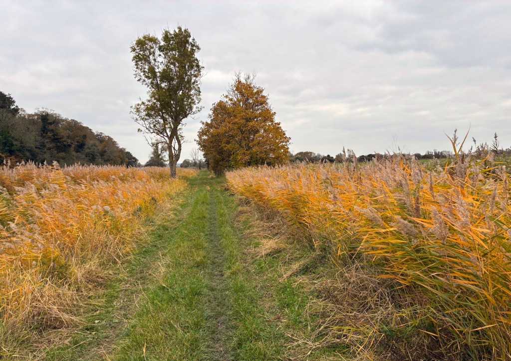
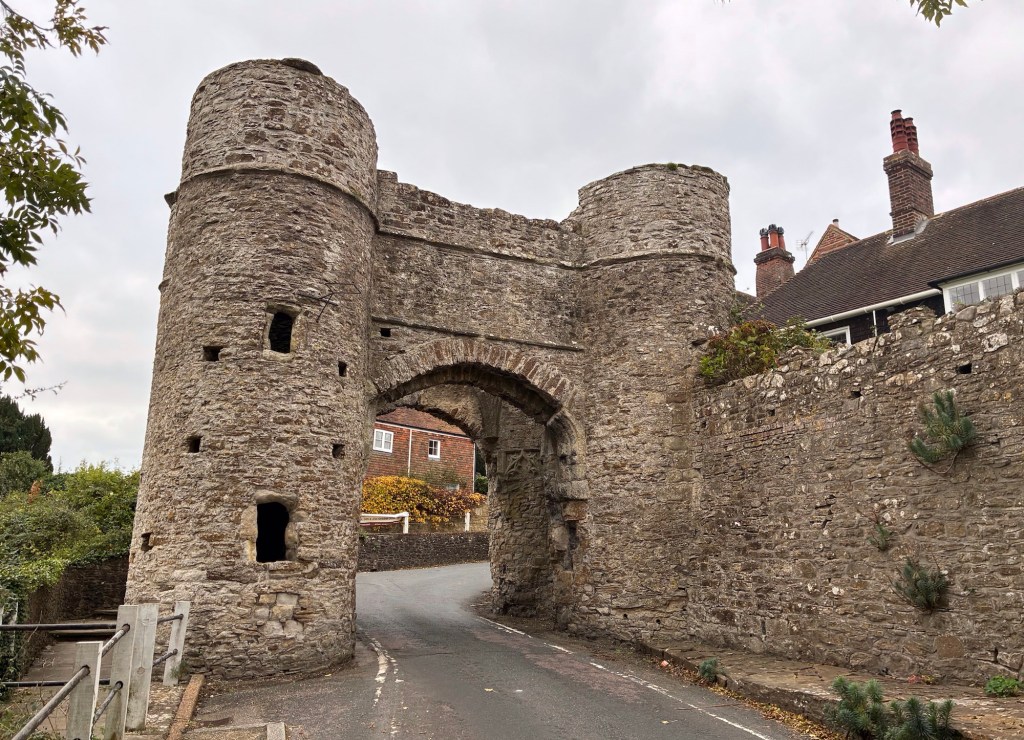
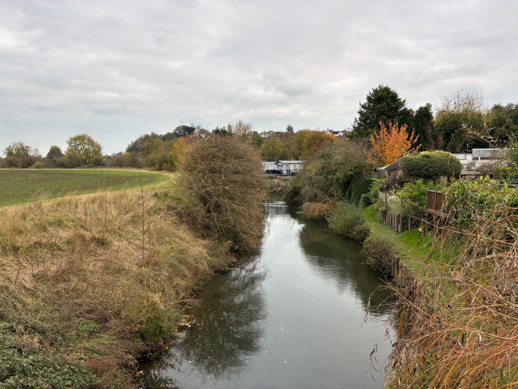
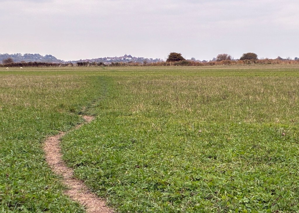
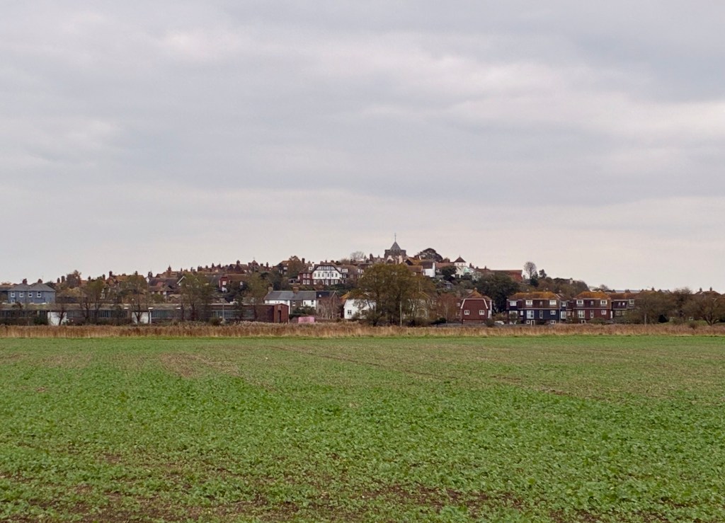
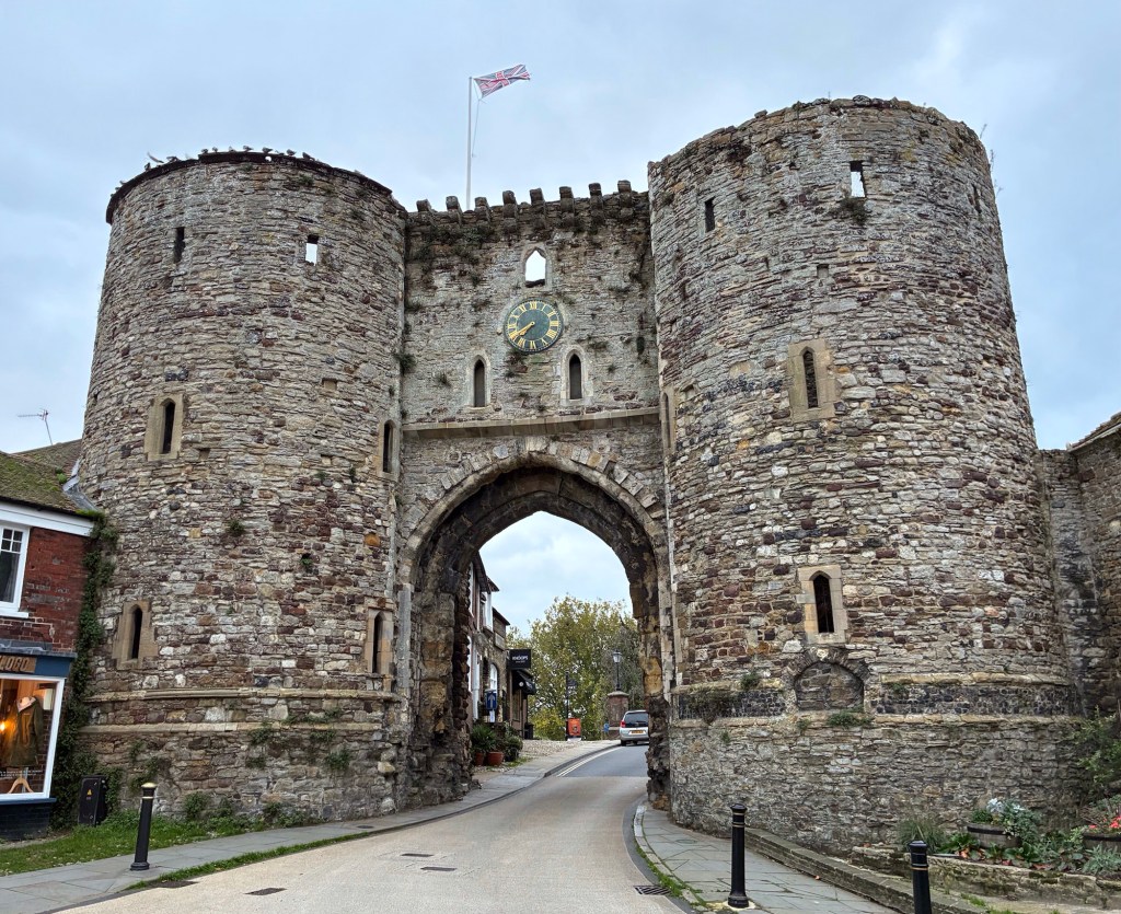
I can certainly feel my legs this evening, after the exertions of the cliff path. Tomorrow brings a different challenge – a longer walk of around 22 miles, albeit on flatter terrain and with the promise of favourable weather conditions. So my mission tonight is rest, before an early start – I shall be walking again with the dawn, on the next stage of my ROUTE 1066 journey.

Thank you for following my ROUTE 1066 journey – re-tracing the steps of William the Conqueror in 1066 on his 360-mile campaign trail from Pevensey Bay, via Berkhamsted, and on to Westminster Abbey. If you are following my Blog, enjoying the ramble, and would like to help us to SAVE CASTLE FIELDS for future generations by pledging £39 to sponsor a 3×3-metre square of the land, then please click on this link:
THANK YOU ALL FOR SUPPORTING MY ROUTE 1066 WALK, AND FOR HELPING TO PRESERVE THE LEGACY OF CASTLE FIELDS

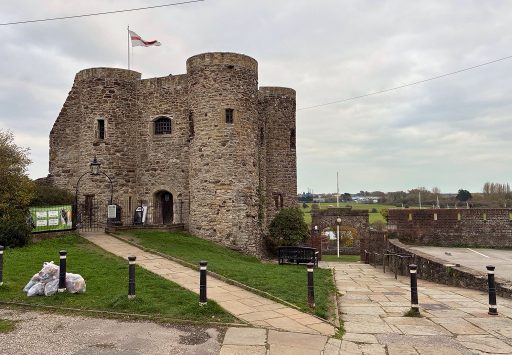
My Blog heading today ‘Poison Arrow’ borrows from a hit by ABC off their bestselling 1982 album ‘The Lexicon of Love’. The dance-pop song was co-written by lead singer Martin Fry and reached No 6 on the UK chart. There is no suggestion that Harold’s alleged arrow had been poisoned, so I have indulged myself with a little historical artistic licence in adopting today’s Blog heading.